Against a backdrop of rising global climate uncertainty and growing storm-related risks across small island developing states, the Government of Dominica has teamed up with the Caribbean Community Climate Change Centre (CCCCC) to launch an ambitious $26 million initiative targeting climate adaptation and inclusive sustainable growth for at-risk local populations.
Named the Dominica Community Resilience Enhancement Project (DOMCREP), the five-year undertaking draws most of its financing from the Green Climate Fund (GCF), with complementary contributions from the Dominican government. It marks a major milestone in Dominica’s long-standing national pledge to become the world’s first fully climate-resilient nation, a goal set years ago as the island grapples with intensifying hurricanes, coastal flooding and erratic weather patterns that threaten livelihoods and national development.
Officially announced this Wednesday via an official statement from the CCCCC, the project will center on four core priority areas: shoring up national food security, upgrading disaster preparedness frameworks, expanding early warning system coverage, and building community-level skills and resource access to address accelerating climate impacts. Eight communities across Dominica, all ranked at extremely high risk of climate disasters including hurricanes, flash flooding and storm surge, have been selected as direct beneficiaries: Bagatelle, Campbell, Colihaut, Coulibistrie, Good Hope, Petite Soufriere, Pichelin, and San Sauveur.
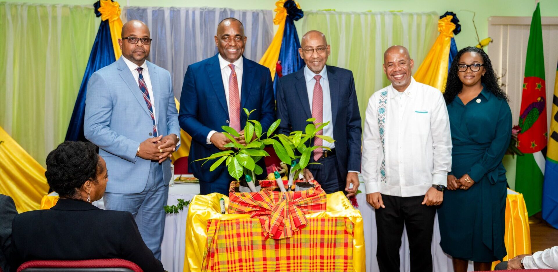
Speaking at the project’s launch ceremony, Prime Minister Roosevelt Skerrit emphasized that the initiative is designed to deliver direct, tangible benefits to grassroots residents. He noted the investment totals roughly EC$70 million, all of which will flow directly to participating communities, with more than half of the total budget earmarked for agriculture, agro-processing, and expanding economic access specifically for women. “It is important for us in the communities to prepare ourselves for these investments,” Skerrit stated.
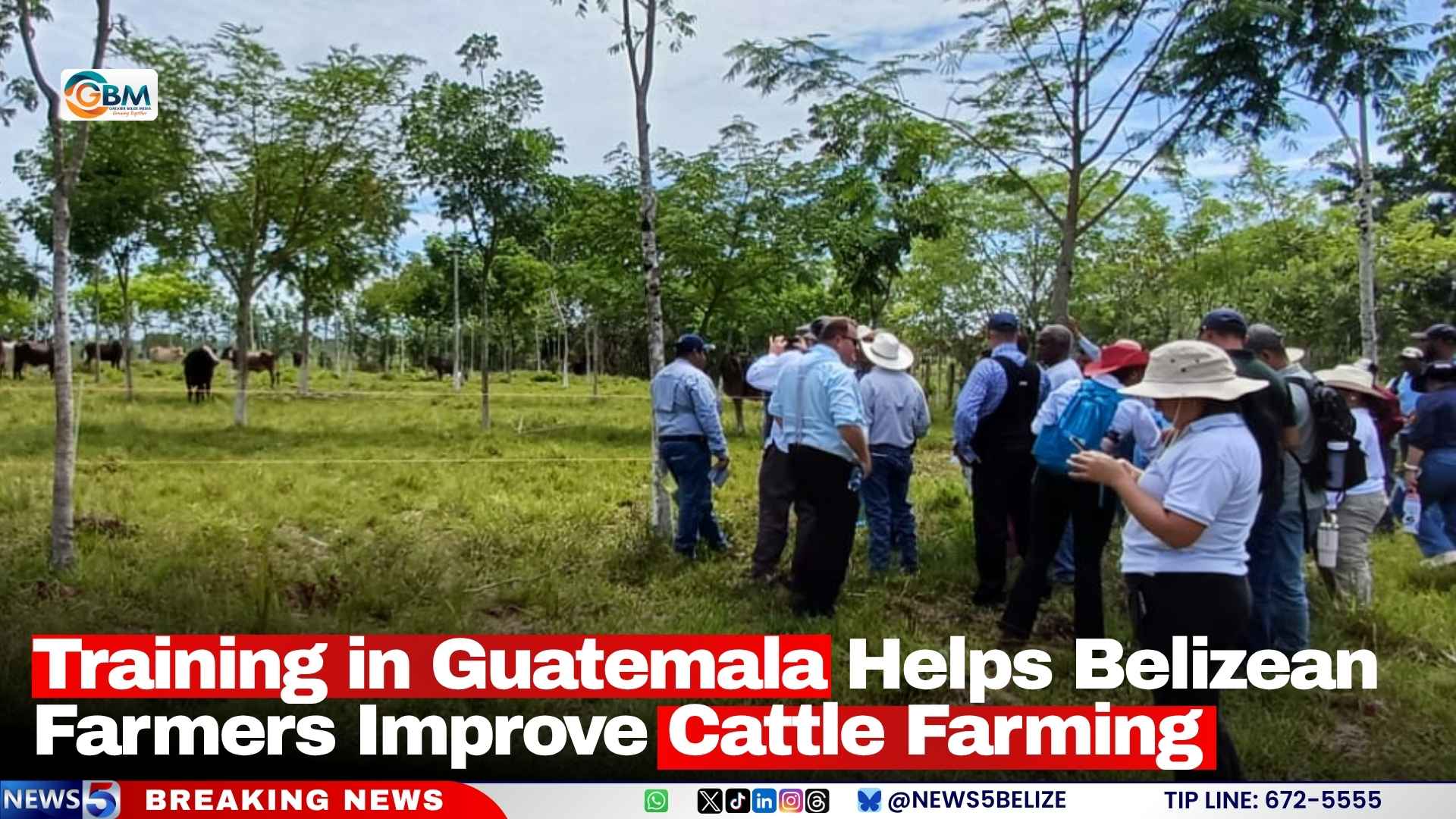
A large share of the funding will be dedicated to scaling climate-smart agriculture across the target communities, where smallholder farming forms a core part of local livelihoods. Participating farmers will receive access to upgraded climate-resilient technologies, training in sustainable low-emission production methods, and support to adapt to shifting growing conditions. The end goal of this focus is to boost crop yields, cut climate-related production losses, and strengthen the country’s overall food security, reducing dependence on costly imported food supplies.
Beyond agricultural support, DOMCREP will also finance critical upgrades to national disaster management infrastructure, including the retrofitting and construction of emergency shelters and associated response facilities. The upgrades are designed to ensure these critical hubs can withstand severe weather events, offering more reliable protection for residents when disasters strike.
Dr. Colin Young, Executive Director of the CCCCC, framed the project as a far-reaching investment in shared social and economic prosperity, rather than just environmental adaptation. “When we invest in a farmer’s ability to adapt, we invest in a family’s food security and a community’s economic future,” he explained.
In addition to infrastructure and agricultural improvements, the project will upgrade Dominica’s national multi-hazard early warning systems, boosting the country’s ability to detect and respond to a wide range of impending climate threats. Extensive skills training programs and public education campaigns will also be rolled out to increase community climate awareness and build long-term local capacity to address evolving climate challenges.
A defining feature of DOMCREP is its intentional focus on inclusive development. Women, young people, and other marginalized vulnerable groups are positioned as core participants and beneficiaries of the initiative, which aims to create sustainable, long-term economic opportunities while strengthening overall community resilience.
Dr. Young stressed that the success of the project will not be measured by spending or completed construction alone, but by the measurable improvement it brings to the daily lives of participating residents. “Ultimately, the success of this project will be measured not by budgets or outputs, but by the difference it makes in people’s lives,” he said. “By investing in women and youth, we are investing in the longterm resilience, prosperity, and sustainability of communities across this country. As the CARICOM institution with responsibility for coordinating the region’s response to climate change, the CCCCC remains committed to supporting Dominica and our Member States in accessing climate finance and transforming those investments into meaningful results for people and communities.”
The CCCCC, an intergovernmental body established by CARICOM Heads of Government to coordinate regional climate action, serves multiple key roles across the Caribbean: it acts as a leading implementing partner for international climate finance, maintains a regional repository of climate data and research, and provides policy guidance and technical support to all CARICOM member states as they work to address climate change.
Over the five-year implementation period, DOMCREP is expected to deliver lasting progress toward Dominica’s national climate resilience agenda, while advancing the country’s commitments to broader global sustainable development goals.