分类: environment

  • El Niño drastically decreases the levels of dams in the country

    El Niño drastically decreases the levels of dams in the country

    SANTO DOMINGO, Dominican Republic — A strengthening El Niño phenomenon is pushing the Dominican Republic toward one of its most severe drought events in modern history, bringing widespread cuts to water production and raising urgent concerns about long-term water security across the country, according to updated forecasts from U.S. and local meteorological authorities.

    The U.S. National Oceanic and Atmospheric Administration (NOAA) confirmed in its August 13 update that there is a greater than 90% probability El Niño will continue to intensify through the coming months, reaching a peak of very high intensity. For the Caribbean region, this forecast translates to sharply elevated risks of sustained below-average rainfall and prolonged drought conditions that have already begun to upend normal water access for thousands of Dominican residents.

    Since May, the key river basins that feed the country’s major aqueduct systems — including the Higüey, Isa-Mana, Duey, Isabela and Nizao rivers that supply the critical Valdesia aqueduct — have recorded dramatic drops in rainfall. Data from the Dominican Institute of Meteorology (Indomet) shows precipitation has remained well below historical seasonal averages for three consecutive months: a 46% deficit in May, a 54.5% deficit in June, and a 45.3% deficit in July.

    These sustained dry conditions have gutted water production at the nation’s largest aqueduct networks, according to the Santo Domingo Aqueduct and Sewerage Corporation (CAASD). The Haina-Manoguayabo aqueduct, which is designed to output 90 million gallons of drinking water per day, was operating at just 21 million gallons daily as of mid-August, representing a 68% cut to total production. The Isabela aqueduct has seen a similar 65% reduction, falling from a normal 9 million gallons per day to just 3 million gallons daily. Both the Isa-Mana and Duey aqueducts have also endured production drops of more than 60% amid the ongoing dry spell.

    The hardest-hit areas are low-income and elevated neighborhoods that already faced chronic groundwater scarcity, including the municipalities of Los Alcarrizos and Pedro Brand, and the districts of Los Peralejos, Pantoja and Los Girasoles. Multiple residential communities across the National District, including Puerta de Hierro, all three phases of Cuesta Hermosa, and areas south of Kennedy Avenue such as El Cacique, El Portal and 30 de Mayo in the university zone, are also grappling with severe service interruptions. CAASD communications director Fidel Sánchez told local outlet Listín Diario that households at higher elevations in these affected sectors face the most acute difficulties accessing consistent water service.

    Looking ahead, Indomet’s seasonal projection for October through December predicts drought intensity could reach 69% — a level comparable to or exceeding the most severe dry events recorded in the country since 1950. Juana Sille, an Indomet meteorological specialist, noted that the country has a small buffer against the worst impacts: above-average rainfall in the first four months of 2025 left stored water reserves that have softened the blow of the mid-year rainfall deficit so far.

    While a single hurricane during the remaining Atlantic hurricane season could bring enough precipitation to reverse current drought trends, current forecasts do not point to sufficient storm activity to ease conditions. An updated early August forecast from Colorado State University (CSU) lead researcher Phil Klotzbach projects total Atlantic cyclone activity will remain well below historical averages, with just nine named storms, four hurricanes, and only one major hurricane of Category 3 strength or higher.

    As of mid-August, aggregated data from the National Institute of Hydraulic Resources (INDRHI) shows total national reservoir storage stands at 1.34 billion cubic meters of water, equal to 66.57% of total maximum capacity. Storage levels vary across the country’s major dams: the Monte Grande dam holds just 44.7% of its capacity, while Sabana Yegua and Sabaneta dams are at roughly 55% capacity. Larger dams including Hatillo and Monción hold between 80% and 88% of their maximum capacity, providing a partial buffer for the country’s long-term water needs amid the growing dry spell.

  • Litterbugs Face Two-Thousand-Dollar Fines

    Litterbugs Face Two-Thousand-Dollar Fines

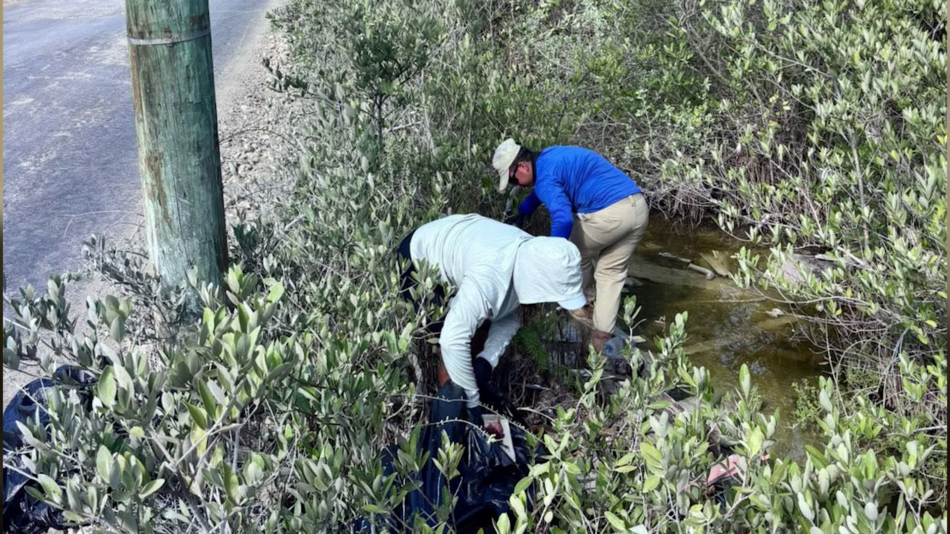
    Belize is implementing sweeping updates to its national litter management regulations, aimed at curbing rampant improper waste disposal and protecting the country’s renowned natural ecosystems, with changes set to take effect following regulatory approval. The Department of the Environment (DOE) announced the reforms, which center on three key adjustments: expanding the pool of officials authorized to issue littering citations, extending the window for ticketing offenders after an incident, and drastically increasing financial penalties for violations.

    Under the previous regulatory framework, authorized officers only had 48 hours from the moment a littering offense was observed to issue a formal ticket. Chief Environmental Officer Anthony Mai explained that this narrow timeframe created a critical loophole: violators would often avoid detection for just two days, after which legal action could no longer be taken. The amendment extends this enforcement window to 21 days, giving officers sufficient time to locate and cite offenders.

    Penalty adjustments also mark a significant shift in the country’s approach to litter enforcement. Previously, individual violators faced a $100 fine, while corporate entities paid a maximum of $500. The new rules double the fine for individuals to $200, and push corporate fines up 300% to $2,000. For non-payment of citations, the amendments also increase daily late fees from the current $10 to between $20 and $25. If fines remain unpaid after 30 days, cases will be transferred to magistrate courts, where offenders can present justifications for their actions if they choose to contest the ticket.

    In a first step toward rolling out the expanded enforcement model, nine new authorized officers have already been appointed in the Placencia area of Stann Creek District. Minister of Sustainable Development Orlando Habet formally confirmed the appointments earlier this week, with nominees selected in partnership with the Placencia Village Council. The cohort includes sitting village council members and engaged local community members, a choice designed to leverage on-the-ground knowledge of local waste issues. All appointments went through a full formal legal process, including review by the Attorney General’s Office and a two-week gazette publication before official authorization was granted.

    DOE officials emphasize that stricter enforcement is only one component of the national strategy to reduce litter. To complement regulatory changes, the department is launching a nationwide public education campaign titled “Our Belize, Our Responsibility, Bin It.” The campaign will include visible outreach measures, such as installing new trash receptacles on all public transit routes across the country and placing large-scale anti-littering billboards in high-traffic areas to change public behavior long-term.

    This reform comes as Belize, a nation heavily reliant on ecotourism, works to preserve its coastal and terrestrial natural spaces, which are core to both the national economy and local quality of life. Expanding enforcement authority to community members and local leaders is intended to create a more distributed, responsive monitoring system that can address littering in popular tourist and residential areas more effectively than a centralized team alone.

  • Nine New Officers Can Now Ticket You for Littering in Placencia

    Nine New Officers Can Now Ticket You for Littering in Placencia

    Starting this month, anyone dropping waste on the ground in the popular Belizean coastal community of Placencia faces a greater risk of receiving a formal citation, as the country’s Department of the Environment (DOE) has formally sworn in nine new officers authorized to issue on-the-spot violation tickets for littering offences.

    The rollout of these new enforcement officers is a core component of the Belizean government’s nationwide National Anti-Littering Campaign, a targeted initiative that set an ambitious measurable goal: cutting the volume of visible litter across the country’s high-priority public spaces by 30% over the next two years.

    All nine new officers received their official authorization under the framework of the Summary Jurisdiction (Littering Offences) (Violation Tickets) Regulations, the existing statutory legislation that governs litter enforcement in the country. According to a public statement released by the DOE, unaddressed littering has long remained one of the most common public infractions in Belize, and a persistent, high-priority threat to the country’s valuable natural ecosystems and tourism landscapes.

    With their new enforcement authority, the nine Placencia-based officers will strengthen the country’s ability to uphold existing anti-litter laws by issuing immediate tickets to individuals caught in the act of improper waste disposal. This first deployment in Placencia marks just the opening phase of a much broader national effort, the DOE confirmed. In the coming months, the department will roll out the same training and authorization process for new litter officers across every district of Belize, expanding enforcement coverage nationwide.

    Beyond stepping up enforcement, the DOE is also calling on both local Placencia residents and the thousands of tourists who visit the coastal community each year to take personal responsibility for proper waste disposal, and to report observed littering incidents to local authorities to support the campaign’s goals.

  • A public road through an active industrial site?

    A public road through an active industrial site?

    Nestled in the rural heart of Grenada, connected to a network of neighboring settlements including Brooklyn, Mt Dor, Concord and Cotton Bailey, Woodford has long been a community shaped by its natural landscape. For generations, local livelihoods have been rooted in agriculture, fishing, and sustainable use of the region’s abundant freshwater resources, with the area holding deep historical, cultural and environmental value. It boasts fertile agricultural lands, active fishing grounds, intact freshwater systems, and tangible remnants of its colonial plantation past. Even during Hurricane Ivan, when major public water sources became contaminated, the region’s natural streams served as a lifeline for desperate villagers, providing clean drinking water when all other options failed.

    Today, Woodford continues to support small-scale farmers, artisanal fishermen and diverse native aquatic life, from snapper to wild shrimp. But the quiet rhythm of this rural community has been upended by large-scale industrial development spearheaded by Rayneau, a private construction and industrial firm. Local activists and residents warn that if the project irreparably damages these critical natural resources, generations of locals who have built stable lives close to home will be forced to leave their communities and compete for work elsewhere. As development progresses, three urgent questions hang over the future of Woodford: What costs is the country willing to sacrifice in the name of economic progress, who will actually reap the benefits of this project, and what will be left for the generations of Woodford residents who call this place home?

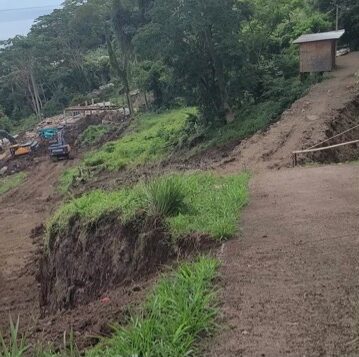
    The first major crisis of the project has already emerged: the public Mt D’Or road, which runs directly alongside Rayneau’s development site where heavy excavation and land clearing work has been carried out, has suffered three major structural collapses. The damage has cut off vehicle access to residential neighborhoods and left local farmers stranded, unable to reach their farm plots to tend crops or harvest produce. Instead of addressing the root cause of the collapses, the government of Grenada has proposed a quick-fix solution: rerouting the damaged public road directly through the active Rayneau industrial site.

    Critics argue this plan raises life-threatening safety concerns. The proposal to route regular public traffic through an operating industrial zone is unprecedented, and the risks are far from theoretical: back in 2017, a deadly explosion at a Rayneau-owned quarry in Cul-de-Sac, St Lucia killed four workers and injured more than 20 others. To date, no independent safety certification has been presented to prove the proposed route is safe for ordinary motorists, pedestrians and local residents. Key questions remain unanswered: What barriers will separate public passenger vehicles from heavy industrial trucks and ongoing works? Which entity will be responsible for ongoing maintenance of the new road? If another landslide, collision or serious injury occurs, who will be held legally liable — the government, Rayneau, or both?

    Beyond safety, there are fundamental questions about what actually caused the road collapses. Prime Minister Dickon Mitchell has attempted to downplay any connection between the road damage and Rayneau’s development work, but the three failures all occurred along the exact stretch of road where the company carried out large-scale excavation and boulder removal. Residents raised concerns about the link before any official investigation was launched, yet the government has pushed ahead with the reroute plan without waiting for results from the geotechnical investigation it commissioned. Critics are now demanding answers: What technical evidence supports the government’s claim that a new route through the adjacent industrial site is safe?

    A host of unresolved legal and planning issues also cast doubt on the proposal. If the new public road crosses land owned by Rayneau, what legal agreement grants the public permanent right of access? Is the government acquiring the land through eminent domain, establishing a legal right of way, leasing the property, or is the project relying on informal permission from the developer? Is the reroute only a temporary diversion, or will it become a permanent part of Grenada’s public road network? Under Grenada’s existing planning laws, the construction of new public roads is explicitly classified as a development activity that requires formal regulatory approval. Has the Physical Planning and Development Authority formally reviewed the proposal? Has an environmental assessment been required, or has approval already been granted? Or is the government attempting to classify the project as exempt from standard planning rules?

    Critics point out that the current crisis is the direct result of the government’s unseemly haste to push the project forward, even skipping a mandatory full Environmental Impact Assessment (EIA) for the multi-faceted industrial development — which includes a quarry, asphalt production facility, concrete plant and new jetty. During a post-Cabinet press briefing in January 2024, the prime minister publicly stated that the EIA process was moving too slowly, and that he had accepted the developer’s verbal assurance that the facility would be environmentally friendly. Critics argue that if the government had not rushed to skip the EIA, the assessment would likely have identified critical risks: whether the project was sited too close to the public road, and whether boulder removal and excavation should have been restricted given the area’s unstable topography. Now, taxpayers may be forced to foot a multi-million-dollar repair bill for the damaged road, while local residents are left wondering whether the government rushed to fix one problem, only to create a series of worse problems that officials do not know how to solve.

    Local farmers have borne the brunt of the chaos so far. With no access to their fields, harvested produce is at risk of rotting before it can reach markets, and long-established commercial relationships are in danger of being lost permanently. Farmers also report being unable to deliver seeds, fertilizer and other essential inputs to their lands. While the proposed reroute may restore some limited access, many residents say it will still not provide direct vehicle access to their homes. The government has stated it commissioned an independent engineering firm to investigate the road collapses, but critics are questioning whether the assessment will cover all three failure points and the damage that has already spread onto private property, including one resident’s severely damaged private driveway. With results from the investigation still not publicly released, why has the developer already begun clearing land for the new road?

    In a recent interview on *The Bubb Report*, Rayneau’s head Gagadhar defended the approach, arguing that sometimes progress requires “taking the risk and make it happen.” While that may be an acceptable philosophy for private business decision-making, critics say it cannot be the standard that the government uses to approve a public road that will be used by ordinary residents. One Woodford resident summed up the growing fear in the community: “Our road is now on Rayneau property; our homes will follow.” If not for the very real harm the crisis has inflicted on residents, the situation would be almost absurd.

    Mandatory EIAs exist for a reason: to identify unforeseen risks before projects break ground, protecting communities and preventing costly future damage. Now, Grenada may be forced to spend millions of dollars repairing damage that could have been avoided, and Woodford’s residents are left waiting, wondering if this safety crisis is only the first of many to come.

  • COE and geologist Osiris de León Discuss Dominican Republic’s earthquake preparedness

    COE and geologist Osiris de León Discuss Dominican Republic’s earthquake preparedness

    In a strategic move to shore up the Dominican Republic’s ability to withstand major seismic events, the head of the country’s Emergency Operations Center (COE) gathered Thursday for a high-stakes working meeting with one of the nation’s leading earth science and environmental experts.

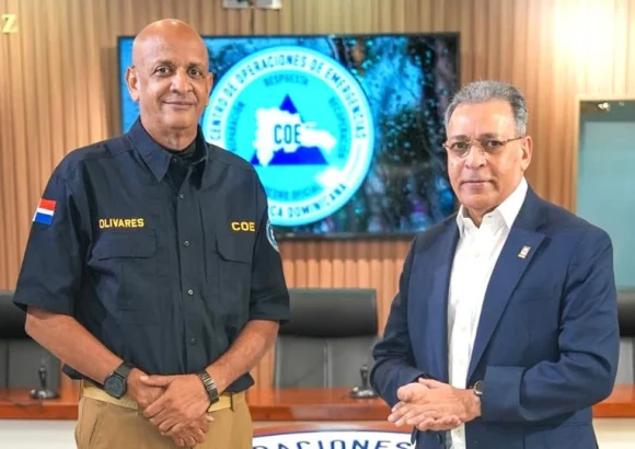
    Colonel CB Erdwin R. Olivares Luciano, COE director, sat down with Osiris de León, a prominent Dominican geologist and environmental advocate, to unpack the evolving landscape of seismic risk across the country and evaluate gaps in current disaster readiness frameworks.

    The closed-door working session centered on three core priorities: mapping the current state of seismic activity across Dominican territory, outlining plausible worst-case risk scenarios for populated and high-infrastructure areas, and extracting actionable lessons from past destructive earthquakes that have struck both the Dominican Republic and other seismic zones around the globe.

    During the meeting, Olivares Luciano laid out the core guiding principles of the country’s official National Earthquake Contingency Plan. This comprehensive strategy is designed to systematically boost pre-disaster preparedness across all levels of governance, streamline inter-institutional coordination when disaster strikes, and scale up the nation’s overall response capacity to handle a catastrophic high-magnitude earthquake.

    The COE director stressed a key, often overlooked, truth about disaster readiness: earthquake preparedness is not a responsibility that falls solely to national government bodies. Instead, it requires collective buy-in and action from a wide range of stakeholders, including local municipal authorities, private sector businesses, grassroots community organizations, and every individual member of the public.

    To that end, Olivares Luciano issued a clear public call for individual and family-level action, urging all households across the country to develop customized home emergency plans, pre-identify local evacuation routes and earthquake-safe spaces within their homes and neighborhoods, and maintain a fully stocked kit of essential emergency supplies to cover basic needs in the critical first 72 hours following a disaster, when response teams may still be deploying to affected areas.

    In an official statement released following the meeting, the COE confirmed its long-term commitment to ongoing collaboration with scientific and technical experts. The agency will continue to foster open technical dialogue and cross-sector cooperation to build a widespread culture of disaster prevention across the Dominican Republic, with the ultimate goal of safeguarding the lives and personal safety of all Dominican citizens.

  • Barbados seeks stronger climate reporting systems

    Barbados seeks stronger climate reporting systems

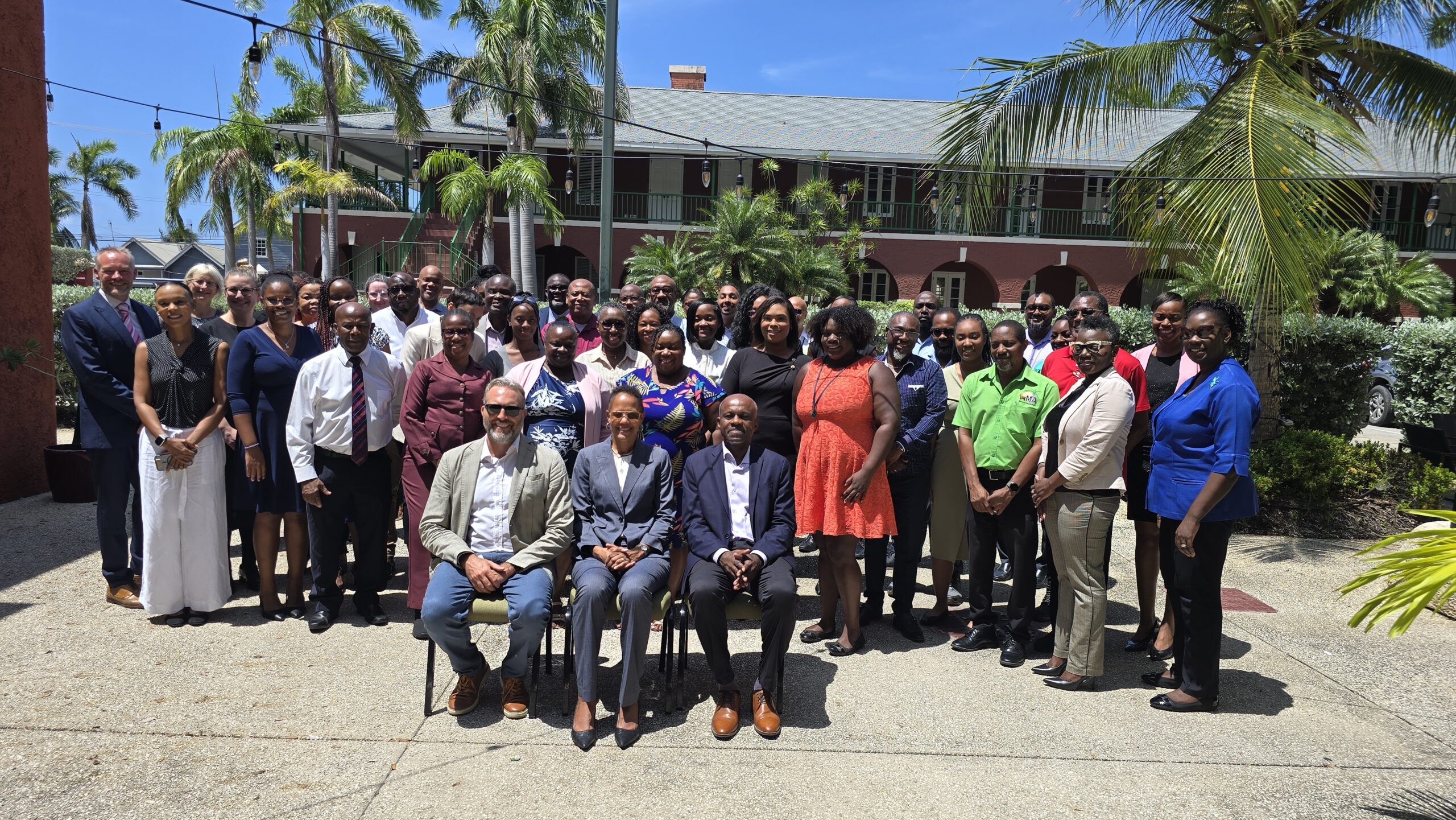
    Against a backdrop of accelerating climate impacts already reshaping Caribbean nations, Barbados has made strengthening climate measurement and transparency systems a top national priority, with senior officials framing the effort as critical to unlocking much-needed international climate funding. Deputy Prime Minister and Minister of Environment Santia Bradshaw outlined the country’s strategic goals during an inception workshop and first formal consultation round for the Global Environment Facility (GEF) Capacity Building Initiative for Transparency (CBIT) project, which brought together key environmental agencies to build institutional and technical capacity for climate action.

    Bradshaw emphasized that transparency in climate action is not just a reporting requirement under the Paris Agreement — the landmark legally binding global climate treaty — but a core strategic advantage for the island nation. “Put simply, what we cannot measure and what we cannot properly manage and what we cannot demonstrate, we will find increasingly difficult to finance,” she told attendees of the gathering. For small island developing states like Barbados, where climate change is already an immediate, lived reality rather than a distant hypothetical, robust data systems are foundational to advancing climate goals.

    Unlike many larger economies that can treat climate change as a long-term policy challenge, Bradshaw noted that the crisis is already reshaping daily life across Barbados. It is damaging coastal infrastructure, straining freshwater supplies, disrupting national food systems, threatening key economic sectors, and eroding future opportunities for local communities. As such, the work of building stronger transparency frameworks goes far beyond meeting international reporting obligations: it is about fundamentally improving how Barbados governs its climate response, tracks national progress, and makes evidence-based policy decisions that benefit all residents.

    Barbados has already laid out its formal climate commitments under the Paris Agreement, which requires all signatory nations to outline and update their voluntary national climate targets, called nationally determined contributions (NDCs). The country has submitted its second NDC, reaffirming its commitment to limiting global warming to the 1.5°C threshold outlined in international agreements and setting a target to cut absolute greenhouse gas emissions 45% below 2008 levels by 2035. To turn these commitments into action and attract the international funding needed to implement them, Bradshaw said clear evidence of results is non-negotiable. If Barbados is to call on the global community to increase climate finance commitments, it must first demonstrate its own progress and accountability for funds it already receives.

    The CBIT project, which carries a total budget of $1.25 million U.S. (equivalent to Bds$2.5 million), is being implemented in partnership with the Inter-American Development Bank (IDB) as the executing agency. Its core mandate is to build out the full suite of systems Barbados needs to measure, verify, report on, and demonstrate the impact of its climate actions across every sector. For example, if the country invests in climate-resilient agricultural practices, officials need data to prove those investments are delivering results; if it expands renewable energy and clean technology, it must quantify resulting emission reductions; and if it protects vulnerable natural ecosystems, it has to document the tangible environmental benefits those protections deliver.

    A key pillar of the effort is breaking down institutional silos across government, Bradshaw stressed. Climate change touches every aspect of national development, from energy and agriculture to infrastructure and public health, so transparency cannot be the sole responsibility of any single ministry. Instead, it requires a whole-of-government, whole-of-country approach that brings all stakeholder agencies together around shared climate goals. Strengthened coordinated transparency systems will not only meet international requirements but also standardize data collection processes, improve quality assurance, cut down on duplicative work, and create a stronger foundation for evidence-based policy across all levels of government.

    Ultimately, Bradshaw emphasized, the work of collecting and analyzing climate data is not just about tracking carbon tons or meeting reporting deadlines — it is about improving the lives of all Barbadians. Climate policy shapes family well-being, protects livelihoods, supports local business, safeguards food and national security, and builds prosperity for coming generations. For Barbados, which has been a leading voice in international advocacy for greater climate finance for vulnerable small island developing states, strong domestic systems are the necessary complement to global calls for action.

    Francesco De Simone, IDB Chief of Operations for Barbados, confirmed that the project will support the development and rollout of a national monitoring, reporting, and verification system aligned with Barbados’ NDC commitments, forming a foundational anchor for other IDB-supported climate initiatives. The work aligns closely with the IDB’s country strategy for Barbados, which prioritizes building national climate resilience, and De Simone echoed Bradshaw’s call for close coordination across government agencies and stakeholders to maximize synergies and ensure efficient use of project resources.

    Closing the consultation, Bradshaw encouraged all participating stakeholders to bring forward constructive feedback and take ownership of their specific roles in the project. She framed the CBIT initiative as a unique opportunity to strengthen Barbados’ international credibility, ensuring that its ambitious climate commitments are backed by solid evidence and measurable, verifiable results that can attract the international funding needed to turn climate goals into real action.

  • New Ocean-Monitoring Buoy Deployed Between Antigua and Barbuda

    New Ocean-Monitoring Buoy Deployed Between Antigua and Barbuda

    As the Atlantic basin enters its annual peak hurricane season, Antigua and Barbuda has taken a major step forward to boost its ocean observation infrastructure and regional climate adaptation efforts by joining a growing cross-Caribbean marine monitoring network. The Caribbean Institute for Meteorology and Hydrology (CIMH), which is leading the construction of the coordinated observation network across member states of the Caribbean Meteorological Organization, has now installed three new observation platforms in Antigua and Barbuda waters.

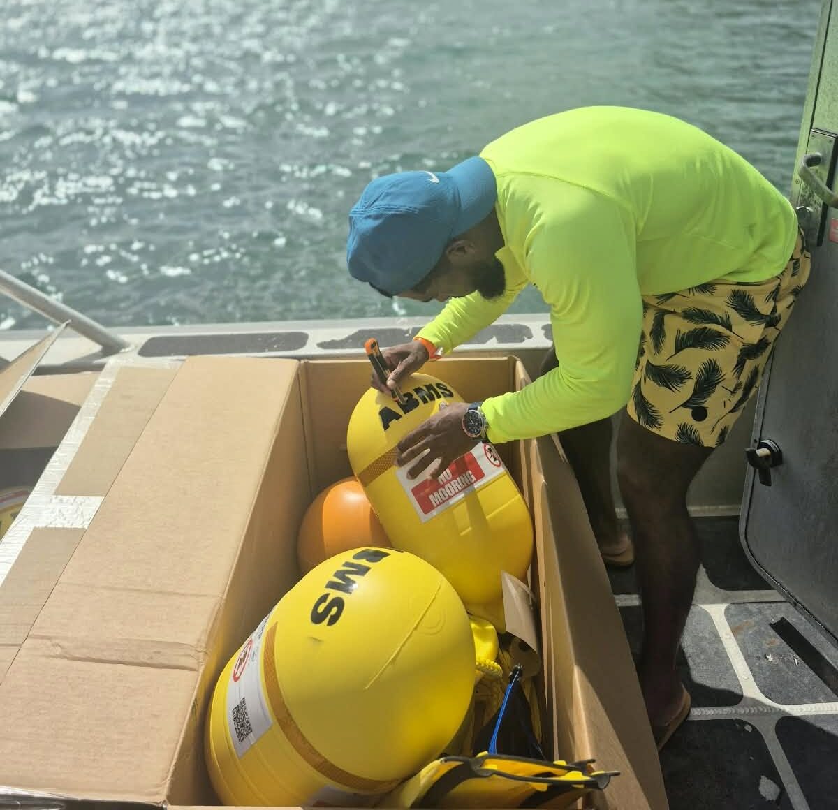
    On Tuesday, national authorities took delivery of three SOFAR Spotter Buoy ocean data collection stations. One of the high-tech buoys was deployed immediately, with the remaining two scheduled to enter operation just two days later on Thursday. This initial deployment marks the third finished installation of buoys as part of the regional network initiative.

    The newly established network combines the tracking capabilities of SOFAR Spotter Buoys and smart mooring technology to capture and send near real-time data on a wide range of critical marine conditions, including wave heights, swell behavior, and other key oceanographic parameters that shape regional weather and coastal safety. This continuous flow of standardized data will deliver far-reaching benefits across multiple sectors across the Caribbean: it will enable more accurate marine weather forecasts and more reliable early warning systems for hazardous conditions, directly improving maritime navigation safety, supporting sustainable fisheries management, strengthening coastal tourism infrastructure protection, refining national coastal zone management strategies, boosting overall disaster preparedness, and lifting long-term climate resilience across vulnerable small island developing states in the region.

    Beyond immediate operational benefits, the standardized data collected through the network will also allow CIMH’s Regional Marine Forecast Support Centre to refine and improve the accuracy of regional marine forecast models, closing critical gaps in current oceanographic understanding for the Caribbean basin. The deployment project brought together a cross-institutional partnership, including the Antigua and Barbuda Meteorological Service, the national Fisheries Division, the Antigua and Barbuda Defence Force Coast Guard, and CIMH’s Regional Instruments Centre, demonstrating coordinated cross-sector action to address shared climate and disaster risks.

    This expanding monitoring network is a core component of the Strengthening Institutional Capacity for a Resilient Caribbean Coastal and Marine Environment Project, widely known by its acronym RCCAME. The initiative receives financial and programmatic support from the Caribbean Development Bank through the Caribbean Regional Resilience Enhancement (CARE) Programme, with core funding allocated from the European Union’s 11th European Development Fund, designed to support climate adaptation and environmental resilience in small island developing states across the Caribbean.

  • Dogs And Cats Of Antigua Wins US$50,000 GEF Funding For Community Dog Park

    Dogs And Cats Of Antigua Wins US$50,000 GEF Funding For Community Dog Park

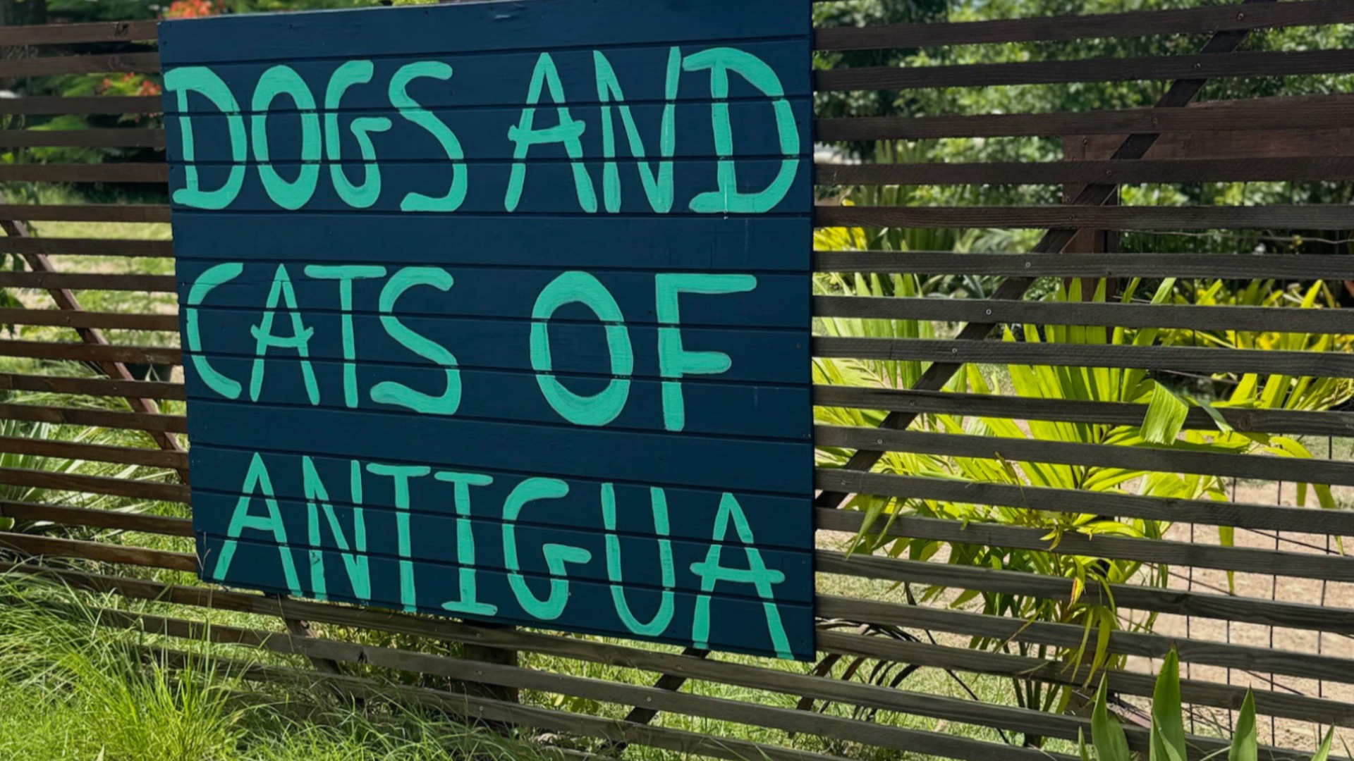
    Dogs and Cats of Antigua Inc. (DACOA), a leading non-profit animal welfare organization operating in Antigua and Barbuda since 2015, has secured a $50,000 grant from the Global Environment Facility (GEF) Small Grants Programme to develop the nation’s first purpose-built Community Dog Park at its existing Rescue and Wellness Sanctuary in Sea View Farm.

    The initiative marks a groundbreaking intersection of animal welfare, community engagement and climate-positive action, transforming underused land at the rescue sanctuary into an inclusive public green space that prioritizes both human and environmental wellbeing. Beyond providing a dedicated area for community members to gather with their dogs, the project integrates a suite of forward-thinking environmental programs: a full rainwater harvesting and irrigation system to reduce freshwater reliance, a collaborative tree-planting project involving students from four local primary and secondary schools, and a first-of-its-kind pilot program to turn dog waste into nutrient-rich compost, diverting organic waste from local landfills.

    Joy Farrell, President of DACOA, emphasized the transformative potential of the grant in an official statement, noting: “We are thrilled and honoured to receive this funding. It opens an incredible door to build something that delivers shared benefits for people, animals and the local environment.”

    Farrell went on to outline the multiple layers of impact the project will deliver: “Beyond conserving water through our harvesting system, the fruit trees we plant will create a long-term source of food and supplementary income for the sanctuary, and our compost pilot will keep dog waste out of landfills where it would release methane. We are especially excited to deepen our partnership with local schools, giving young people hands-on learning opportunities about environmental sustainability and animal welfare that they can carry with them throughout their lives.”

    DACOA’s core long-term vision for the sanctuary is to set a new regional benchmark for animal welfare in the Caribbean, proving that high-quality care for animals and intentional environmental stewardship can not only coexist, but reinforce one another. Founded in 2015, the organization has already rehomed more than 7,000 vulnerable stray dogs and cats across local and international communities, provides weekly food support to 1,200 stray animals, and cares for more than 150 resident dogs at its Sea View Farm sanctuary. Prior to this grant, the organization had already implemented early environmental upgrades at the site, planting more than 500 native fruit and flowering trees, constructing wildlife-friendly ponds, and building a public dog-walking circuit that draws hundreds of visitors and volunteers annually.

    Natalya Lawrence, National Coordinator for the GEF Small Grants Programme in Antigua and Barbuda, praised the project for its innovative, multi-benefit design. “The GEF Small Grants Programme is proud to support DACOA in delivering this one-of-a-kind green space for Antigua and Barbuda,” Lawrence said. “This project weaves together environmental action, youth engagement, water conservation, responsible waste management, community health and animal welfare into a single initiative. It is a perfect example of how local, community-led action can develop practical, replicable solutions that deliver long-lasting environmental and social benefits.”

    The GEF Small Grants Programme operates globally, providing both financial and technical support to community-based and civil society organizations tackling pressing global environmental and sustainable development challenges. Its focus areas include biodiversity protection, climate change mitigation and adaptation, land degradation reversal, sustainable forest management, protection of international waters, and improved chemicals and waste management. The program prioritizes projects that deliver inclusive benefits to marginalized groups, including youth, women, people with disabilities, and Indigenous communities.

    For DACOA, the new Community Dog Park is a critical step toward achieving the organization’s long-term goal of transforming the Sea View Farm sanctuary into a fully self-sustaining, environmentally responsible public destination. The project will build on the sanctuary’s existing community engagement work to create a permanent public asset that connects animal welfare, environmental education, sustainability action and community connection in one accessible space.

  • Guinea Grass Dreams Shattered at El Pozito

    Guinea Grass Dreams Shattered at El Pozito

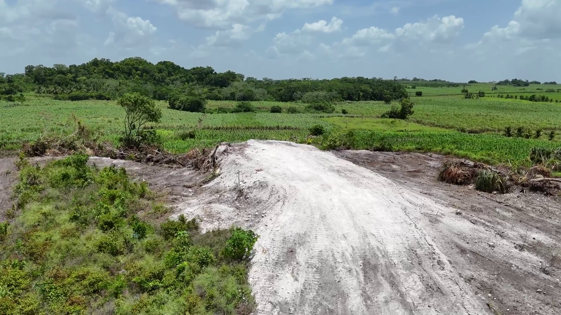
    On the northern edge of Belize, just a short distance from Guinea Grass Village, lies El Pozito — an archaeological site holding irreplaceable remnants of the ancient Maya civilization that once dominated this region. For years, the tight-knit agricultural community of Guinea Grass pinned substantial hopes on this patch of land, envisioning a future where conservation of the site would unlock sustainable economic opportunity, much like it had for neighboring communities with well-preserved heritage sites. That vision has been completely destroyed, leaving residents reeling from shock and anger as authorities launch an investigation to identify those responsible for the damage.

    Guinea Grass Village Chairman Benito Uk explained that the harm to El Pozito was discovered earlier this month by a team of archaeological researchers conducting routine site checks. The site sits surrounded by sugarcane fields, with a recently sold nearby parcel of land owned by Mennonite farmers adding to the context of ongoing land activity in the area. What makes the destruction even more devastating for locals is that just one month prior, stakeholders including representatives from Belize’s Institute of Archaeology and a research team from the College of East Texas had gathered with villagers to outline a development plan. The proposal laid out how proper preservation and sustainable tourism development at El Pozito would deliver long-term benefits to the entire community, creating new jobs and alternative income streams beyond the village’s traditional reliance on agriculture.

    The potential of this vision was already proven just a short distance away at the Lamanai archaeological reserve, managed by the Programme for Belize. Edilberto Romero, the organization’s executive director, noted that the Lamanai model demonstrates how protected heritage sites can transform local economies. Each year, the reserve injects more than $1 million into surrounding communities through employment, tourism revenue, scholarship programs, and sustainable timber operations. Most of the reserve’s staff are hired directly from nearby villages, creating a cycle of shared benefit that has lifted livelihoods while preserving cultural heritage. That same opportunity was expected to come to Guinea Grass through El Pozito — until the destruction.

    Beyond economic loss, the damage to El Pozito represents a profound cultural blow to all Belizeans. The Northern Maya Association of Belize released an official statement Wednesday condemning the destruction, emphasizing that El Pozito is far more than a collection of ancient ruins: it is a living connection to Maya ancestors, a critical educational resource for future generations, and a core part of the shared national cultural inheritance of all Belize. Uk stressed that the destruction was no innocent accident. The site is clearly marked as protected crown land reserved for archaeological use, and every resident of the area has long been aware of its protected status. “Those responsible did not just damage rocks and old structures,” Uk said. “They robbed an entire community of its future.”

    Uk is calling on local residents to come forward with any information that could help law enforcement identify and hold accountable those responsible. The case also shines a light on longstanding systemic vulnerabilities that put Belize’s cultural heritage at risk. For years, conservation advocates have pushed for stronger protections for El Pozito, but successive governments have transferred surrounding land parcels to political supporters in Guinea Grass and nearby August Pine Ridge, leaving the core archaeological site exposed to incremental encroachment and damage.

    This report was compiled by Shane Williams, News Five, from northern Belize.

  • Turneffe Treasure Secured for Future Generations

    Turneffe Treasure Secured for Future Generations

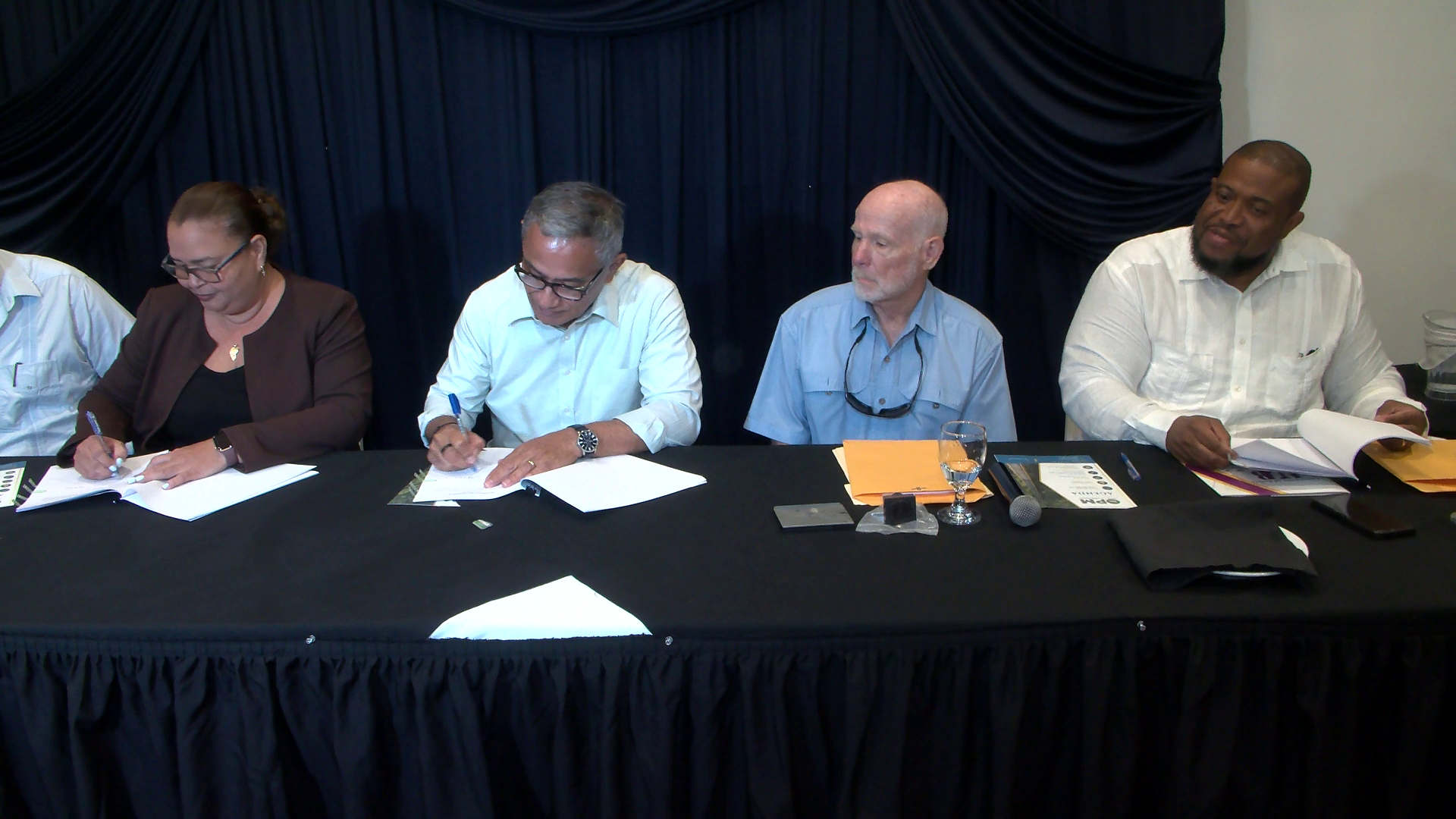
    On August 19, 2026, Belize marked a historic milestone in marine conservation with the signing of a landmark agreement that permanently protects 17,000 acres of ecologically critical mangrove habitat at Turneffe Atoll, keeping the iconic coastal ecosystem in Belizean stewardship for all future generations.

    The agreement was formalized between Belize’s Ministry of Blue Economy and the Turneffe Atoll Sustainability Association (TASA), closing years of negotiations and resolving outstanding legal gaps that delayed the project after an initial framework was established by the previous administration. Prime Minister John Briceño noted that while the prior government initiated the protection deal, hasty drafting left multiple legal issues that required correction before the pact could be finalized.

    A key secondary component of the partnership repurposes a $2.2 million land deposit previously made by the Turneffe Atoll Trust to fund the construction of a state-of-the-art marine research center for the University of Belize, hosted within the protected atoll. Originally held in an external trust fund, the capital has since been transferred to a Belizean-owned and managed trust, with stakeholders agreeing that redirecting the funds toward research and capacity building would deliver far greater long-term value than a refund. Briceño called the outcome a clear win-win for all parties involved.

    Beyond core conservation goals, TASA Executive Director Valdemar Andrade highlighted emerging economic opportunities tied to the permanent protection of Turneffe Atoll’s intact ecosystem. Andrade explained that the preserved mangrove habitat, a critical global carbon sink and biodiversity hotspot, opens new pathways for Belize to generate sustainable revenue through blue carbon credits and biodiversity credits, adding a new stream of economic value that complements existing benefits from commercial fishing, local tourism and recreational activity in the atoll.

    All conservation and research initiatives outlined in the agreement went into effect immediately following the official signing, cementing Turneffe Atoll’s status as one of Belize’s most well-protected marine assets.