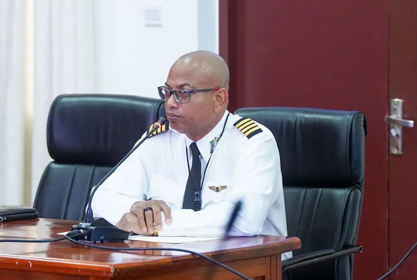
In testimony delivered this week to the official Commission of Inquiry probing the MV Barima ferry disaster, lead search pilot Captain Learie Barclay has laid out a step-by-step account of how his team pinpointed the general area of the sunken vessel just hours after its distress beacon activated.
The timeline Barclay shared confirms that the entire search operation to locate the sunken ferry was completed within three hours and 26 minutes of the vessel’s Emergency Position-Indicating Radio Beacon (EPIRB) first sending a distress signal that was picked up by global satellite networks and routed to the control tower at Guyana’s Cheddi Jagan International Airport.
Barclay, a retired pilot with the Guyana Defence Force, explained that he was alerted to the emergency at 12:16 AM by Captain Gerry Gouveia Sr. Leaving his home in the capital city of Georgetown immediately, he arrived at Eugene F. Correia International Airport, where he joined fellow pilot Captain Gerry Gouveia Jr and Roraima Airways spotter Mr. Cheung. The team departed for the search zone at 1:36 AM, carrying coordinates provided by the national aeronautical information system centre.
Once in the target search area, Barclay adjusted his on-board radio receiver to 1.5 megahertz, the standard frequency for marine emergency location signals. He told the inquiry that the signal grew progressively stronger as the aircraft moved closer to the ferry’s actual position. At 2:09 AM, Cheung, the assigned spotter, spotted three emergency flares fired from the water below. “The signal was strongest at the exact point where the flares were launched,” Barclay testified. He added that prior to spotting the flares, the team had not spotted the wrecked vessel itself, but the presence of flares provided unambiguous confirmation that this was the correct location.
“As an international symbol of distress, flares are one of the core components of any marine survival kit. If a plane or boat goes down, survivors will fire flares to mark their location, that is standard operating procedure,” Barclay explained in response to questioning from Commission of Inquiry counsel Arudranauth Gossai.
Barclay went on to reveal that the position marked by the EPIRB signal and the flares was three nautical miles further offshore than the original coordinates provided by the control tower’s AIS centre. He told the inquiry this discrepancy was most likely caused by the vessel drifting after it began taking on water. He also noted that the location of the flares was roughly 4.9 nautical miles from where the MV Barima wreckage was ultimately recovered.
The search pilot also clarified the limitations of his search mission: his aircraft was not fitted with advanced detection technology such as forward-looking infrared (FLIR) cameras that would have allowed the team to detect body heat from survivors floating or clinging to debris in the dark water. At night, he explained, the only detectable distress signal the team could pick up were the visual flares.
Once the position was confirmed, Barclay’s team relayed the coordinates to multiple relevant authorities, including Guyana’s Maritime Administration, President Irfaan Ali, and National Security Adviser Gerry Gouveia Sr. On the flight back to Eugene F. Correia International Airport, the team received word that rescue operations to pull survivors from the water were already underway.
Barclay’s testimony adds key context to earlier statements provided by on-duty air traffic control personnel on Wednesday. Controllers confirmed that the initial EPIRB signal was first received at 10:43 PM on July 19, the night of the disaster, but they also revealed a critical gap in safety protocols: the EPIRB unit installed on the MV Barima was never registered with official marine authorities, meaning it did not include basic identifying information such as the vessel owner’s name, contact details, or official address.