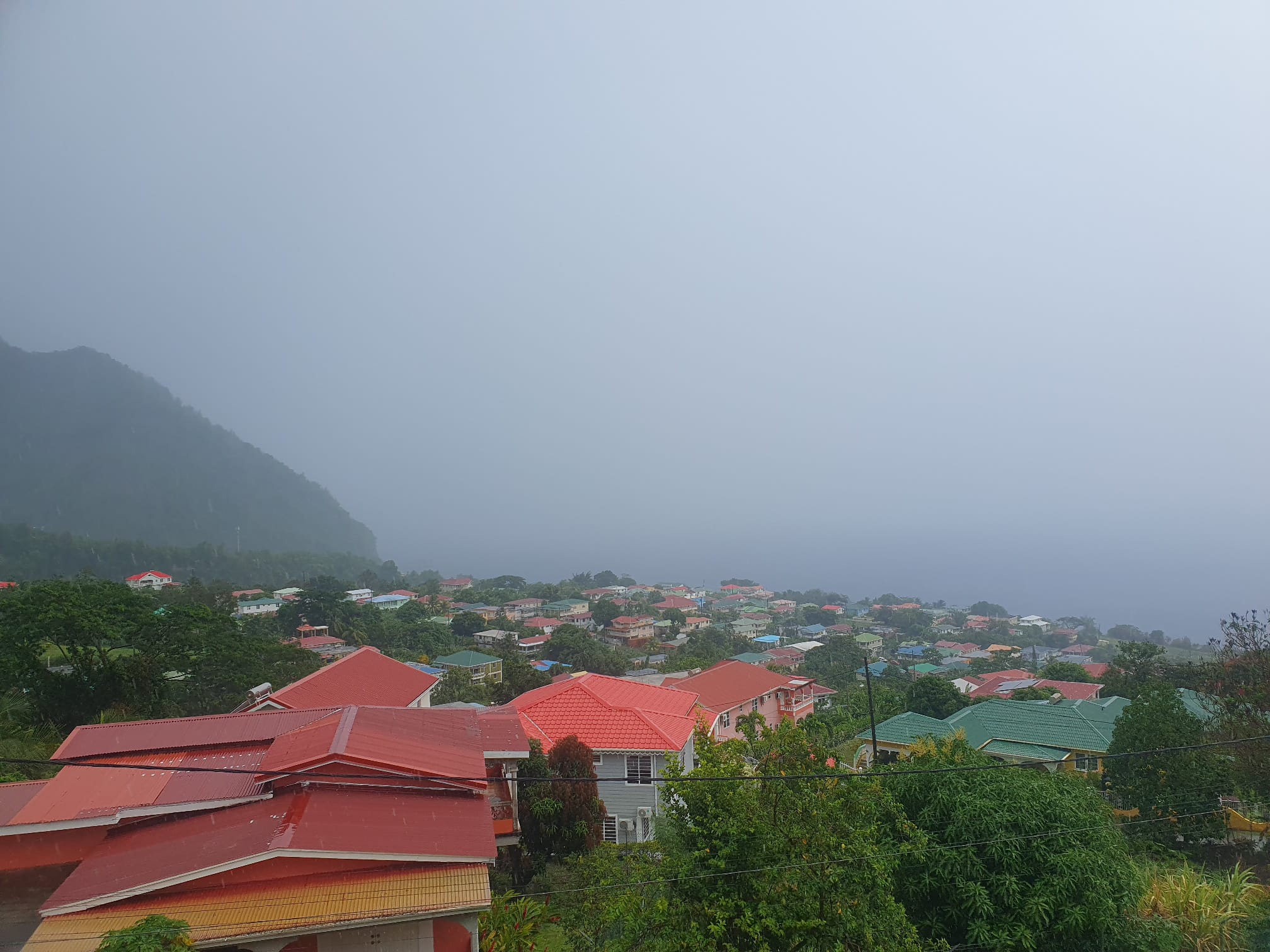
Meteorological agencies have issued a multi-hazard weather warning for the Caribbean region, as a combination of a passing tropical wave, a surge of Saharan dust, and building seas are set to bring disruptive and potentially dangerous conditions through the weekend. The ongoing tropical wave, which is expected to maintain its influence over the area through tonight, will bring widespread overcast skies, scattered rain showers, and a chance of isolated intense thunderstorm activity. Local authorities are urging residents in low-lying flood-prone zones and steep terrain areas at risk of landslides and rockfalls to stay vigilant and prepare for potential emergency events. Wind speeds are also projected to climb through tonight and remain elevated through the weekend, with higher elevation mountainous regions facing the greatest risk of stronger gusts.
Beginning this evening, atmospheric concentrations of Saharan dust will begin to rise, with the hazy conditions expected to persist through Saturday morning. This dust surge will degrade air quality to moderate or poor levels and cut down horizontal visibility across the affected area. Health officials are reminding vulnerable groups — including people living with asthma, seasonal allergy sufferers, and anyone with pre-existing sensitivity to fine particulate dust — to continue taking all recommended protective measures, such as limiting prolonged outdoor exposure. For maritime operations, reduced visibility from dust requires all vessels to carry fully functional navigational equipment to avoid accidents at sea.
Sea conditions are also worsening across the region over the coming 24 hours. Forecasters predict slight to moderate swells initially, with west coast waves topping out at 3 feet and east coast waves reaching up to 7 feet. By tonight, those swells are set to build to 5 feet along the west coast and 8 feet along the east coast. Operators of small vessels and recreational sea bathers have been warned to avoid unnecessary travel and water activities due to the unsafe conditions.
Beyond the immediate weather event, the U.S. National Hurricane Center is actively tracking two additional tropical waves moving across the eastern Atlantic. The first of these waves has a high probability of organizing into a stronger tropical system over the next seven days as it tracks west to west-northwest, and it is projected to reach the broader Caribbean region by the weekend. Authorities across the Lesser Antilles have advised local populations and interest groups to closely track updates on the wave’s trajectory. For mariners operating near Dominica, officials stress the importance of checking regular weather updates throughout the week, as sea conditions are expected to begin deteriorating by Thursday and could decline further through the weekend.
In a separate update on Atlantic tropical activity, Tropical Storm Christobal has formed in the north-central Atlantic, but forecasters confirm it currently poses no threat to the Caribbean region covered by the current warning.