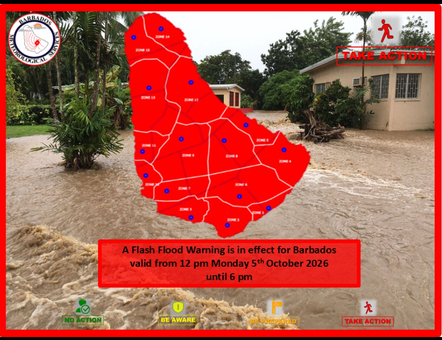
A tropical weather system has triggered a state of heightened risk across Barbados, pushing national meteorological authorities to issue an official Flash Flood Warning as torrential downpours sweep across the Caribbean island. As of the latest update from the Barbados Meteorological Services (BMS), accumulations of 35 millimeters of rain have already been recorded in hard-hit northern areas, where the island’s already moisture-saturated soil has drastically amplified the threat of sudden, fast-moving flooding. The BMS confirmed in its revised weather bulletin that the active tropical wave driving the extreme precipitation has spawned concentrated bands of intense rainfall across the island’s northern parishes, with that 35mm accumulation falling over a remarkably short window. With the tropical wave set to maintain its influence on Barbados through the coming hours, forecasters say additional rainfall is unavoidable, and the oversaturated ground cannot absorb any more water — making flash flooding not just a possibility, but a high-probability outcome. The first wave of extreme downpours targeted the parishes of St Peter and St Lucy in late Monday morning, and the system is projected to bring wet conditions to every corner of the island in the hours ahead. According to the BMS forecast, rain and storm activity will gradually spread across the entire island through Monday afternoon and into the overnight period. Given the already saturated ground conditions that leave no capacity for additional moisture, BMS officials determined that further precipitation would almost certainly trigger sudden flash flooding, leading the agency to upgrade its earlier Flash Flood Watch to a full Flash Flood Warning for Monday afternoon. A lower-level Flash Flood Watch will remain in place for the overnight hours to cover lingering flood risks after the initial warning period. Forecasters have outlined a range of dangerous hazards that residents and travelers should prepare for, including inundated roadways, rapid water runoff, hillside erosion, and fast-moving flood currents that can render many routes completely impassable. The BMS detailed the full scope of expected impacts: runoff cascading from higher elevations that picks up speed and debris; increased soil erosion on areas with exposed or cleared land surfaces; standing water pooling on public roads and agricultural fields; rising water levels in existing natural and man-made water bodies such as ponds; debris and large objects washed downhill being swept into fast-moving flood currents; flooding along low-elevation hillside bases and coastal roadway corridors; and widespread travel disruptions that will leave many roads blocked or entirely cut off, particularly in and around smaller towns across the island. The agency is urging residents to follow official guidance, avoid flooded areas, and remain alert for updated weather and safety information as the storm system progresses.