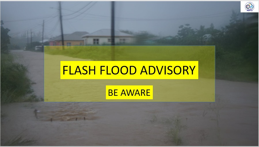
On the evening of September 16, the national Meteorological Services of Antigua and Barbuda issued an official flash flood advisory that will remain active from 5 p.m. through 8 p.m. local time, putting the island nation on alert for potential low-level flooding across vulnerable geographic zones. Meteorological forecasters attribute the adverse weather conditions to an active tropical wave, which has brought increased atmospheric moisture and instability across the broader Leeward Islands region. These conditions have spawned repeated rounds of intense downpours that are projected to persist through the rest of the evening. According to the official advisory statement, natural watercourses including small streams and creeks, along with urban drainage systems, are at high risk of rising water levels and potential overflow onto public streets and other low-lying, flood-prone areas. While officials have cautioned residents and travelers to remain vigilant, they also noted that any structural or property damage from the expected flooding is forecast to be limited in scope. Traffic and public safety officials have issued clear guidance for motorists navigating the affected regions: all drivers are reminded to practice extra defensive driving, particularly during moderate to heavy rain events that can sharply cut down on road visibility. Most critically, authorities have issued a strong warning against attempting to cross roadways that are already submerged by floodwaters, a common cause of weather-related injuries during flash flood events. The Antigua and Barbuda Meteorological Services confirmed that it will maintain continuous monitoring of evolving weather conditions across the islands, and will issue updated public statements and revised advisories should conditions change unexpectedly. In the meantime, residents are encouraged to stay tuned to local radio and television broadcasts to receive the latest official updates as the event unfolds.
Flash Flood Advisory Issued for Antigua and Barbuda Until 8 p.m.