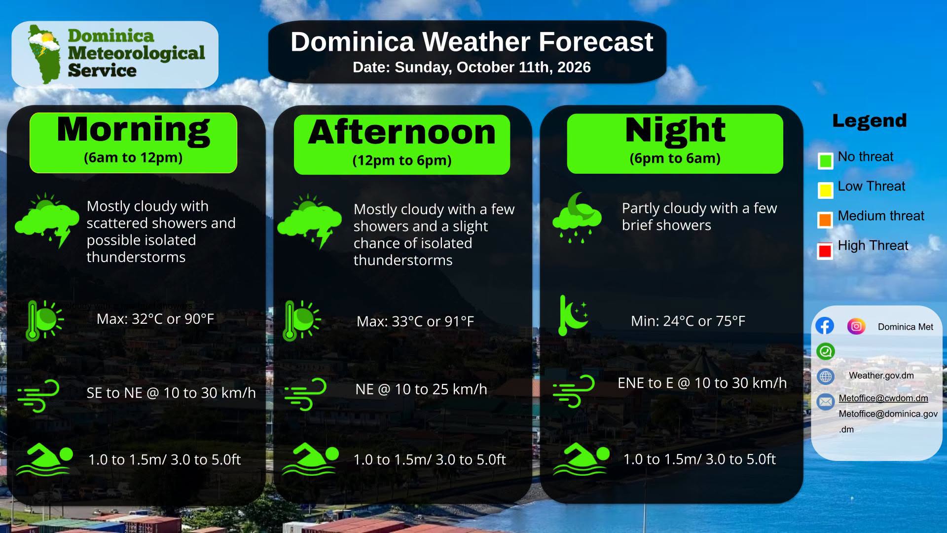
The Dominica Meteorological Service has released an official forecast update, alerting residents to unsettled atmospheric conditions driven by a mid- to upper-level trough moving across the island nation. According to the advisory, the trough is expected to bring widespread overcast conditions to the entire area through the forecast period, with intermittent periods of rain that can reach moderate intensity at peak times.
Forecasters note that isolated thunderstorms are a distinct possibility, with the highest likelihood of these stronger storm cells occurring during morning hours. In response to the expected rainfall, authorities are urging heightened vigilance among residents living in topographically vulnerable zones, which are prone to flooding, landslides, and falling rock events. These areas have been flagged for extra precaution, as saturated ground can quickly lead to hazardous conditions even with moderate rainfall accumulations.
After the initial period of unsettled weather, the forecast calls for a gradual reduction in shower activity, with conditions expected to stabilize as the trough moves away from the region. Alongside the on-land weather outlook, the service also released an update on marine conditions across the island. Overall, seas across Dominica’s coastlines are expected to range from slight to moderate, with variation between the west and east coasts. On the calmer west coast, wave heights are projected to hover around 3 feet, while the more exposed east coast will see higher swells approaching 5 feet.