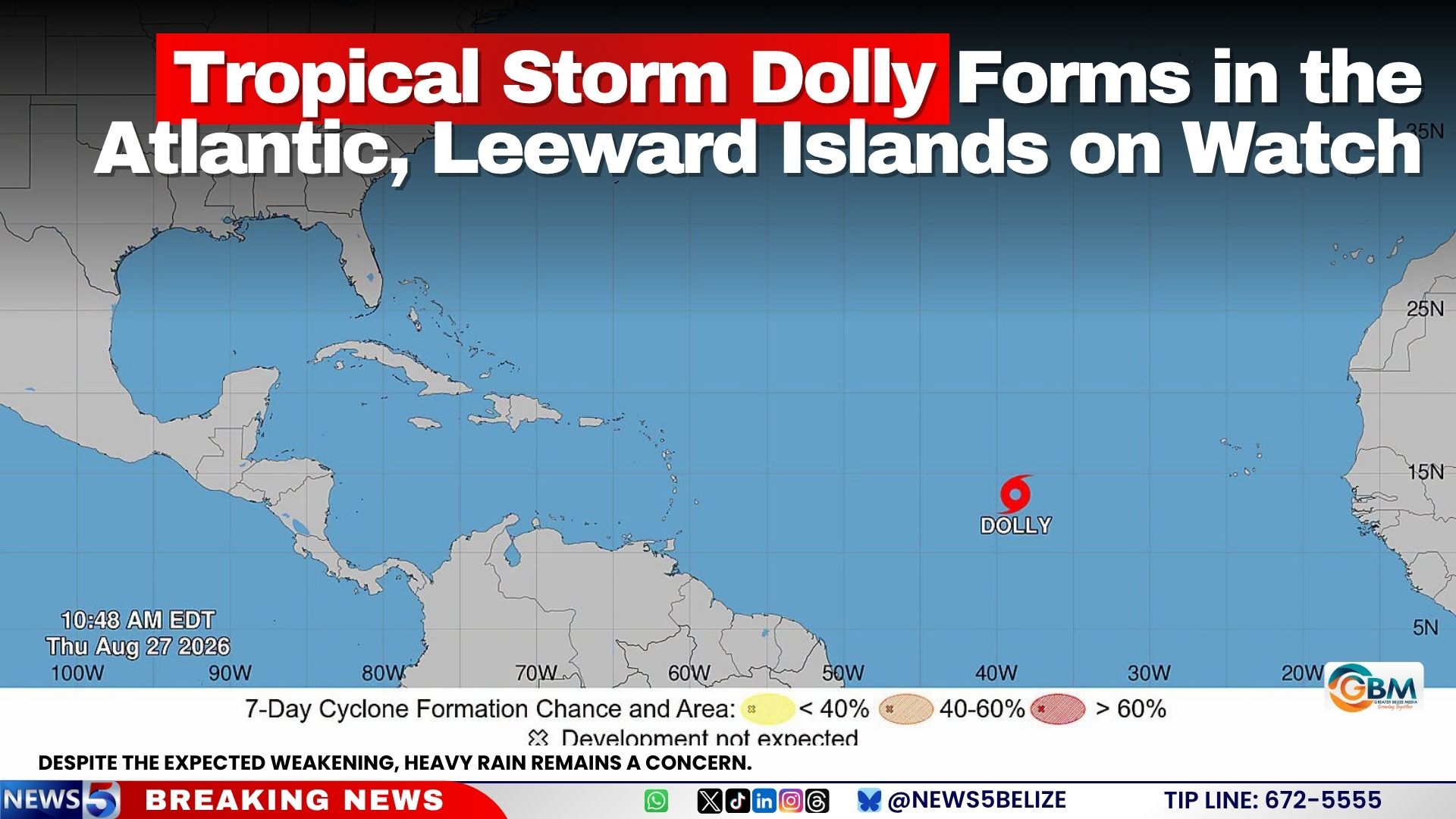
A new tropical cyclone, named Dolly, has officially developed in the central basin of the tropical Atlantic Ocean, triggering official weather watches for populations and authorities across the Leeward Islands. Regional meteorological services have urged local stakeholders to keep close track of the storm’s trajectory as it moves across the open ocean toward the Caribbean island chain.
As of 11:00 a.m. Atlantic Standard Time on August 27, 2026, the center of Tropical Storm Dolly was positioned approximately 1,555 miles east of the Leeward Islands. The system is currently progressing westward at a forward speed of nearly 24 miles per hour, a steady movement that forecasters project will persist for the next 48 to 72 hours. On its current path, the remnants of Dolly are expected to approach the Leeward Islands by the end of this weekend.
At present, the storm’s maximum sustained winds measure around 40 miles per hour, with occasional gusts reaching higher speeds. Meteorological analysis suggests only minimal intensification is likely over the next two days. In fact, the National Hurricane Center’s forecast indicates that Dolly will most likely degrade into an open tropical wave before it reaches the Leeward Islands.
Even though significant weakening is anticipated before the system reaches populated Caribbean territories, weather officials still warn that heavy precipitation poses a major hazard. Rainfall associated with the decaying system is forecast to begin impacting the Leeward Islands between late Saturday and early Sunday. By Sunday and Monday, the wet weather will extend to the nearby Virgin Islands, Puerto Rico, and Hispaniola. Forecasters note that the heavy downpours could trigger dangerous flash flooding, especially in hilly and mountainous areas with higher elevation, where runoff accumulates rapidly.