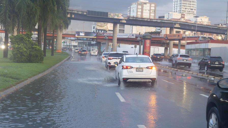
The Dominican Republic is experiencing a significant shift in meteorological conditions this Sunday as the frontal system previously affecting the nation weakens substantially. According to the Dominican Institute of Meteorology (Indomet), this transition brings markedly reduced precipitation and the cancellation of all weather alerts that had been in effect during recent days.
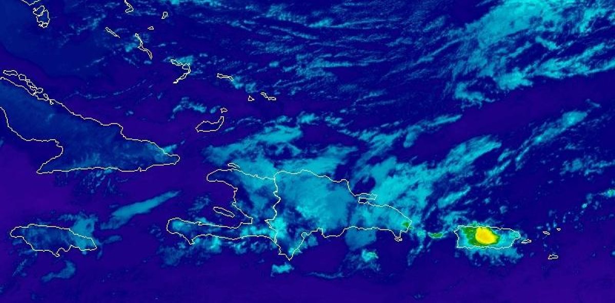
Meteorological analysis indicates that a drier, more stable air mass linked to an approaching high-pressure system is now dominating the region’s weather patterns. This atmospheric change will substantially limit rainfall across most territories, though isolated morning showers of light to moderate intensity are anticipated in several northern provinces including Duarte, Hermanas Mirabal, María Trinidad Sánchez, Espaillat, Puerto Plata, Monte Cristi, and La Altagracia’s coastal zone.
During afternoon hours, meteorological models suggest precipitation may extend to Monseñor Nouel, La Vega, and Santiago regions, plus southwestern mountain ranges, driven by localized effects and cool northeasterly wind patterns. Evening conditions will see easterly and northeasterly winds transporting cloud cover that may generate isolated showers in El Seibo, Hato Mayor, Monte Plata, Santo Domingo, and other northeastern locations.
The forecast indicates increasing atmospheric instability by Monday, with scattered showers expected from early morning across eastern, northeastern and central provinces including La Romana, San Pedro de Macorís, Sánchez Ramírez, Samaná, and San José de Ocoa. Meteorological analysis suggests precipitation could intensify during afternoon hours, particularly throughout the Cibao region where localized downpours may occur, potentially accompanied by electrical storms and gusty winds.
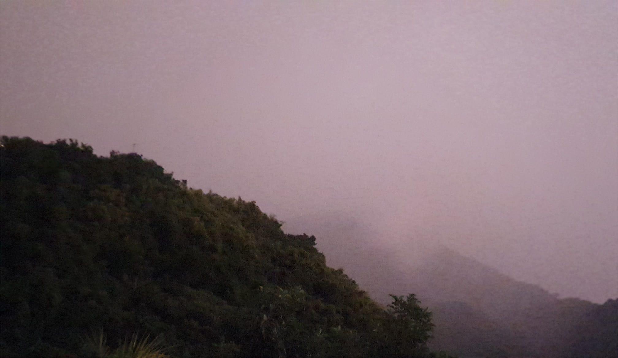
Temperature projections indicate a continuing decline over the next 24-48 hours, consistent with seasonal patterns and the recent frontal system’s passage. The resulting thermal conditions will create noticeably pleasant cooling sensations, especially in mountainous areas during nighttime and early morning hours.