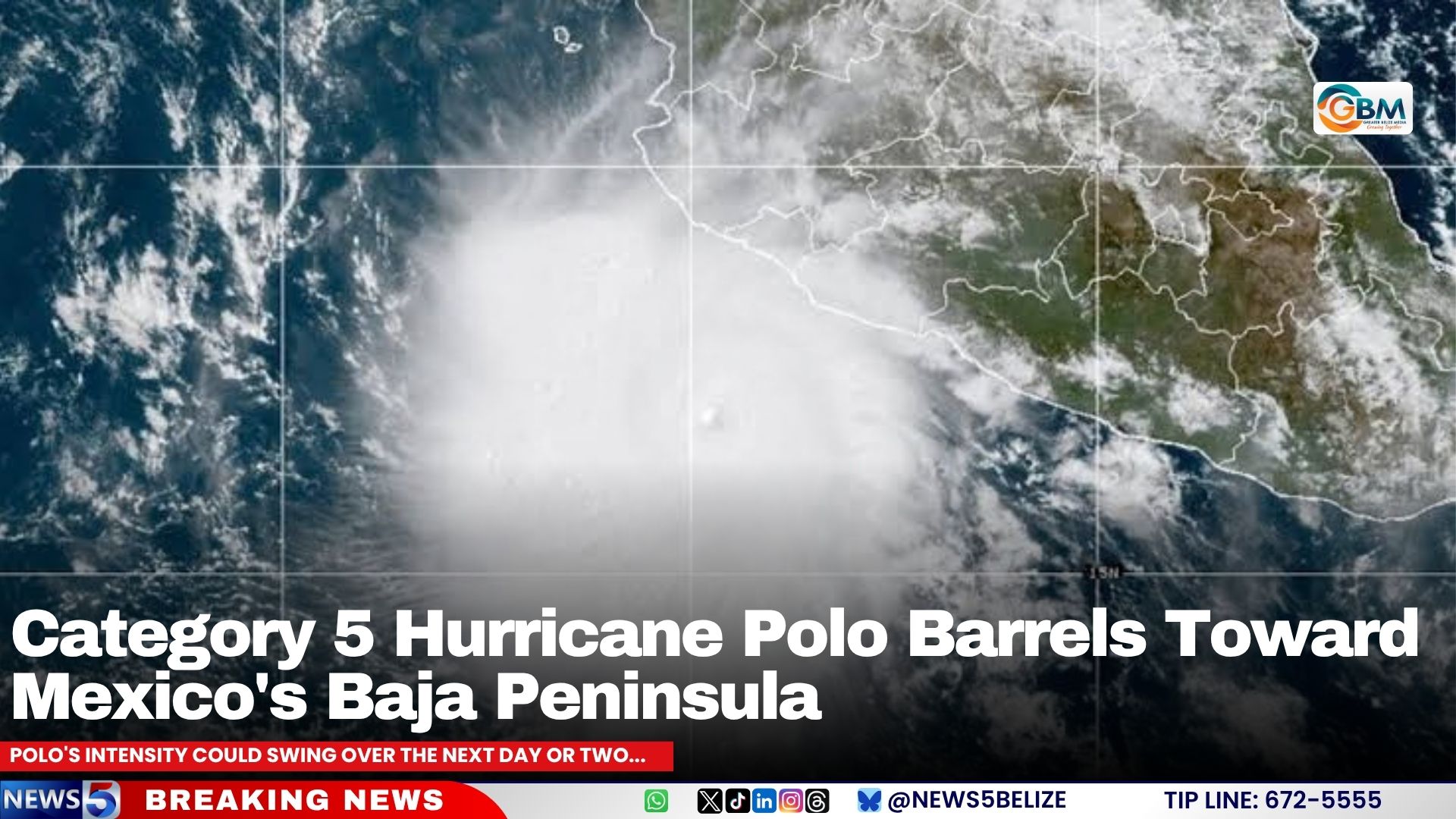
A powerful Category 5 hurricane is posing imminent danger to northwestern Mexico and potentially the southwestern United States, as forecasters confirm Hurricane Polo has regained its maximum strength off Mexico’s Pacific coastline and is on a direct path toward Baja California Sur.
As of the latest update from the U.S. National Hurricane Center (NHC) on September 25, 2026, the massive storm is positioned approximately 280 miles southwest of Cabo Corrientes, Mexico. Right now, Polo is carrying maximum sustained winds of 160 miles per hour, a threshold that puts it firmly in the highest tier of hurricane intensity on the Saffir-Simpson scale. At present, the system is moving west at roughly 12 miles per hour, pulling it temporarily away from Mexico’s mainland southwestern coast—but this trajectory is not expected to hold long, according to forecasters.
Meteorologists have mapped out a clear shifting track for the storm over the coming days. They project that Polo will curve northwest by Saturday, shift to a northerly direction by Sunday, and finally make a turn toward the northeast on Monday. This path will bring the storm directly into contact with Baja California Sur, before it pushes further inland onto mainland Mexico.
Hazardous impacts from the storm have already begun to reach coastal areas. Dangerous swells generated by Polo are currently battering southwestern Mexico’s shoreline, and these rough conditions are expected to spread northward along west-central Mexico’s coast and toward Baja California Sur through the end of the weekend. The NHC has issued urgent warnings that these building swells bring life-threatening risks including powerful rip currents, destructive high surf, and widespread coastal flooding that can put lives and property in danger.
While some weakening is forecast in the near term, the threat will not dissipate entirely when the storm loses intensity. Meteorologists project that Polo will begin to gradually lose strength starting Saturday, after potential small fluctuations in intensity over the next 48 hours. Even as the storm system weakens, however, its vast plume of tropical moisture is expected to trigger extreme weather hundreds of miles from Polo’s core track. The NHC notes that remnant moisture from the hurricane may indirectly generate heavy downpours and dangerous flash flooding that extends all the way into the southwestern United States, putting communities across that region on high alert.