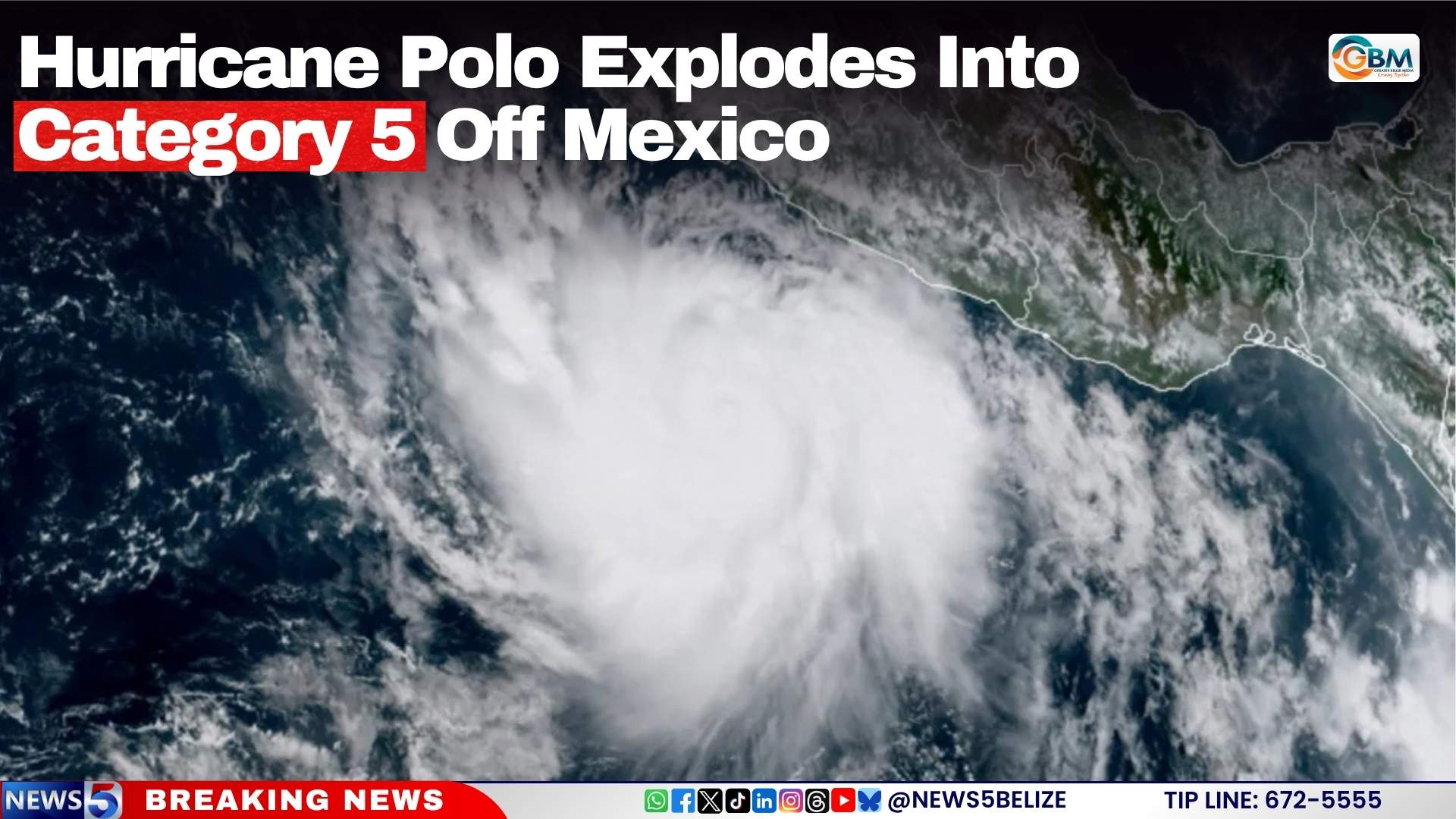
In the eastern Pacific Ocean, a rapidly strengthening storm has captured the urgent attention of meteorologists worldwide: Hurricane Polo has exploded from a weaker system to a dangerous Category 5 hurricane in an extraordinarily short timeframe. Over just 24 hours, the storm’s maximum sustained wind speeds surged by 110 miles per hour, a rate of intensification that the U.S. National Hurricane Center (NHC) has described as “truly remarkable,” ranking among the fastest ever recorded in the eastern Pacific basin.
This historic rate of intensification places Polo in rare company alongside some of the most devastating hurricanes to impact Mexico in recent decades. It comes extremely close to the 24-hour intensification surge seen in 2023’s Hurricane Otis, which leveled large parts of the coastal resort city of Acapulco after catching forecasters off guard with its rapid strengthening. Only Hurricane Patricia, which set a global record in 2015 with a 120 mph 24-hour wind increase, has posted a faster intensification rate in the region.
As of Tuesday morning local time, Polo boasts maximum sustained winds of 160 mph, making it one of the strongest storms to form in the eastern Pacific in recent years. Current forecast tracking models project the storm will turn northwest in the coming days, following a path that runs parallel to Mexico’s southwestern coastline. Forecasters with the NHC note that the storm’s most powerful winds are expected to remain over open ocean, far from populated coastal areas.
Even with the strongest conditions staying offshore, Mexican communities along the southwest coast still face significant, life-threatening hazards. Forecasters identify heavy rainfall as Polo’s most dangerous onshore threat, with the NHC projecting total accumulations of 4 to 8 inches across the states of Guerrero and Michoacán through Thursday. Isolated areas could see as much as 12 inches of rain, creating extreme risk for flash flooding and destructive mudslides across mountainous and low-lying coastal regions. In response to these risks, authorities have issued a tropical storm watch for a 300-mile stretch of coastline stretching from Tecpán de Galeana to Manzanillo, warning residents to prepare for potential storm conditions.
Polo is not the only active storm system in the Pacific this week. Tropical Storm Odalys is currently churning far to the west-southwest of the southern tip of Baja California, and meteorologists predict it could strengthen to hurricane strength by the middle of the week.
The unusually active Pacific hurricane season, which has already produced multiple major storms, is being linked to ongoing El Niño conditions that have pushed ocean surface temperatures across the Pacific far above average. Climate and weather experts note that warmer ocean waters act as fuel for tropical cyclone development, creating favorable conditions for the hyperactive season currently unfolding in the Pacific. In a striking contrast, the Atlantic basin has yet to record its first hurricane of the 2026 season, a stark split in activity that aligns with typical El Niño-driven weather patterns.