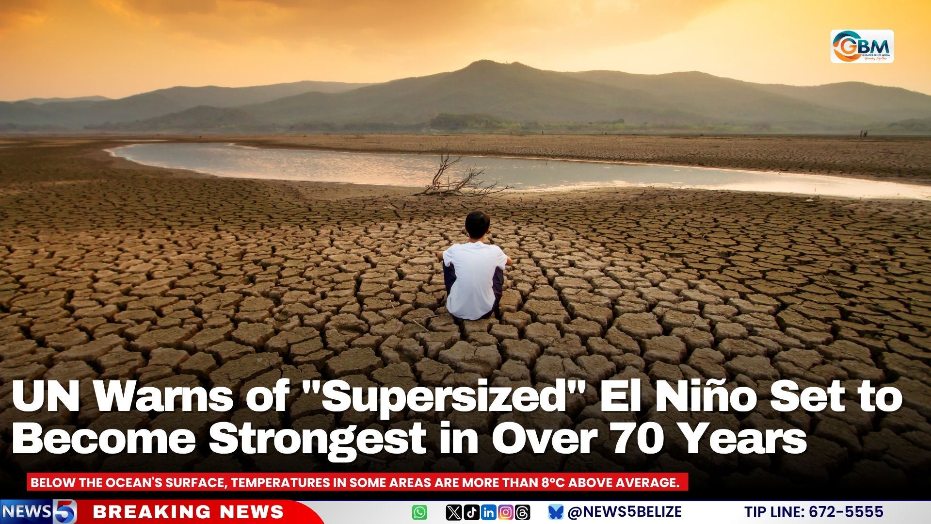
As the clock ticks toward one of the most dangerous climate events in modern history, United Nations leaders have issued an urgent global alert: a rapidly strengthening El Niño is set to become the most intense such weather pattern recorded since 1950, pushing the entire planet into what UN Secretary-General António Guterres terms a “danger zone of extreme weather.”
New analysis released by the World Meteorological Organization (WMO) confirms the current El Niño is projected to remain active through at least the early months of 2027, with ocean temperature trends already outpacing every El Niño event recorded in the past seven decades. In the central and eastern Pacific, the region that scientists monitor closely to track El Niño development, sea surface temperatures have already surged more than 2 degrees Celsius above long-term averages in recent weeks. Forecasters warn that by the end of 2026, monthly average temperatures in key monitoring zones could climb to nearly 4 degrees Celsius above baseline. Even deeper in the water column, some Pacific regions have recorded subsurface temperatures more than 8 degrees Celsius above normal.
The abnormal warming is not isolated to the Pacific, either. Above-average sea surface temperatures have now been detected across the Indian Ocean, the tropical Atlantic, and along sections of Australia’s coastline, amplifying the potential for widespread weather disruptions across multiple hemispheres.
“El Niño is being supersized before our eyes. The science leaves no room for doubt: the planet is in uncharted waters, and those waters are heating up,” Guterres stated in his official warning.
WMO Secretary-General Celeste Saulo emphasized that low-income and climate-vulnerable communities will bear the brunt of the event’s impacts. “El Niño has the potential to deliver a massive blow to communities and economies across the world,” Saulo noted, highlighting the unequal risk faced by regions with limited infrastructure to adapt to extreme conditions.
The first major impacts are already unfolding across vulnerable regions. Much of Southeast Asia, Central America, and northern South America are forecast to see far drier conditions than average through the event’s peak, dramatically increasing the risk of prolonged drought and destructive wildfires. In Indonesia, firefighters and authorities have already been working for months to contain wildfires that have scorched more than 107,000 hectares of land this dry season. The government has deployed cloud-seeding aircraft to induce much-needed rain, and has arrested dozens of people accused of intentionally setting fires to clear land for agricultural development illegally.
Key global trade infrastructure is also already adjusting to expected conditions. The Panama Canal, which handles roughly 14,000 vessel transits every year and generates approximately $3 billion annually for Panama’s national economy, has already announced plans to cut daily vessel traffic by more than 10% in anticipation of drastically reduced rainfall that will limit water levels needed for transits.
In South America, Peru faces a particularly high risk of catastrophic flooding and deadly landslides, a common impact of strong El Niño events along the country’s Pacific coast. In a pre-emptive move to bolster response capacity, the United States announced last month it would deploy the hospital ship USNS Comfort to Peruvian coastal waters to provide emergency medical assistance as the event approaches its peak intensity. Belize has also issued an official drought warning, as authorities prepare for extended dry conditions linked to the strengthening El Niño.
The UN and WMO have urged governments worldwide to accelerate early warning preparedness and coordinate cross-border response plans to reduce avoidable loss of life and economic damage from the unprecedented event.