As Suriname continues to grapple with an extended dry spell, new weather forecasts point to another stretch of unseasonably warm, largely rain-free conditions for the country in the coming days. Meteorological projections put maximum daily temperatures between 33 and 34 degrees Celsius, while overnight lows will hover between 24 and 26 degrees Celsius. Global weather models predict a mix of abundant sunshine and scattered cloud cover, with only moderate wind speeds expected across the region. This warm, arid pattern aligns with the extended dry period the nation has been experiencing this season.
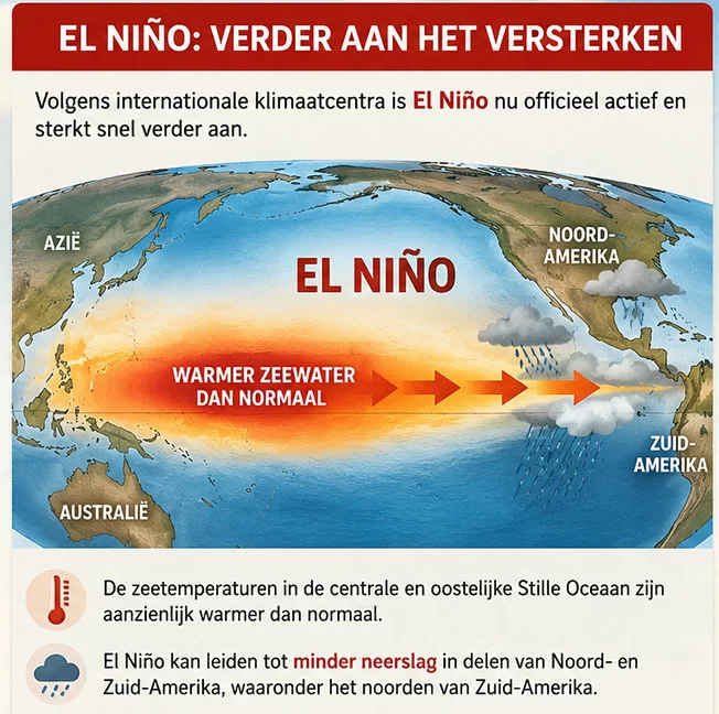
Beyond immediate local forecasts, climate researchers confirm that the current El Niño event is strengthening at a rapid pace, with major climate institutions warning it will remain strong through the end of 2026 and persist into early 2027. The U.S. National Oceanic and Atmospheric Administration (NOAA) has officially issued an El Niño Advisory, following consistent data showing the climate pattern has gained intensity in recent weeks. The International Research Institute for Climate and Society also notes the event is on track to become an exceptionally strong El Niño.
Ocean temperature data underscores this rapid strengthening: in the key Niño 3.4 monitoring region of the central Pacific, the temperature anomaly rose steadily through July, reaching a weekly average anomaly of +2.7 degrees Celsius by mid-August. Nearly all climate models surveyed agree the event will hold its strength for the remainder of this year and extend into the first quarter of 2027.
This strengthening trend carries notable implications for northern South America, including Suriname. Historically, El Niño events correlate with significant shifts in rainfall patterns across tropical regions of the globe. NOAA confirms that reduced precipitation across northern South America is one of the most well-documented potential impacts of a strong El Niño. However, climate scientists emphasize that the El Niño pattern does not allow for precise predictions of daily or even monthly rainfall totals for specific locations like Suriname, only broad shifts in overall precipitation trends.