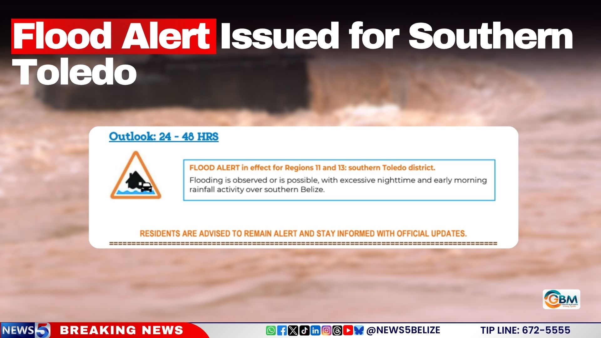
As of August 6, 2026, authorities in Belize have issued an urgent flood alert for the southern Toledo district, warning residents that dangerous flooding could strike within the next 24 to 48 hours amid ongoing overnight and early morning rainfall across the region. The official forecast, released at midday by the Belize Ministry of Sustainable Development, Climate Change and Solid Waste Management, outlines a mixed picture of river levels across the country, with most major waterways sitting at or below long-term normal averages. However, key hydrological systems in the southern half of the nation have already risen above safe baseline levels, bringing immediate flood risk to local communities. The Moho River, one of the largest watercourses in southern Belize, has crossed the official flood threshold at the Blue Creek South monitoring site, where water levels have now risen above the height of the local bridge, creating impassable and unsafe conditions for travel. Other at-risk water bodies include the Temash River, the Sittee River, and Gales Point Lagoon, all of which are currently running well above their normal seasonal levels. By contrast, a number of other major rivers across Belize remain in safe ranges: the Rio Grande and Sarstoon River sit below normal levels, while the northern and central Belize water systems including the Rio Hondo, New River, Belize River, Sibun River, Mopan River and Macal River are all at or below normal levels, with no immediate flood threats reported for these areas. Local officials are urging all residents in southern Toledo and surrounding high-risk zones to stay vigilant, monitor official government updates continuously, and prepare emergency supplies and evacuation plans in case weather conditions deteriorate and flood risks escalate in the coming days.