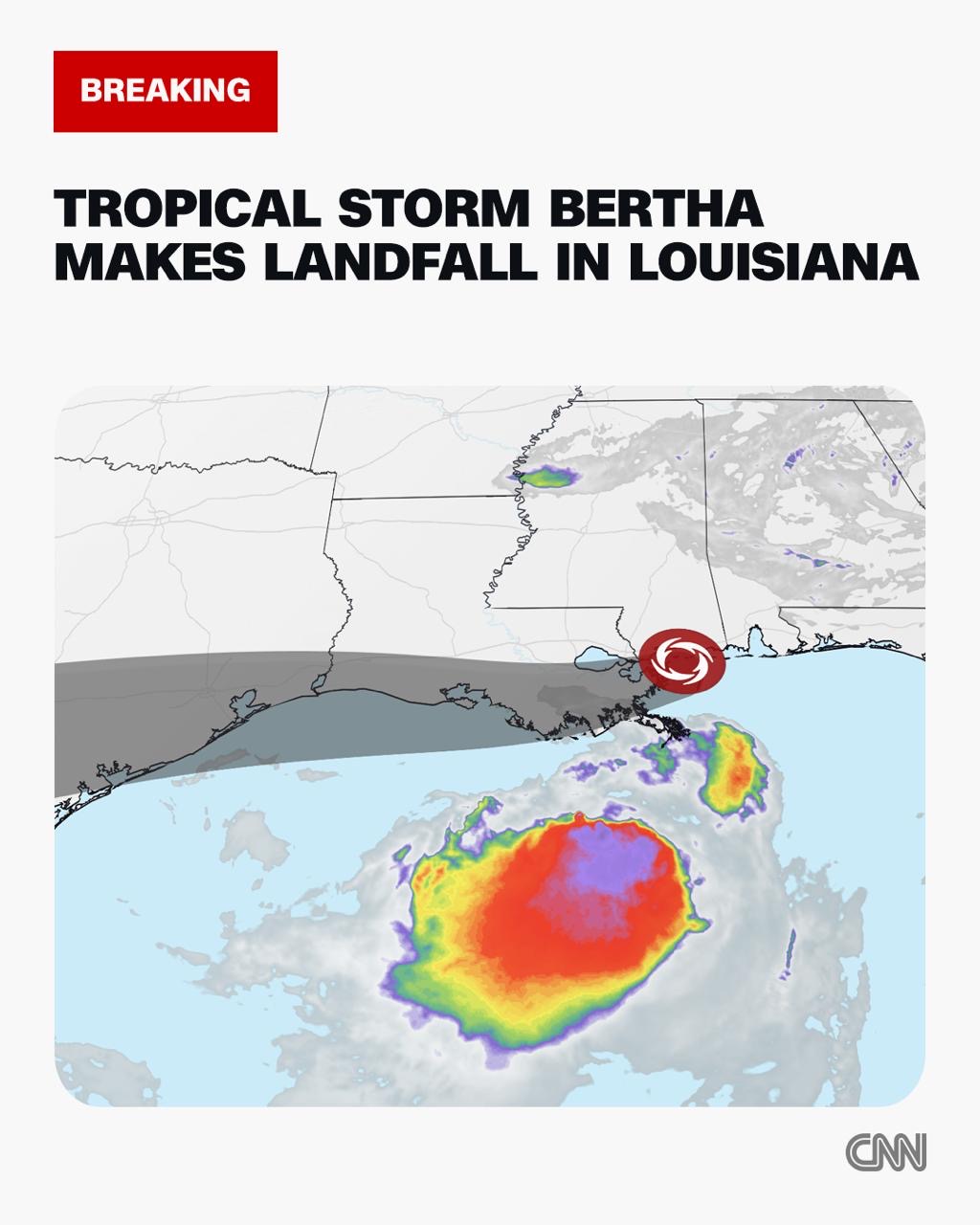
As Tropical Storm Bertha tracks westward across southern Louisiana, it is already bringing disruptive tropical storm-force wind gusts and hazardous conditions for coastal beachgoers, but a far more dangerous consequence of the storm is unfolding hundreds of miles to the east, where its abundant tropical moisture is set to drive extreme flood rainfall across parts of the U.S. Southeast and East Coast through the end of the week.
According to official updates from the U.S. National Hurricane Center, Bertha made its official landfall at 3 p.m. Eastern Time in St. Bernard Parish, located in Louisiana’s southeastern region. Remarkably, the storm’s most intense wind gusts and heaviest downpours have remained offshore, with the system recording maximum sustained winds of 45 miles per hour at the moment its center moved onshore.
Unlike many tropical systems that pose their greatest threat near their landfall zone, Bertha’s most impactful hazard is developing far from its Louisiana landing point. The storm’s trapped tropical moisture is interacting with a slow-moving cold front stretching across the U.S. East Coast, creating conditions primed for extreme heavy rainfall and widespread flooding through Thursday. The affected areas include southeast Virginia, multiple regions of the Carolinas, and northern Georgia.
Meteorologists from CNN Weather explain that a stationary cold front is drawing Bertha’s moisture northward and eastward from the Gulf of Mexico coast into the Southeast, creating a continuous feed of water vapor that sustains the heavy rain systems. As for Bertha itself, forecasters predict the storm will gradually lose strength as it pushes westward toward coastal Texas, with its center expected to reach the region by Thursday evening. Even as it weakens, the remnant system will bring scattered rain and occasional gusty winds to coastal Texas, while continuing to feed tropical moisture into the flood-bearing storm systems lingering over the Southeast.