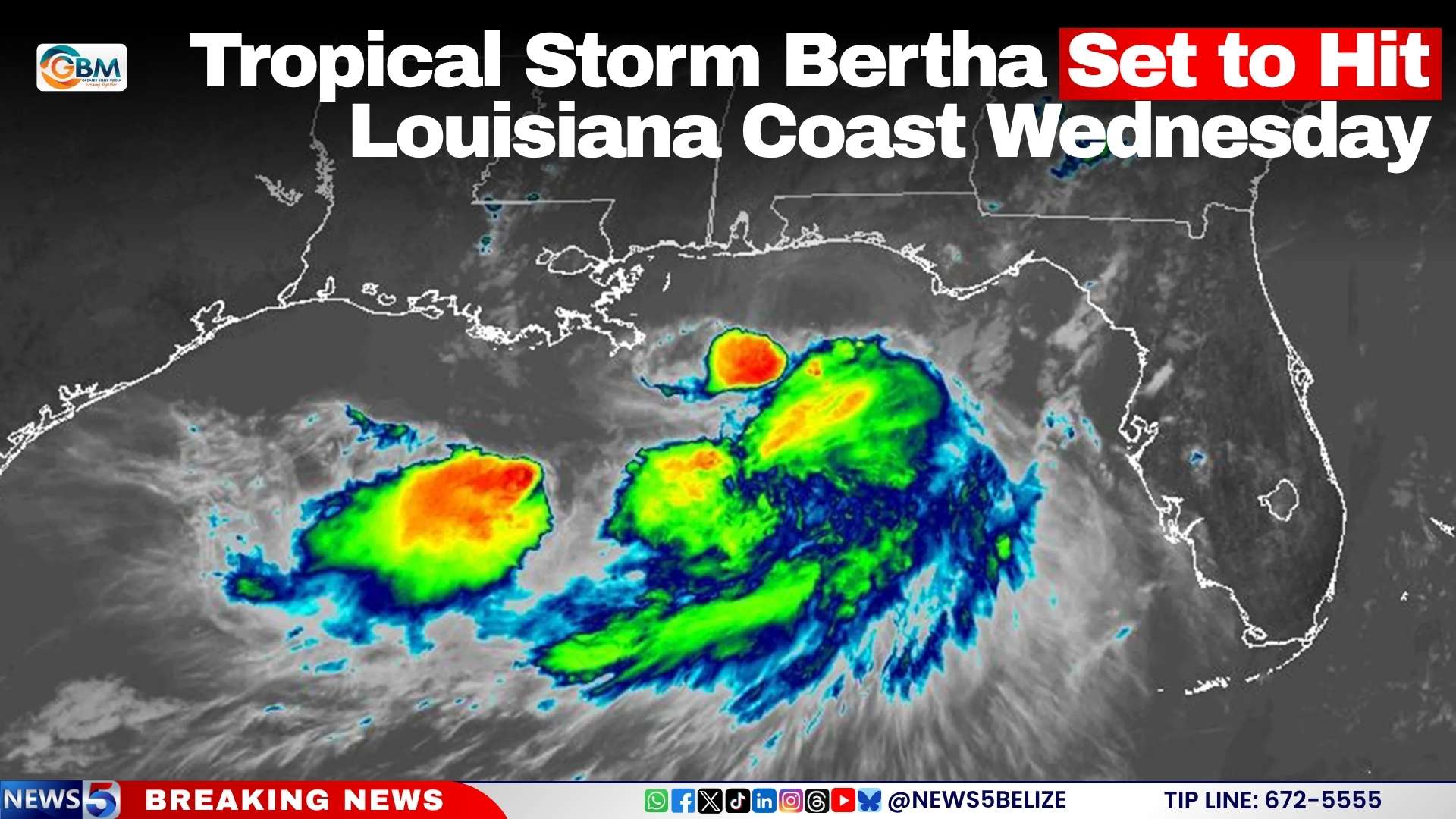
As the 2026 Atlantic hurricane season continues its early progression, communities across the U.S. Gulf of Mexico coast are rushing to complete emergency preparations ahead of Tropical Storm Bertha’s expected landfall this Wednesday.
The storm picked up strength on Tuesday while traversing the northeastern quadrant of the Gulf of Mexico, with the U.S. National Hurricane Center currently recording maximum sustained winds of 60 miles per hour. Forecasters have pinpointed Plaquemines Parish, Louisiana as the most likely area where Bertha will make its first landfall, after which the system is projected to gradually weaken as it moves inland.
To alert residents and local authorities to incoming hazards, the National Weather Service has issued a Tropical Storm Warning spanning more than 600 miles of coastline: the alert stretches from the Bay/Gulf County border in western Florida all the way to the Terrebonne/Lafourche Parish line in southern Louisiana. Areas further west, including the major city of New Orleans, Lake Pontchartrain, Lake Maurepas, and the coastal stretch extending from the Terrebonne/Lafourche line to the Vermilion/Cameron Parish line, remain under a Tropical Storm Watch, with officials warning conditions could deteriorate rapidly in these zones.
The National Hurricane Center has outlined the primary threats facing vulnerable low-lying coastal communities: total rainfall accumulations between 2 and 6 inches, which raises a high risk of life-threatening flash flooding, wind gusts exceeding the 39 mile per hour threshold for tropical storm classification, and a storm surge capable of pushing ocean water up to four feet above normal tide levels in exposed coastal areas.
Bertha marks only the second named storm of the 2026 Atlantic hurricane season, coming less than one month after Tropical Storm Arthur formed over the basin in June, making this an on-track start to the year’s hurricane activity according to seasonal forecasting models.