On Tuesday, June 30, 2026, Enrique Monize, Commissioner of the Guyana Lands and Surveys Commission (GLSC), announced a multi-pronged initiative to clear long-standing backlogs in land applications while rolling out modern geospatial and digital land management technologies across the South American nation. The announcement, delivered at the GLSC’s 25th anniversary awards ceremony, marks a key milestone in the government’s push to build a more accessible, transparent land administration system aligned with national development goals.
As part of the backlog clearance effort, the GLSC is currently conducting boundary surveys on thousands of acres of underutilized public land across nine of Guyana’s 10 administrative regions, excluding the densely populated Demerara-Mahaica (Region Four). Once surveyed, these parcels are transferred directly to the Central Housing and Planning Authority (CH&PA), the government body responsible for housing development and land allocation. Monize told attendees that the agency targets to prepare an additional 8,000 acres of land for CH&PA this year alone, a move designed to eliminate the agency’s housing application backlog in all regions outside Region Four.
The GLSC’s work complements ongoing progress at CH&PA, which launched a digital single window system for land and construction applications in June 2024. Just days before Monize’s announcement, CH&PA officials reported that the new platform has already cut the backlog of residential land applications by 21%, while seeing a 1% rise in submitted non-residential applications. Speaking at the recently concluded 2026 Building Expo, CH&PA Research Officer Kimberly Cosbert shared detailed data on the system’s uptake: between its launch and June 2026, the platform has received 8,513 total applications, 64.3% for residential projects and 35.7% for non-residential developments. Of those submissions, 3,535 have been fully processed and closed, leaving 4,055 still in the review pipeline. “This shows actually that the system is being used and applications are being moved from one stage to the other,” Cosbert noted, highlighting that the digital overhaul is already streamlining administrative workflows.
To address backlogs within its own operations, the GLSC has deployed a mobile task force that conducts file audits across all of its regional offices, purging dormant records and processing long-unresolved applications. Monize reported that this targeted cleanup has already led to a “significant decline” in public complaints about delayed land services during community outreach events.
Alongside backlog reduction, the commission is cracking down on illegal encroachment on public state land. Monize cited a recent incident just one day prior, where an individual attempted to seize publicly owned land at the former Hog Stye toll station. In response, GLSC surveyors immediately demarcated the parcel to reserve it for a planned Public Works Ministry project to install vehicle weighing scales. “Government land has to be left to do government business. We cannot just give everything away,” Monize emphasized, reaffirming the agency’s commitment to protecting state land assets for public use.
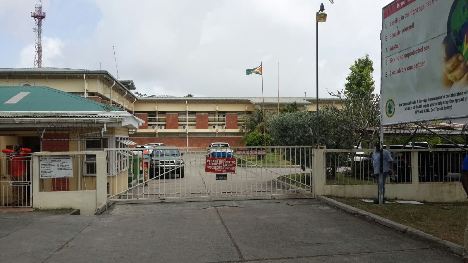
Founded under Act No. 15 of 1999, with official operations launching on June 1, 2001, the GLSC is the successor to the 19th-century Crown Lands Department, later reorganized as the Department of Lands and Surveys under the Ministry of Agriculture. Today, the agency is advancing a series of long-term modernization projects beyond backlog clearance. It is currently updating national maps, with the revised map of the capital city of Georgetown already 90% complete, and new map sets for coastal and developed inland areas currently in production. The GLSC has also begun work on the first-ever updated regional land use plans for West Demerara-Essequibo Islands (Region Three) and Demerara-Mahaica (Region Four), two of the country’s most economically active regions, and will conduct a full review and update of the draft national land use plan.
Guyanese President Irfaan Ali laid out the government’s broader vision for land sector reform during the event, stating that the administration aims to build a modern, efficient, transparent, and citizen-centric land administration system. Ali articulated priorities including fully digitized, publicly accessible land records, data-driven decision-making based on accurate geospatial information, and expanded geographic information systems (GIS) infrastructure to support evidence-based planning and development nationwide. A core goal of the reform, he noted, is to strengthen tenure security for all land users, including individual citizens, smallholder farmers, private businesses, and local communities. “We want institutions that work seamlessly together in support of national development, and we want a system that balances economic growth with responsible stewardship of our land resources for future generations,” the president said.