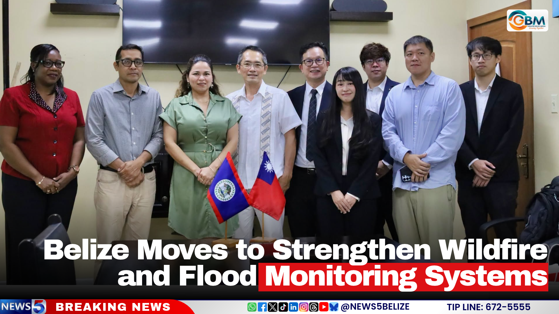
On November 19, 2026, Belize announced it is rolling out a sweeping set of upgrades to its national disaster risk reduction infrastructure under the newly launched Belize Multi-Hazard Risk Management Capacity Building Project, targeted at closing critical gaps in wildfire surveillance, flood tracking, cross-agency weather data alignment, and grassroots community disaster readiness. The initiative is being delivered through a cross-border technical partnership backed by the Taiwan International Cooperation and Development Fund, coordinated by the Taiwan Technical Mission, and co-executed alongside Belize’s Ministry of Sustainable Development and Climate Change and Ministry of Public Service, Disaster Risk Management and Enterprise. A specialist technical taskforce from National Taiwan University (NTU), led by Associate Professor Hao-Che Ho, completed a six-day on-site assessment and stakeholder consultation tour across Belize between November 5 and 10, 2026, to map out actionable upgrades for the country’s under-resourced early warning networks. During field visits, the team formally validated that a proposed monitoring outpost in the ecologically sensitive Mountain Pine Ridge region meets all operational requirements to host a new solar-powered wildfire detection system. This upcoming installation will be fitted with high-definition resolution cameras and real-time environmental sensors calibrated to track temperature, humidity, vegetation dryness, and other metrics that signal elevated wildfire risk, eliminating gaps in coverage for the remote forest reserve that has faced rising fire threats amid recent regional drought trends. The NTU delegation also held in-depth working sessions with leadership from Belize’s National Meteorological Service to finalize plans to unify roughly 80 scattered, previously disconnected meteorological monitoring stations into a single, centralized shared data platform. This integration will cut down on data silos, speed up the dissemination of extreme weather alerts, and create a more robust foundational dataset to feed into Belize’s national Early Warning System. Separately, the team collaborated with the National Hydrological Service to audit data consistency and transmission reliability across all monitoring points spanning the Belize River Basin, a high-priority zone prone to seasonal flash flooding. As part of the planned upgrades, a new 360-degree panoramic surveillance camera will be installed at the Iguana Creek Flood Monitoring Station to deliver continuous, real-time visual coverage of water levels and flow conditions across both Iguana Creek and the adjacent Double Run waterway, giving disaster response teams far earlier notice of rising water levels that threaten nearby residential communities and agricultural lands. The project comes as Belize is counted among 25 nations globally that are actively embedding ecological and wildlife conservation considerations directly into national climate adaptation policies, ensuring that disaster risk reduction upgrades also align with long-term biodiversity protection goals for the Central American nation’s fragile tropical ecosystems.