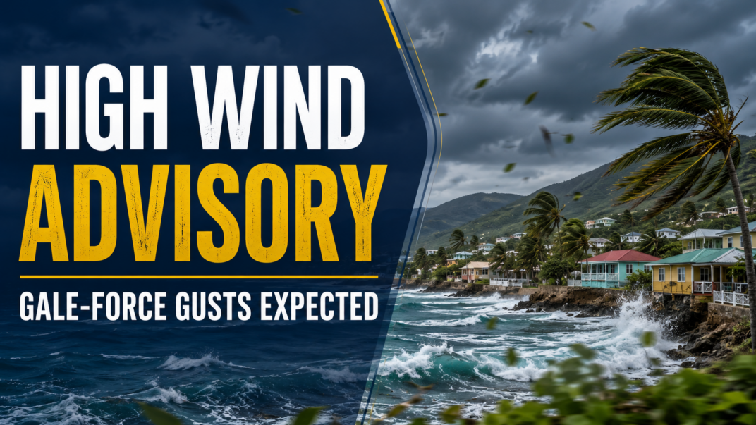
Residents across six Eastern Caribbean island territories are bracing for strong gusty winds this weekend, after local meteorological officials rolled out a high wind advisory triggered by the westward movement of Tropical Disturbance AL92 through the region.
The affected areas include Antigua, Barbuda, Montserrat, St. Kitts and Nevis, Anguilla, and the British Virgin Islands. The warning will enter into force at 8 p.m. local time Friday and stay active until roughly 2 p.m. Saturday, according to official confirmation from the Antigua and Barbuda Meteorological Services.
Speaking on the developing conditions, senior forecaster Dale Destin explained that AL92’s passage through the Eastern Caribbean has tightened the regional pressure gradient, the key force that drives wind speed across the area. The most severe conditions are predicted to hit exposed coastal waters, along with elevated and open terrain on the windward sides of the islands.
Forecasters project sustained easterly winds will range between 28 and 44 kilometers per hour (17 to 28 miles per hour), while sudden gusts can reach gale to storm force, hitting peaks near 69 km/h (43 mph). The peak wind event is expected between midnight Friday and mid-morning Saturday, the window when risks will be highest.
While the overall threat to human life and private property remains classified as low, the Meteorological Services has stressed that the gusty conditions could create dangerous or uncomfortable scenarios for outdoor activity. Strong sudden gusts can disrupt balance, particularly for people on exposed high ground or near cliff edges, raising fall risks.
Beyond personal danger, the high winds carry a range of secondary hazards. Loose outdoor items can be hurled across areas or fall from height, creating impact risks. Conditions will also generate hazardous rough seas, increase coastal soil erosion, raise the likelihood of motor vehicle accidents on windy roads, and cause disruptions to local commercial operations, scheduled sporting events, and public and private transportation networks. While commercial air travel may face minor delays or scheduling adjustments, marine transportation is expected to see the most significant and widespread disruptions to service.
To mitigate avoidable risks, meteorological officials have issued clear guidance for local residents and visitors. All loose, lightweight outdoor objects that could become airborne should be secured or moved indoors before the advisory takes effect. Drivers are urged to reduce speed and exercise extra caution, especially on open highways and exposed coastal routes, while all members of the public are advised to stay away from elevated open locations and coastal cliff edges for the entire duration of the advisory.
For context, the Antigua and Barbuda Meteorological Services defines a high wind advisory as an official warning that sustained winds between 40 and 48 km/h (25 to 31 mph), paired with stronger gusts, are either already occurring or will arrive imminently. Officials are urging all people in the affected region to regularly monitor updated official forecasts from the Antigua and Barbuda Meteorological Services and updates from local media outlets to stay informed of any changing conditions.