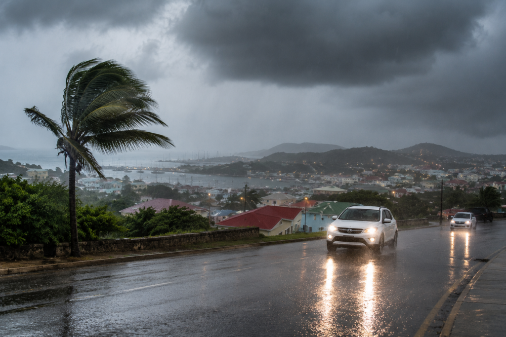
A low-pressure trough system is currently driving unstable atmospheric conditions across Antigua, Barbuda, and the broader Leeward Islands, bringing dense cloud cover, frequent thunderstorm activity and sustained periods of intense rainfall that have put local officials on alert. The Antigua and Barbuda Meteorological Service has issued an urgent advisory calling on all residents to maintain the highest level of caution amid the ongoing adverse weather event.
Meteorological officials warn that the persistent unsettled conditions carry significant safety risks for the public. Heavy downpours are already cutting visibility across large swathes of the islands, creating slick, dangerous driving conditions on both urban and rural roads, especially in regions that have recorded the highest rainfall accumulations. In response to these hazards, authorities have issued a clear appeal to all motorists to reduce speed, allow extra stopping distance, and avoid unnecessary travel for the duration of the system’s passage over the islands.
As of the latest update, the meteorological service has not issued formal flood watches or warnings for the territory. However, forecasters have stressed that this status could change rapidly: if current high-intensity rainfall continues, a formal flood advisory will be activated to alert at-risk communities to potential flooding of low-lying areas.
According to current meteorological projections, the trough system is expected to begin moving away from the region, with conditions forecast to steadily improve through the course of this afternoon and into tonight. The Antigua and Barbuda Meteorological Service has confirmed that it will maintain continuous monitoring of the weather system and issue timely updates to the public as new information becomes available.