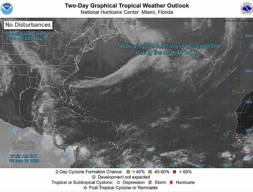
Meteorological authorities from the Meteorological Services, MBIA, in partnership with the Grenada Airports Authority (GAA), have issued an official update on tropical weather activity across the Tropical North Atlantic Ocean, Caribbean Sea, and Gulf of Mexico. The forecast highlights a developing tropical wave marked for monitoring within the zone of special interest spanning 10 – 20 °N latitude and 40 – 65 °W longitude.
The system, a broad tropical wave, currently sits with its central axis along 51°W, positioned south of 15°N. As of the latest advisory, the disturbance sits roughly 628 nautical miles east of the Lesser Antilles island chain, tracking steadily westward at a forward speed of between 15 and 20 knots. Following current trajectory models, the wave is on track to reach the island of Grenada between Saturday evening and early Sunday morning. Forecasts predict the system will bring increased cloud cover and scattered to widespread showers across the island during that window.
Beyond this monitored disturbance, forecasters confirm that no additional tropical cyclone development is anticipated across the entire monitoring basin over the next 48 hours. The next official advisory update on the tropical wave’s progress is scheduled for release at 2 pm local time.
This public weather advisory is issued by the combined Meteorological Services, MBIA and Grenada Airports Authority, with distribution via NOW Grenada. NOW Grenada notes it assumes no responsibility for contributor content included in public advisories, and invites users to report any suspected content violations through official platform channels.