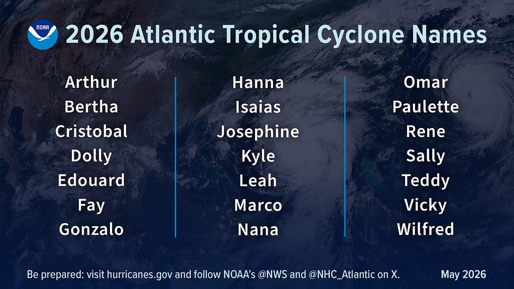
The U.S. National Oceanic and Atmospheric Administration (NOAA) has released its official seasonal outlook for the 2026 Atlantic hurricane season, forecasting that overall storm activity will likely fall below the long-term average for the basin running from June 1 through November 30. According to NOAA’s National Weather Service forecasting team, the probability of a below-normal season stands at 55%, while near-normal activity carries a 35% chance and an above-normal season only a 10% likelihood. The agency projects the season will see between 8 and 14 named storms — systems producing sustained winds of 39 mph or higher. Of those named storms, 3 to 6 are expected to strengthen into hurricanes (winds of 74 mph or greater), with 1 to 3 growing into major hurricanes ranked Category 3, 4, or 5, which carry winds of 111 mph or higher. NOAA says it has 70% confidence in this projected range, which is noticeably lower than the historical average: a typical Atlantic season counts 14 named storms, seven hurricanes, and three major hurricanes. Commerce Secretary Howard Lutnick emphasized that NOAA and the National Weather Service have leveraged cutting-edge modeling and storm tracking infrastructure to stand ready to deliver real-time forecasts and emergency warnings as storms develop. “Our experts are integrating cutting-edge tools to ensure communities in the path of storms receive the earliest, most accurate information possible,” Lutnick said. NOAA Administrator Neil Jacobs, Ph.D., added that the agency’s rapid adoption of next-generation technologies — including artificial intelligence-powered weather models, reconnaissance drones, and new satellite data streams — allows forecasters to turn raw climate data into actionable guidance that protects American lives and livelihoods. “These new capabilities, combined with the unmatched expertise of our National Weather Service forecasters, will produce the most accurate forecasts possible to protect communities in harm’s way,” Jacobs noted. Multiple competing climate factors are shaping this year’s below-normal forecast. The primary driver is the expected development and intensification of El Niño conditions over the course of the hurricane season, a climate pattern that historically suppresses tropical cyclone formation in the Atlantic. Countering this effect, however, are slightly warmer-than-average Atlantic sea surface temperatures and weaker-than-average trade winds — two conditions that typically fuel more active hurricane seasons. Even with the forecast for reduced overall activity, NOAA’s National Weather Service Director Ken Graham stressed that uncertainty remains inherent in every seasonal outlook, and preparedness cannot be skipped. “Although El Niño’s impact in the Atlantic Basin can often suppress hurricane development, there is still uncertainty in how each season will unfold,” Graham said. “That is why it’s essential to review your hurricane preparedness plan now. It only takes one storm to make for a very bad season.” It is important to note that NOAA’s seasonal outlook only assesses overall basin-wide activity, rooted in large-scale climate and weather patterns. The outlook does not predict where or when individual storms will make landfall, as those outcomes depend on highly variable short-term weather patterns. No forecast of seasonal activity eliminates the risk of a destructive storm hitting coastal or inland communities. Graham urged at-risk communities to complete preparedness steps well ahead of any storm threat, directing residents to official resources including weather.gov/safety and Ready.gov for updated, evidence-based preparedness guidance. NOAA plans to release an updated 2026 seasonal outlook in early August, ahead of the historical peak of Atlantic hurricane activity, which typically runs from mid-September through October.