Meteorological authorities in the Dominican Republic have issued warnings regarding a significant cold front expected to impact the nation for nearly a week. Analysis from weather expert Jean Suriel indicates that a polar air mass, combined with a new frontal system, will produce markedly cooler conditions both diurnally and nocturnally. This represents the second such meteorological event to affect the region within a seven-day period.
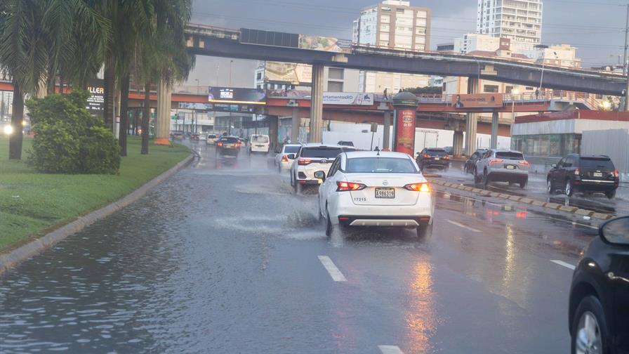
The current weather pattern features a winter low-pressure system traversing the Atlantic Ocean north of the Caribbean, generating sustained gusty winds across most territories. These atmospheric conditions are projected to persist through Thursday evening or early Friday morning, with the most pronounced temperature drops anticipated between 6:00 PM and 9:00 AM daily. Meteorological models suggest the coldest periods will occur during Monday’s predawn hours, followed by similarly frigid conditions on Tuesday and Wednesday nights.
Temperature projections through midweek indicate potentially record-breaking lows across various regions:
Mountainous areas face the most severe conditions, with Pico Duarte expected to reach -6°C and Valle Nuevo dropping to -4°C. Numerous highland regions including Constanza, Manabao, and Valle del Hondo will experience temperatures near 9°C. Urban centers show slightly warmer but still unseasonable readings: Santo Domingo and Puerto Plata at 18°C, Punta Cana at 20°C, while Santiago and La Vega will register 15°C and 16°C respectively.
The Dominican Institute of Meteorology (Indomet) reports that Sunday’s weather pattern shows relative stability due to an anticyclonic system, resulting in predominantly clear skies with minimal precipitation. Any rainfall is expected to be isolated and light, primarily affecting mountainous regions during afternoon hours. Evening conditions will feature moderate north/northeast winds potentially generating scattered showers along North Atlantic coastal areas.