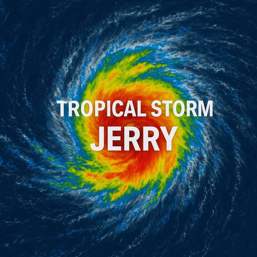
Tropical Storm Jerry is rapidly advancing toward the northern Leeward Islands, posing significant threats of heavy rainfall, strong winds, and dangerous surf conditions. As of 500 AM AST on October 8, 2025, the storm was located near latitude 13.3 North, longitude 50.7 West, approximately 890 miles east-southeast of the northern Leeward Islands. With maximum sustained winds of 50 mph (85 km/h) and a current movement of 23 mph (37 km/h) toward the west-northwest, Jerry is expected to strengthen and potentially escalate into a hurricane by Thursday. A Tropical Storm Watch has been issued for several islands, including Antigua, Barbuda, Anguilla, St. Kitts, Nevis, Montserrat, St. Barthelemy, St. Martin, Sint Maarten, Saba, St. Eustatius, and Guadeloupe. Residents in these areas are advised to monitor the storm’s progress closely. Forecasters predict that Jerry will bring 2 to 4 inches of rain, increasing the risk of flash flooding, particularly in elevated regions. Additionally, life-threatening surf and rip currents are anticipated as swells generated by the storm reach the islands. The next advisory will be issued at 800 AM AST, with a comprehensive update at 1100 AM AST. Authorities urge residents to prepare for potential impacts and heed safety warnings.
TS Jerry forecast to become a hurricane soon, watches in place for Antigua and Barbuda
