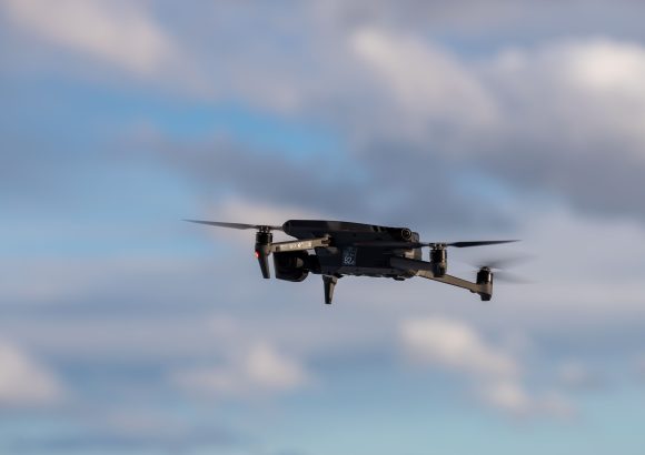
Santo Domingo – As the Dominican Republic accelerates the rollout of its next-generation telecommunications infrastructure, global networking leader Ericsson has launched an innovative 5G-native airspace monitoring solution purpose-built to identify and follow even non-signal-emitting rogue drones that evade traditional detection tools. Dubbed the Ericsson ISAC System, this cutting-edge platform leverages the Dominican Republic’s existing fleet of 5G cell towers, licensed spectrum bands, and established core network links to build a robust, cost-effective low-altitude surveillance layer, eliminating the need for costly, large-scale deployment of standalone dedicated radar hardware. Ericsson’s technical team notes that the proliferation of compact, low-priced consumer and commercial drones has created a growing national security gap in recent years: these agile craft are increasingly exploited by criminal networks to carry out unauthorized surveillance, cross-border smuggling operations, and other organized illicit activities. Their diminutive form factor and tendency to fly at extremely low altitudes make them nearly invisible to conventional radar systems, posing tangible risks to high-stakes sites including international airports, seaports, border checkpoints, and critical public utility infrastructure. Unlike traditional drone detection tools that rely on picking up drone transmission signals, the ISAC system works by capturing the unique electromagnetic wave reflections generated when airborne objects pass across 5G network coverage zones, using data points from multiple geographically dispersed 5G sites to pinpoint targets. Integrated artificial intelligence algorithms further enable the platform to deliver high-precision 3D positioning of detected objects and automatically classify drone types in real time. All surveillance data collected by the system can be end-to-end encrypted and seamlessly shared with centralized command-and-control dashboards, with built-in integration support for the Dominican Republic’s national 911 emergency response network, as well as state security and national defense agencies. Ericsson officials outlined a wide range of practical use cases tailored to the Dominican context: the system will reinforce border and coastal patrol capabilities, deliver round-the-clock protection for key seaports including Caucedo and Río Haina, monitor power generation facilities and other critical public infrastructure, and add an extra layer of safety for high-foot-traffic locations such as resort hotels, sports stadiums, and large-scale public gatherings. Looking ahead, the platform will also lay a foundational regulatory and operational framework to support the future rollout of legal commercial drone traffic management and urban air delivery services in densely populated hubs including Greater Santo Domingo and Santiago. Prior field trials conducted across the United States, Finland, and Poland have already verified that the ISAC system can reliably track small drones at multi-kilometer ranges with centimeter-level 3D positioning accuracy, validating its performance for real-world deployment.
Ericsson presents 5G system to detect and track drones in Dominican Republic