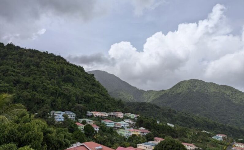
Unsettled weather patterns, driven by an upper-level trough, are expected to bring intermittent cloud cover, scattered showers, and isolated thunderstorms across the island today. Light winds and elevated daytime temperatures may intensify cloud formation, leading to localized afternoon downpours, particularly in western and northern regions. Residents in vulnerable areas, as well as motorists and pedestrians navigating flood-prone zones, landslide risks, and areas susceptible to falling rocks, are urged to remain vigilant. Additionally, a slight increase in Saharan dust is anticipated overnight, potentially persisting through Friday. Individuals with respiratory conditions are advised to take necessary precautions. Marine conditions are forecasted to remain slight to moderate, with wave heights reaching up to 3 feet along the west coast and 5 feet along the east coast within the next 24 hours. However, wave heights along the East Coast are expected to rise to nearly 7 feet overnight into Friday, accompanied by longer wave periods likely to generate ground swells. Meanwhile, Tropical Storm Gabrielle, located approximately 845 miles east of the northern Leeward Islands at 5 a.m., is moving west-northwest at 15 mph. With maximum sustained winds near 50 mph and higher gusts, the storm is projected to pass north of the northern Leeward Islands over the weekend. Residents are encouraged to stay updated on further developments.
WEATHER (6:00 AM, Sept 18): Scattered showers, thunderstorm activity expected today; residents advised to continue monitoring for TS Gabrielle updates