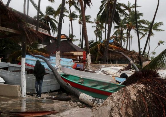
SANTO DOMINGO – As the 2026 Atlantic hurricane season transitions into its last 30 days of official cyclonic activity this Sunday, meteorological data confirms the season has produced just 10 named tropical systems to date, a trend driven largely by the persistent influence of the El Niño climate pattern that has drastically constrained storm formation across the basin. High-altitude water vapor satellite imagery from regional meteorological agencies, captured as the season enters its November closing window, shows minimal organized tropical convection across the main development region of the Atlantic, a stark contrast to historical average activity levels recorded over the past four decades. Of the 10 named systems tracked so far in 2026, only one escalated to full hurricane strength: Hurricane Isaias, which peaked as a powerful Category 3 storm before curving northward into the open central Atlantic, avoiding any direct landfall or disruptive impact on Caribbean island nations and coastal communities. This year’s final storm tally far outperformed the conservative 3 to 8 named storms projected by leading hurricane forecasters at the season’s outset, yet still falls well short of the 14 named storm threshold that defines a near-average Atlantic hurricane season. The 2026 season is now on track to mark the second consecutive below-average cyclonic cycle, following the 2025 season that logged only 13 named storms, also falling below the long-term activity benchmark. Running annually from June 1 to November 30, the Atlantic hurricane season’s unusually muted activity this year is directly tied to El Niño’s well-documented atmospheric effects: the climate pattern generates strong, cross-basin vertical wind shear that rips developing tropical disturbances apart before they can consolidate into sustained, rotating storm systems. Beyond suppressing Atlantic cyclone formation, the ongoing El Niño event is also driving extreme, divergent weather patterns across the Americas, triggering prolonged drought conditions in parts of Central America and the southern United States while dumping record levels of unseasonal heavy rainfall across sections of the Andean region and the southern Caribbean coast.