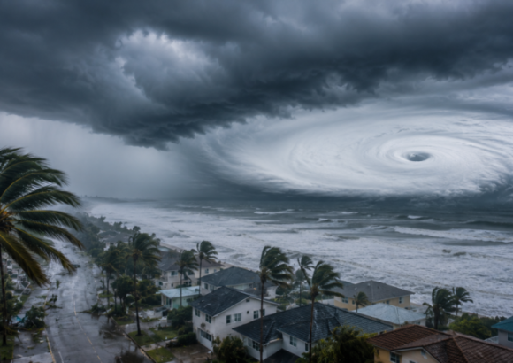
Located in the hurricane-prone Caribbean basin, the Dominican Republic is confronting a striking environmental paradox: the very protected natural areas that shield its communities from hurricane and tropical storm damage are themselves the most vulnerable to repeated cyclonic impacts, new government analysis reveals.
A comprehensive mapping study published by the Dominican Republic’s National Statistics Office (ONE) tracks the overlap between the country’s National System of Protected Areas and historical cyclone tracks spanning 1990 through projected 2025 pathways. The findings show that key conservation zones have accumulated exposure to as many as 20 separate cyclonic events over the 35-year period, creating urgent new challenges for ecosystem conservation and proactive disaster management.
Protected areas across the Dominican Republic deliver irreplaceable public and environmental benefits: they safeguard fragile native biodiversity, regulate regional freshwater supplies, prevent soil erosion, and broadly reduce the overall risk of extreme weather damage for adjacent populated areas. However, the majority of these conservation zones are intentionally sited in coastal, mountainous, and other ecologically sensitive landscapes—geographic features that also put them directly in the path of recurring tropical cyclones that form in the Caribbean.
The study’s most notable finding centers on the two most strictly protected conservation categories: Strict Protection Areas and Habitat and Species Management Areas. These zones, designed to preserve the country’s most vulnerable ecosystems and endangered species, recorded the highest cumulative exposure, with each category hit by 20 separate hurricanes or tropical storms over the study period. National Parks rank next with 15 recorded events, followed by Protected Landscapes at 12, Nature Reserves at 10, and Natural Monuments at six.
These statistics confirm that the country’s most environmentally valuable conservation territories are also consistently subjected to extreme weather events that can strip away critical vegetation cover and permanently alter the delicate natural conditions these areas are meant to protect.
ONE researchers explain that tropical cyclones trigger a cascade of harmful impacts in protected zones, including severe flooding, destructive landslides, accelerated coastal erosion, and widespread damage to native plant communities. These hits are disproportionately damaging in conservation areas, where even small ecological disruptions can erase decades of conservation progress for rare or endemic species.
The situation is uniquely pressing for the Dominican Republic, whose geographic position in the Caribbean places it directly along the annual migration path of tropical cyclone systems forming in the Atlantic Ocean. For this island nation, extreme weather is not a rare anomaly but a recurring seasonal reality that shapes all environmental planning.
Unlike many previous studies that focus on quantifying damage after individual cyclones, the ONE analysis takes a proactive approach: it does not set out to calculate harm from past storms, but instead maps the overlap between protected area boundaries and historical cyclone tracks to identify long-term exposure patterns. The goal of the work is to help conservation managers prioritize resource allocation for preventive protection that strengthens vulnerable ecosystems before storms hit.
ONE officials note that the data collected through this study will be a critical tool to improve national territorial planning, inform more effective conservation policy, and enhance broader national disaster risk reduction strategies. Ultimately, the analysis brings a long-unrecognized paradox into sharp focus: the natural ecosystems that act as the Dominican Republic’s first line of defense against extreme weather events are themselves in urgent need of additional targeted protection to survive the rising frequency and intensity of tropical cyclones linked to a changing climate.