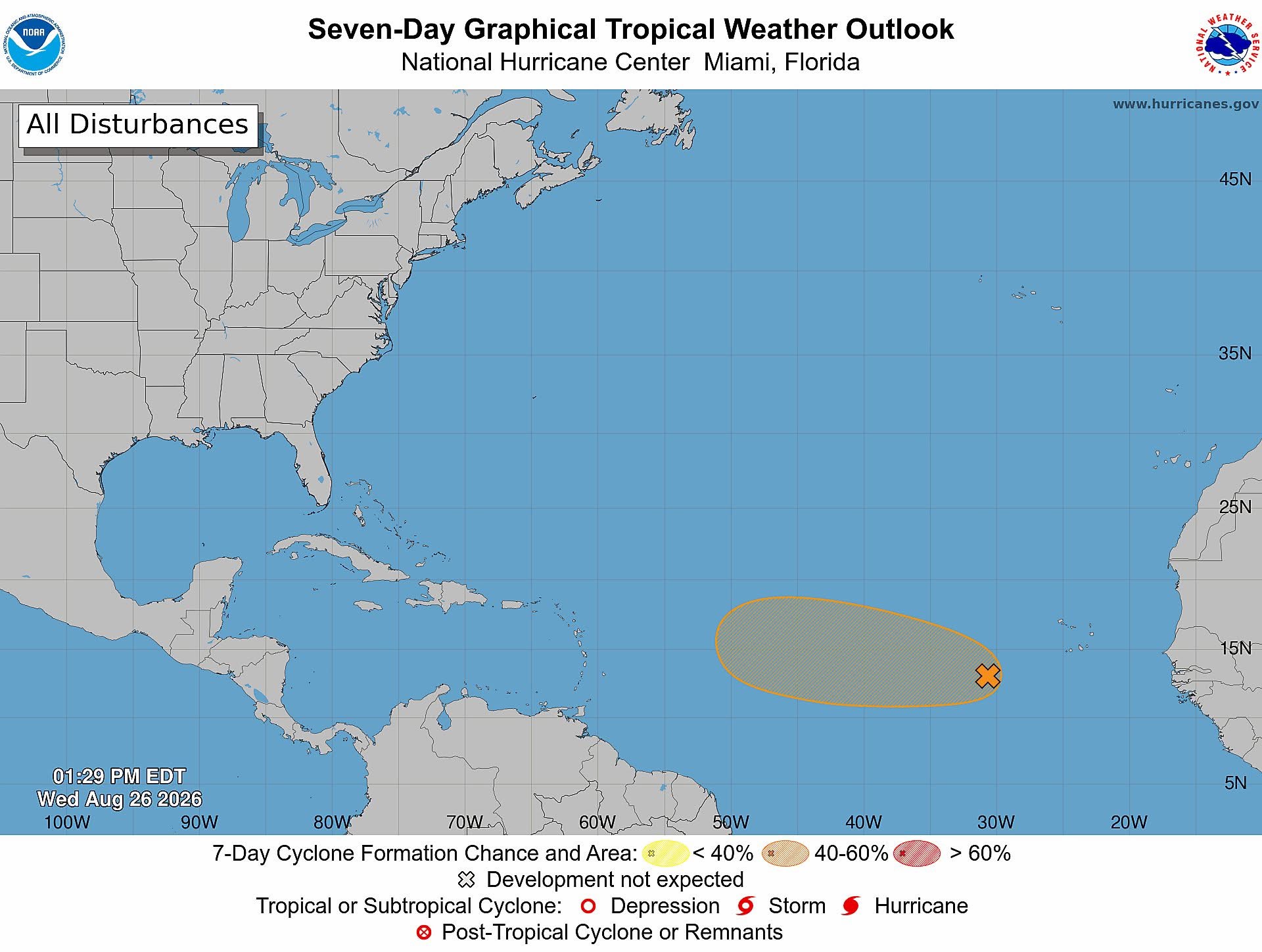
A developing weather system is currently under close observation by regional meteorological teams in the tropical Atlantic, hundreds of miles off the coast of the Cabo Verde Islands. The disturbance, which is tied to a tropical wave, has maintained a largely unorganized structure over recent hours, with only minimal shifts in the arrangement of its associated showers and thunderstorms.
Despite this lack of early organization, the surrounding atmospheric and oceanic conditions currently remain conducive to gradual strengthening. Forecasters note that the system could consolidate into a tropical depression as soon as over the next 48 hours. Right now, the system is tracking across the eastern and central portions of the tropical Atlantic, moving at a steady pace of roughly 20 miles per hour in a west to west-northwesterly direction.
The U.S. National Hurricane Center (which coordinates regional tropical weather monitoring) projects a 60% probability that the system will develop into a named tropical cyclone within both the next two days and the coming seven-day window. Looking ahead, however, forecasts indicate that conditions will turn less hospitable for further growth by the end of the week, which is expected to halt the system’s development potential. Meteorological teams have confirmed they will maintain continuous surveillance of the disturbance as it traverses the Atlantic basin, updating projections as new data becomes available.