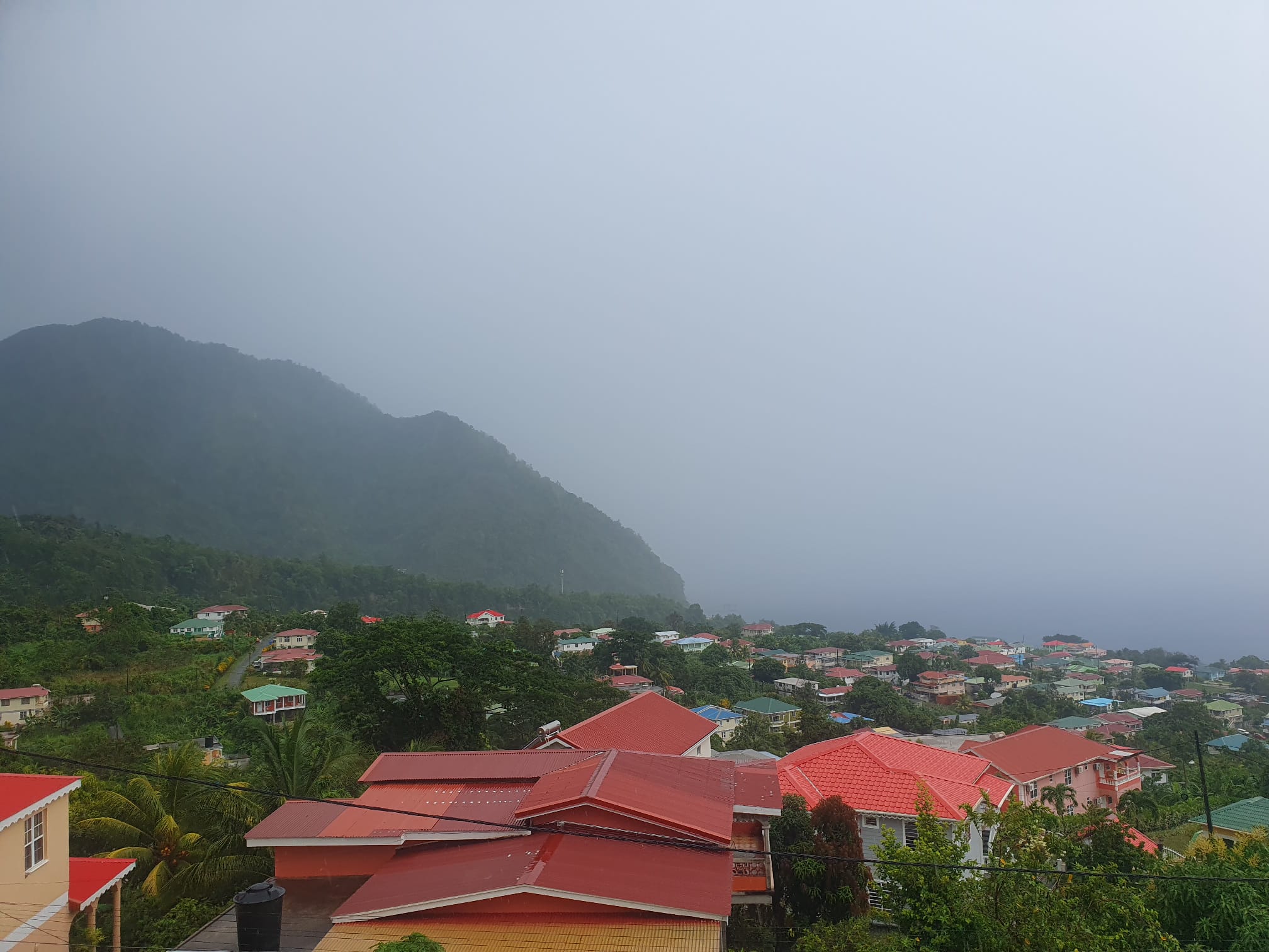
Dominica is facing ongoing severe weather impacts from an active tropical wave that will continue to affect the island nation through the overnight hours, with multiple weather warnings and safety advisories currently in place for local residents and mariners.
Forecasters warn the system will bring hazardous conditions including strong gusty winds, churning rough seas, and scattered pockets of moderate to heavy rainfall paired with thunderstorms, with the most intense activity expected during Thursday morning. To account for elevated flood and landslide risks, a Flash Flood Watch will remain active across the country until midday Thursday.
Emergency management officials have issued urgent guidance for residents to prioritize preparedness. Those living in low-lying or steep terrain areas that are historically vulnerable to flash flooding, landslides, and falling rock debris are instructed to stay constantly alert for changing conditions and enact all necessary precautionary measures. Additionally, residents have been told to secure any lightweight, loose outdoor items that could be lifted and turned into dangerous projectiles by the system’s strong gusts.
Marine conditions are expected to remain particularly dangerous through the coming days. Forecasts call for rough to extremely rough seas across Dominica’s coastlines, with wave heights expected to peak Thursday morning at roughly 10 feet along the island’s west coast and surge as high as 13 feet along the more exposed east coast. A Small Craft Warning remains enforced for all small vessels due to high winds and treacherous sea conditions, and will stay in effect until 6:00 a.m. local time Sunday. Mariners have been strongly advised to stay anchored in safe port until conditions improve.
Beyond marine workers, the general public has received clear guidance to avoid risky coastal activity. Officials warn people to stay far from beaches and zones where large breaking waves are crashing ashore, and anyone who lives near or travels along coastal roadways should maintain constant vigilance for unexpected rising water or debris.
In a separate update from the U.S. National Hurricane Center, forecasters are actively tracking a second tropical wave located in the central tropical Atlantic. The system currently carries a medium probability of developing into a named cyclone over the next seven days as it moves westward across the basin. Residents of the Lesser Antilles archipelago, including Dominica, and regional mariners are instructed to continue monitoring official weather updates from the Dominica Meteorological Service for any changes to the system’s track and intensity.