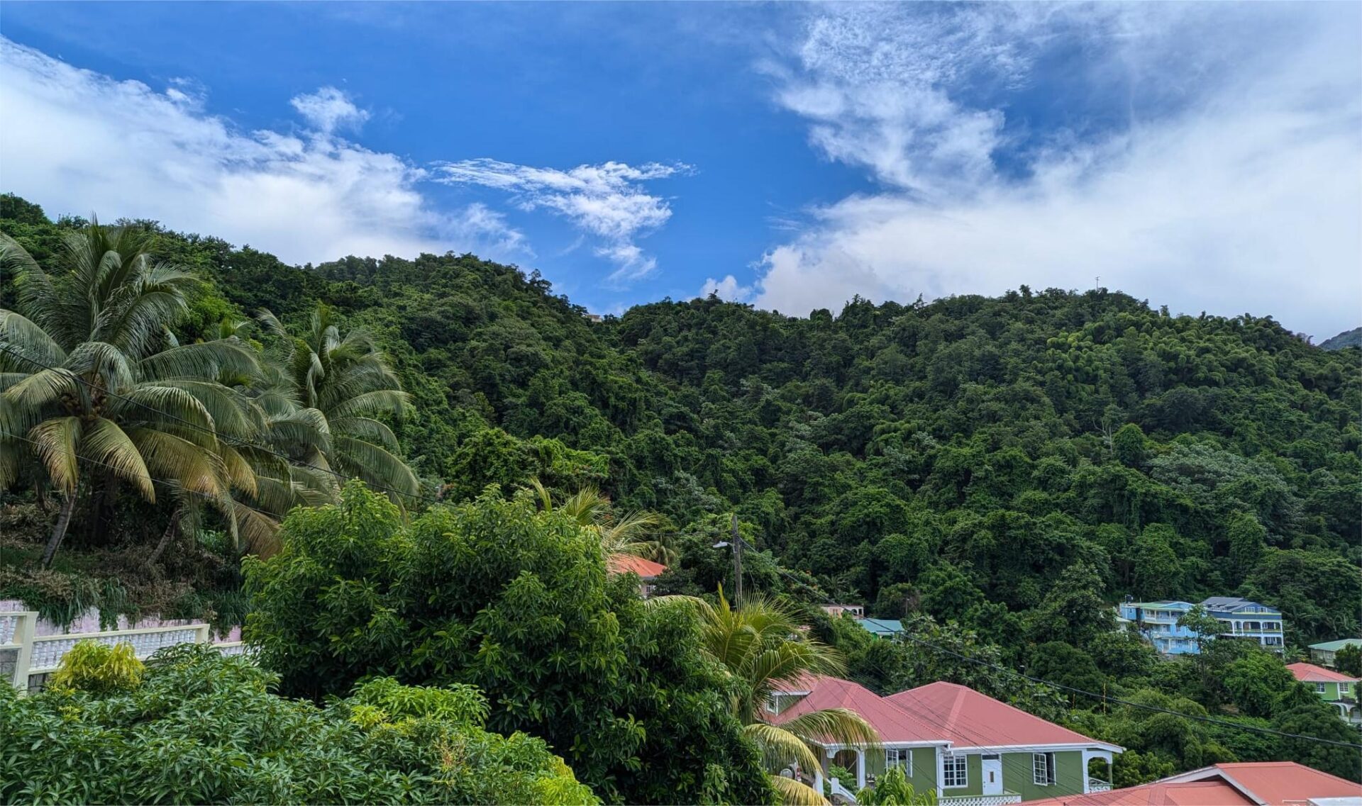
For residents of Dominica and the northern Lesser Antilles, stable atmospheric conditions are set to define the weather pattern over the next 12 to 24 hours, according to regional meteorological projections. A sprawling high-pressure system will hold sway across the area through the end of the day, bringing a mix of partly cloudy skies and consistent breezy conditions. While isolated, short-lived showers cannot be ruled out entirely, widespread precipitation is not expected during this period.
As the calendar flips to Sunday, the region’s weather profile will begin to shift. A low-level atmospheric trough is on track to push through the southern portion of the northern Lesser Antilles by early Sunday morning, injecting significantly higher levels of moisture into the local atmosphere. This increased moisture will translate to a marked uptick in the probability of shower activity during Sunday’s pre-dawn and early morning hours.
One key air quality trend unfolding through the forecast period is the fluctuating concentration of Saharan dust across the region. After several days of elevated dust levels that impacted air clarity, concentrations are expected to drop through today, delivering noticeable improvements to both regional air quality and overall visibility. Unfortunately, this improvement will be temporary: meteorologists project dust levels will begin climbing again by Sunday afternoon, bringing a return of hazy conditions.
Public health officials are reminding residents that the return of elevated Saharan dust poses specific risks for vulnerable groups. People living with asthma, seasonal allergies, and other chronic respiratory conditions are urged to maintain proactive precautions, such as limiting extended outdoor exposure when dust levels are high, carrying necessary rescue medication, and monitoring symptoms closely to avoid preventable health complications.
For coastal and marine activities, conditions will remain manageable through the next day. Sea states are forecast to stay between slight and moderate across most local waters. Wave heights will vary significantly by coastline, with maximum swells reaching roughly 3 feet along the more sheltered western coast. Along the exposed eastern coast, waves are expected to build to up to 7 feet, creating choppier conditions that mariners and recreational beachgoers should plan for accordingly.