KINGSTON, Jamaica — Ahead of two major global ocean conservation events this June, a coalition of environmental groups has released an alarming new report detailing how planned offshore oil and gas exploration along Jamaica’s southern coast puts nearly all of the island nation’s most ecologically and economically vital marine ecosystems at severe risk.
Produced by environmental research organization Earth Insight in partnership with the Jamaica Environment Trust (JET) and 10 other global civil society groups, the report *Fossil Fuel Threats to the Ocean: Marine Life and Coastal Communities at Risk* leverages geospatial mapping to document the full scope of overlapping risk between the proposed Walton-Morant exploration block and Jamaica’s protected marine resources. The analysis was released as part of a larger global study examining ocean threats from fossil fuel development across 11 countries including Kenya, Indonesia, Mexico, and Australia.
The Walton-Morant block, located off Jamaica’s south coast, is classified as the country’s most promising untapped hydrocarbon reserve. While exploration activities are still in the early preliminary phase, the report’s geospatial analysis confirms that the entire project’s risk footprint overlaps with 11,070 square kilometers of Ecologically or Biologically Significant Marine Areas (EBSAs) — an expanse nearly matching the entire land area of Jamaica. This accounts for roughly 18 percent of all EBSAs located within Jamaica’s exclusive economic zone.
Breakdowns of the risk assessment reveal just how comprehensive the threat is: 99 percent of Jamaica’s southern coral reefs and 97 percent of southern seagrass beds fall within the exploration block’s risk zone. Both habitats form the foundational backbone of the island nation’s key coastal industries: commercial and artisanal fishing, and nature-based tourism. Additionally, 62 percent of Jamaica’s total marine and coastal protected areas, covering 1,680 square kilometers, and 62 percent of the country’s key biodiversity zones (1,900 square kilometers) sit within the mapped high-risk area.
Major sensitive sites at risk include the Pedro Bank, Jamaica’s primary commercial fishing ground, which alongside the Pedro and Morant Cays falls entirely within the risk zone. The Portland Bight Protected Area, a Ramsar-listed wetland of international importance and one of Jamaica’s largest marine conservation zones, is also located inside the block’s footprint. This protected area is home to multiple globally threatened species, including the endemic Jamaican iguana, hawksbill sea turtles, and American crocodiles.
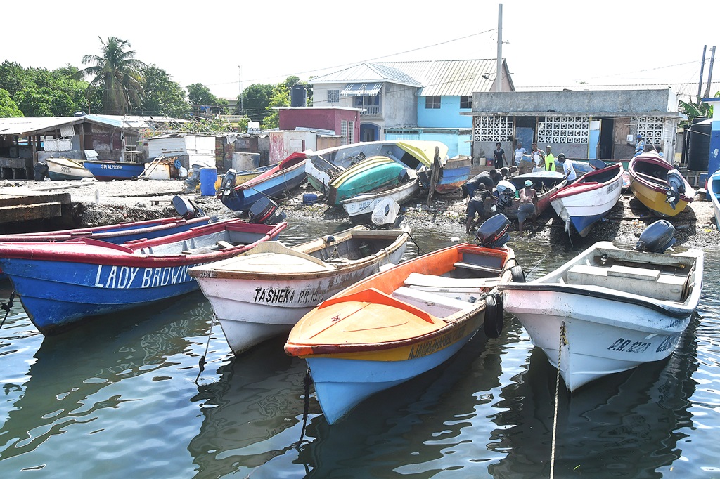
The threat extends beyond biodiversity to the livelihoods of tens of thousands of Jamaican people. Multiple south coast fishing communities centered in towns including Port Royal, Old Harbour Bay, Rocky Point, Alligator Pond, and Treasure Beach rely entirely on the nearshore and offshore fishing grounds now covered by the exploration risk zone. Even preliminary exploration activities such as seismic surveys can disrupt fish populations, while potential drilling discharges or a major oil spill would permanently contaminate seafood supply chains that support thousands of households. Popular tourism destinations along the southern coast, including Hellshire Beach, Treasure Beach, and the Whitehouse coast, also face major risk: oil pollution or coastal industrial development linked to the oil project would damage both luxury resort operations and small-scale community-led tourism ventures that are critical to local economies.
Jamaica’s marine ecosystems are already coping with multiple cumulative stressors, including rising ocean temperatures and acidification linked to climate change, plastic and nutrient pollution, and overfishing, JET CEO Dr. Theresa Rodriguez-Moodie emphasized in a statement accompanying the report’s release. While offshore activity is currently limited to the exploration stage, she warned that preliminary approvals for this project would clear a path for full-scale fossil fuel extraction in the heart of Jamaica’s most valuable marine landscapes.
“Instead of pushing for oil and gas expansion, we must focus on protecting our oceans and investing in healthy ecosystems, resilient communities and sustainable livelihoods,” Dr. Rodriguez-Moodie said.
The global component of the report paints a similarly worrying picture for ocean ecosystems worldwide. Across all 11 case study regions analyzed, researchers found that 38 percent of global coral reefs, 18 percent of seagrass meadows, 29 percent of mangrove forests, and 27 percent of marine and coastal protected areas are located within existing oil and gas exploration or extraction risk zones. Half of all globally identified important marine mammal habitats are directly overlapped by active or planned fossil fuel development blocks.
To address this growing global threat, the report puts forward a clear set of policy recommendations: it calls on national governments, global financial institutions, and international regulatory bodies to immediately halt the approval of new licenses, permits, and funding for all offshore and coastal oil, gas, and liquefied natural gas (LNG) projects located within or adjacent to protected areas, key biodiversity zones, EBSAs, and critical coastal habitats including coral reefs, mangroves, and seagrass meadows.
The report’s publication comes just days ahead of World Oceans Day on June 8, and the upcoming Our Ocean Conference, a high-profile global summit on ocean conservation taking place June 16-18 in Mombasa, Kenya.