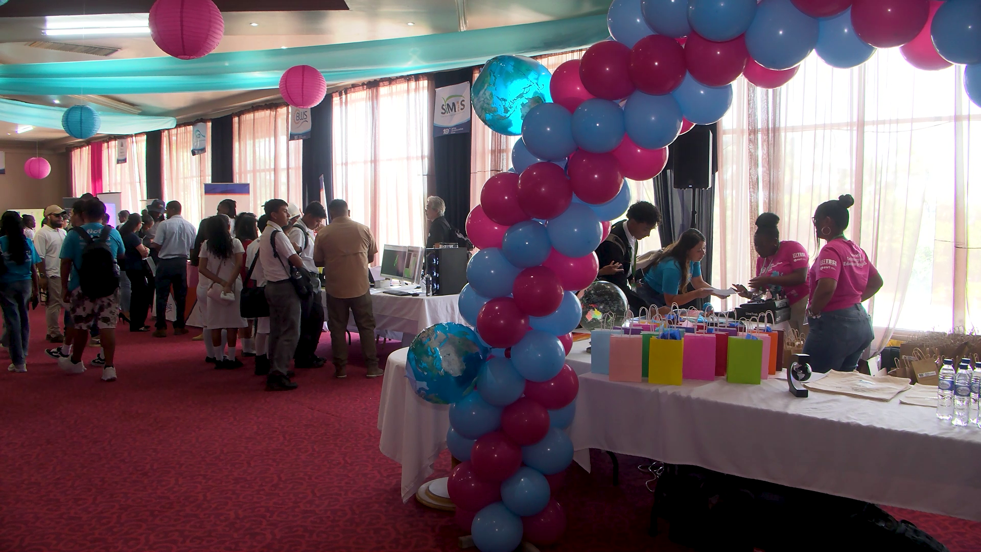
In a transformative shift for education across Belize, the 10th annual GeoEducation Expo opened this week, turning traditional textbook-based geography learning into an immersive, hands-on experience that connects students directly to the cutting-edge geospatial tools driving global industries. For 15 years, organizer Total Business Solutions Limited (TBSL) has worked to integrate geospatial skill-building into mainstream education, overcoming obstacles including the COVID-19 pandemic and frequent hurricane disruptions to reach this decade-long milestone of the public expo.
This year’s event drew participants from 30 schools spanning the entire nation, from northern Belize to Punta Gorda in the south. Unlike traditional classroom settings where students memorize map locations, the expo invites learners to interact directly with geographic data, testing tools that professionals rely on every day for urban planning, business development, environmental conservation, and public policy. Attendees got practical experience flying survey drones, testing Geographic Information System (GIS) mapping software, exploring Belize’s natural landscapes via virtual reality (VR), and engaging with interactive displays built by partners from both the public and private sectors.
At the core of the event is GIS technology, a powerful platform that layers multiple sets of geographic data to uncover hidden patterns and relationships across landscapes, communities, and industries. In one of the most popular exhibits, TBSL experts digitized the exact paper maps students already use in their textbooks—including the *Atlas of Belize* and *Belize Facts and Figures*—to turn static pages into dynamic, interactive learning tools. “The exact same maps that are in some of the publications… we actually kind of recreated those so that students can actually be interactive,” explained Carmichael Ellis, Geospatial Solutions Manager at TBSL. “They could get to see the different relationships between those data sets, zoom in and get a real understanding of the topography of Belize and the social interactions between those different data.”
Beyond exploring pre-built digital maps, the platform gives students free access to build their own custom maps using real, up-to-date data shared by Belizean government agencies including the Forestry Department and the Statistical Institute of Belize. Users can toggle between layers to view rivers, watersheds, population demographics, and topographical features, and even add their own data layers using built-in sketch tools. As TBSL GIS Technician Jamel Tun noted, this free access to ArcGIS Online removes financial barriers for schools, putting professional-grade technology into the hands of learners regardless of their district’s resources. TBSL also highlighted MapMaker Atlas, another free tool for schools that was demoed at this year’s expo to expand classroom access long after the event closes.
For Belize’s Ministry of Education, the expo represents far more than a showcase of new technology—it is a catalyst for rethinking how students learn to problem-solve. Dian Maheia, Chief Executive Officer of the Ministry of Education, emphasized that the goal is to foster a new generation of curious, innovative critical thinkers. “I hope that they’re going to recognize the importance of really engaging, not just being viewers of technology, but looking at these maps, looking at the data that’s presented in different ways, and really thinking, like, what does that mean, and how could I use that, and maybe even more, ‘how can I create these sorts of things? How can I be innovative? How can I support?’” Maheia said. “We want our students to really become more scientific thinkers in that way… just questioning things and wanting to figure out how to make things better or how to use tools that are available to us.”
Organizers note that GIS is already integrated into nearly every sector of Belize’s economy, from election districting and tourism development to agricultural planning and national census data collection. By expanding free access to geospatial training in K-12 and secondary schools, the initiative aims to prepare students for high-skill careers that did not exist a generation ago, building a pipeline of homegrown innovators equipped to solve Belize’s most pressing 21st-century challenges with data-driven insight.