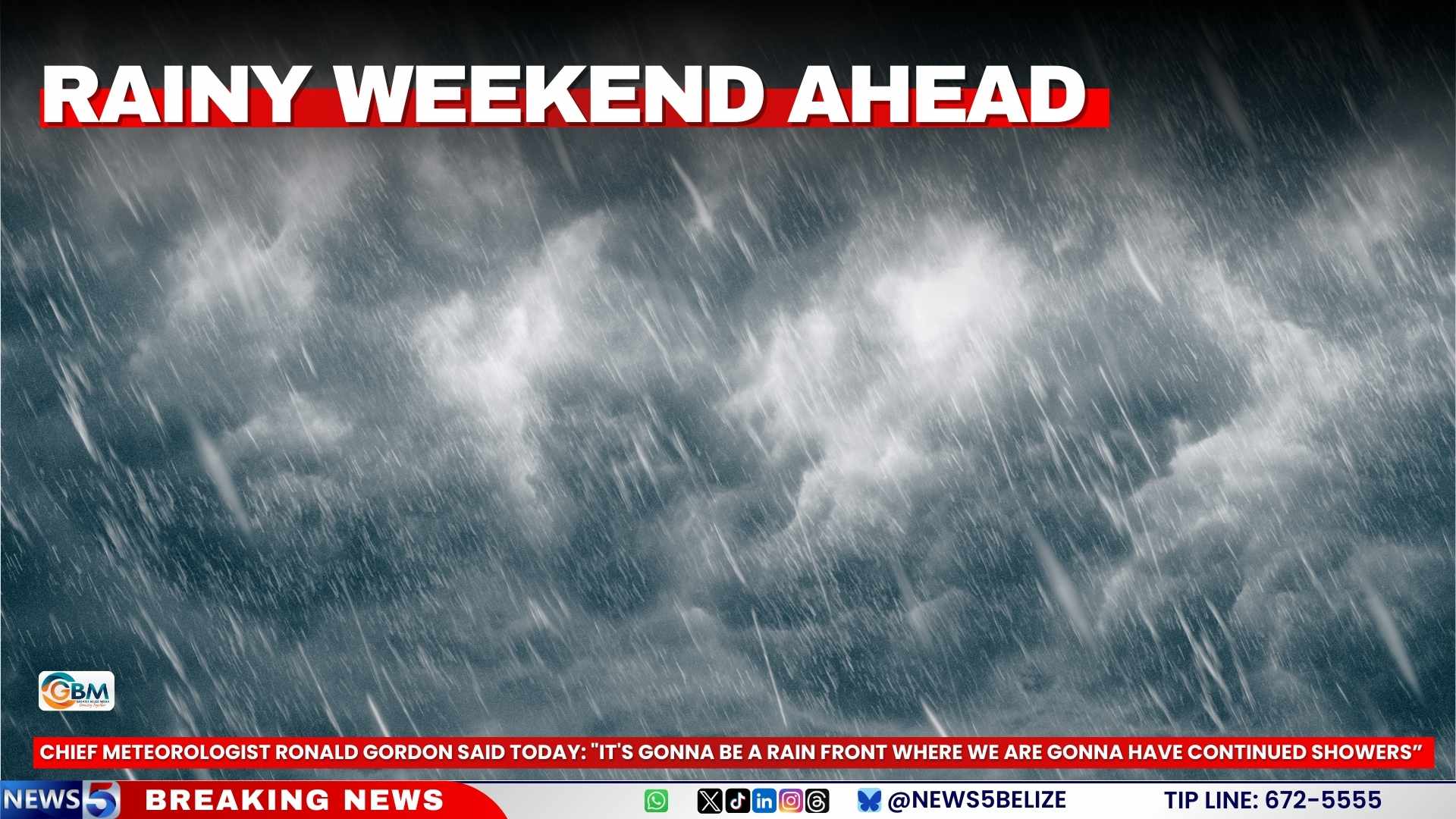
Meteorological authorities in Belize are forecasting a persistently rainy weekend as a stalled frontal system establishes itself over the nation. The system is expected to generate extensive rainfall and thunderstorms across multiple regions, prolonging wet conditions through Sunday.
Chief Meteorologist Ronald Gordon confirmed that a saturated northerly airflow has already precipitated substantial rainfall, particularly affecting central Belize. Preliminary data from weather monitoring stations indicates precipitation accumulations ranging from one to three inches in Belize City within the past 24-hour period. The community of Hattieville experienced significantly heavier downpours, registering between five and six inches as intense rainfall persisted through nighttime hours into early morning.
According to meteorological analysis, the approaching frontal boundary will remain nearly stationary over Belize during the coming days. Gordon elaborated on the atmospheric conditions: “A frontal boundary is currently approaching the area, preceded by a moisture-laden northeasterly airflow that is sustaining this coastal precipitation activity.” The forecaster further indicated that residents should anticipate “continued showers and potentially thunderstorms throughout Saturday extending into portions of Sunday.”
The precipitation pattern is projected to initiate across northern and central territories before propagating nationwide. The Meteorological Service indicates that gradual atmospheric improvement is anticipated to commence by Monday, suggesting a return to more typical weather conditions.
