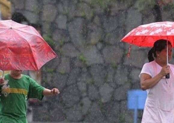
The Dominican Institute of Meteorology (Indomet) has released a detailed public weather outlook warning that a lingering atmospheric trough will drive unstable, storm-prone conditions across large swathes of the Dominican Republic this Sunday. The slow-moving weather system is generating heightened atmospheric turbulence, spurring expanded cloud formation and scattered precipitation across multiple national regions. Indomet meteorologists note that the combined effect of the trough’s positioning, intense daytime solar heating, and the country’s varied topographical features will create conditions ripe for rapid development of dense storm clouds, capable of unleashing torrential downpours, frequent thunderstorms, and sharp, unexpected wind gusts. Moderate to locally heavy rainfall is most likely to peak during the afternoon hours when daytime temperatures reach their highest point. The core areas expected to bear the brunt of the storm activity include the country’s northeast, southeast, and southwest coastal zones, plus sections of the southern slope of the Central mountain range. Officials are urging residents of Greater Santo Domingo to remain particularly vigilant for real-time weather updates, given the already elevated ground moisture levels left by consistent rainfall in preceding days, even though precipitation will not be evenly distributed across the entire national territory. Despite the increased rain activity, sweltering temperatures will persist nationwide through the weekend: maximum highs are projected to land between 32 and 34 degrees Celsius, with overnight lows remaining steady at 23 to 25 degrees Celsius. The combination of ongoing heat and high ambient humidity will push the perceived heat index to uncomfortable, potentially unsafe levels, especially during morning and midday hours. Indomet and the national Emergency Operations Center (COE) are cautioning the public to prioritize consistent hydration, avoid extended unprotected sun exposure during peak ultraviolet radiation windows, and take proactive safety steps to mitigate flood risks. Authorities are closely tracking high-risk zones prone to urban street flooding, river overflow, and sudden flash floods in small streams and ravines, where accumulated rainfall from recent days has already raised water levels significantly. The agency has kept active weather advisories in place for multiple provinces since Saturday, and is urging all residents to verify the latest official alerts before making any outdoor travel plans. Communities situated directly adjacent to rivers, streams, and other bodies of water are strongly advised to never attempt to cross waterways with visibly elevated flow rates, while drivers are being told to exercise heightened caution on roadways where standing water may have pooled unexpectedly. For residents and tourists planning leisure trips to beaches, rivers, or mountain resorts this Sunday, Indomet recommends checking local on-site weather conditions before departing, as brief periods of clear sunshine may be interrupted without warning by fast-moving thunderstorms. If lightning or active storm activity is detected, all aquatic recreational activities should be suspended immediately, and all individuals should move to secure, enclosed shelter until conditions improve. The national meteorological agency confirms it will maintain 24/7 monitoring of the trough’s movement and evolving local weather conditions, issuing timely updates to the public as new data becomes available.