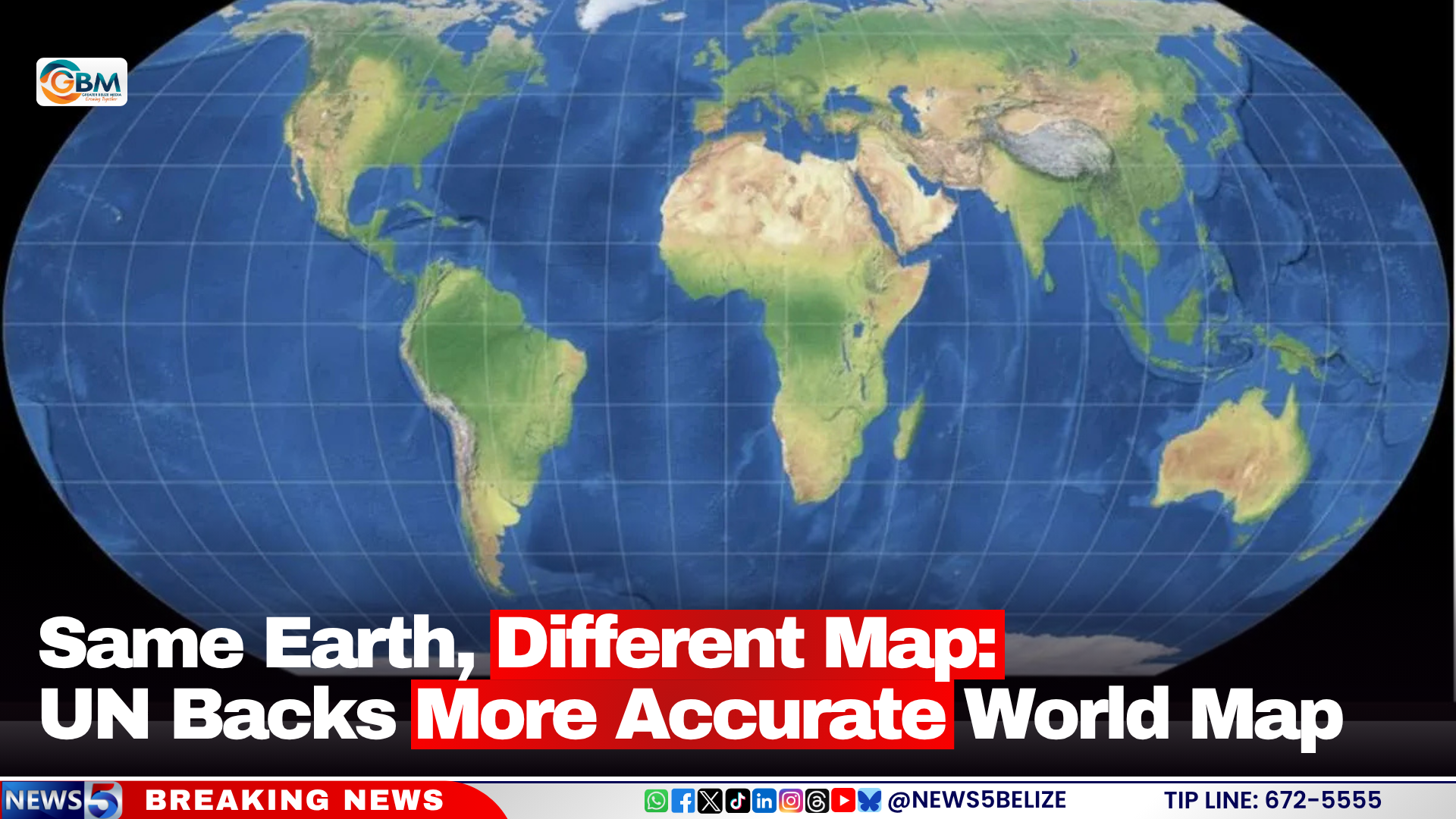
For hundreds of years, the Mercator projection has shaped how billions of people around the world visualize the continents and countries of our planet. But that long-standing visual narrative is poised for a shift, after the United Nations General Assembly took a historic step last week to back a far more geographically accurate alternative: the Equal Earth projection.
The resolution, which earned approval from 164 UN member states, marks a landmark push to correct long-held geographic misconceptions rooted in the design flaws of the Mercator map. The United States was the only nation to vote against the measure, while six additional countries chose to abstain from the vote.
First developed by a team of cartographers in 2018, the Equal Earth projection was engineered specifically to address one of the Mercator’s most significant distortions: its systematic misrepresentation of landmass size relative to actual geographic area. Unlike the new projection, the Mercator, originally created in the 16th century to assist maritime navigators, stretches land masses at higher latitudes, making regions far from the equator appear far larger than they actually are, while shrinking equatorial nations and continents.
The most striking example of this distortion can be seen when comparing Africa and Greenland. On a standard Mercator map, the two landmasses appear to be roughly comparable in size. In reality, Africa is approximately 14 times larger than Greenland — a difference that becomes immediately clear when viewed through the Equal Earth projection. This distortion has contributed to widespread underappreciation of Africa’s geographic scale, global significance, and demographic weight for generations.
Critically, the UN resolution does not mandate immediate adoption of the Equal Earth projection by national governments or private institutions. Instead, it issues a broad call to action, encouraging educational systems, governments, international bodies, media outlets, and global technology companies to voluntarily shift toward more accurate representations of the world’s land masses in their materials and products.
While the transition will be gradual, the impact of this decision is expected to ripple across multiple sectors over time. From classroom textbooks used by primary and secondary students to digital mapping platforms operated by major tech companies, the new projection could eventually reshape how current and future generations understand global geography. West African nation Togo, which spearheaded advocacy for the resolution, has already announced plans to hold follow-up discussions with the African Union, UNESCO, and major technology firms to outline a roadmap for regional implementation of the new map standard.