The World Meteorological Organization (WMO) has issued a stark new warning that the ongoing El Niño event is strengthening far faster than initial projections, with high confidence it will intensify into a historic, very strong weather pattern by the end of 2026 that elevates the threat of destructive extreme weather across every inhabited continent.
In a formal forecast update published Thursday, the WMO revealed that climate models show a near-100% chance El Niño will hold its influence through February 2027 — an almost unprecedented level of certainty for long-range seasonal climate outlooks.
This recurring climate pattern, defined by anomalous warm ocean surface temperatures in the central and eastern tropical Pacific, is already being driven by ocean waters that have reached far above average warmth. The WMO’s latest projections indicate the event will continue to gain intensity over the coming months, with its peak strength likely to arrive between November and December 2026.
WMO Secretary-General Celeste Saulo emphasized that current trajectory puts the event on track to become exceptionally strong, noting that if current warming trends in the tropical Pacific hold, it could surpass the intensity of any El Niño event recorded since the organization began systematic global climate monitoring decades ago.
A powerful El Niño event reshapes global atmospheric circulation, triggering major shifts in typical rainfall and temperature patterns across the globe. This disruption dramatically increases the probability of simultaneous extreme weather events, including prolonged droughts, catastrophic flash flooding, and record-breaking heatwaves across different regions worldwide.
The upcoming event also carries specific risks for Caribbean nations, though the WMO was careful to note that the overall strength of El Niño does not directly dictate the severity of local impacts in individual countries. Regional sea surface temperatures in the Atlantic Ocean and other independent climate drivers can amplify, dampen, or even redirect the typical weather shifts associated with El Niño, meaning local preparedness planning remains critical regardless of global intensity projections.
For the September-to-November 2026 period, the WMO’s outlook confirms a sharply elevated chance of above-average temperatures across nearly all global land masses. The tropical Atlantic is also projected to stay warmer than the long-term seasonal average through the end of the year, adding another layer of climate influence for Atlantic basin nations.
To reduce the risk of avoidable loss of life and property, the WMO is calling on national governments and local meteorological agencies around the world to ramp up continuous monitoring of regional and national climate forecasts, and to invest in early action and improved preparedness for potential climate-related hazards that may arise from the event.
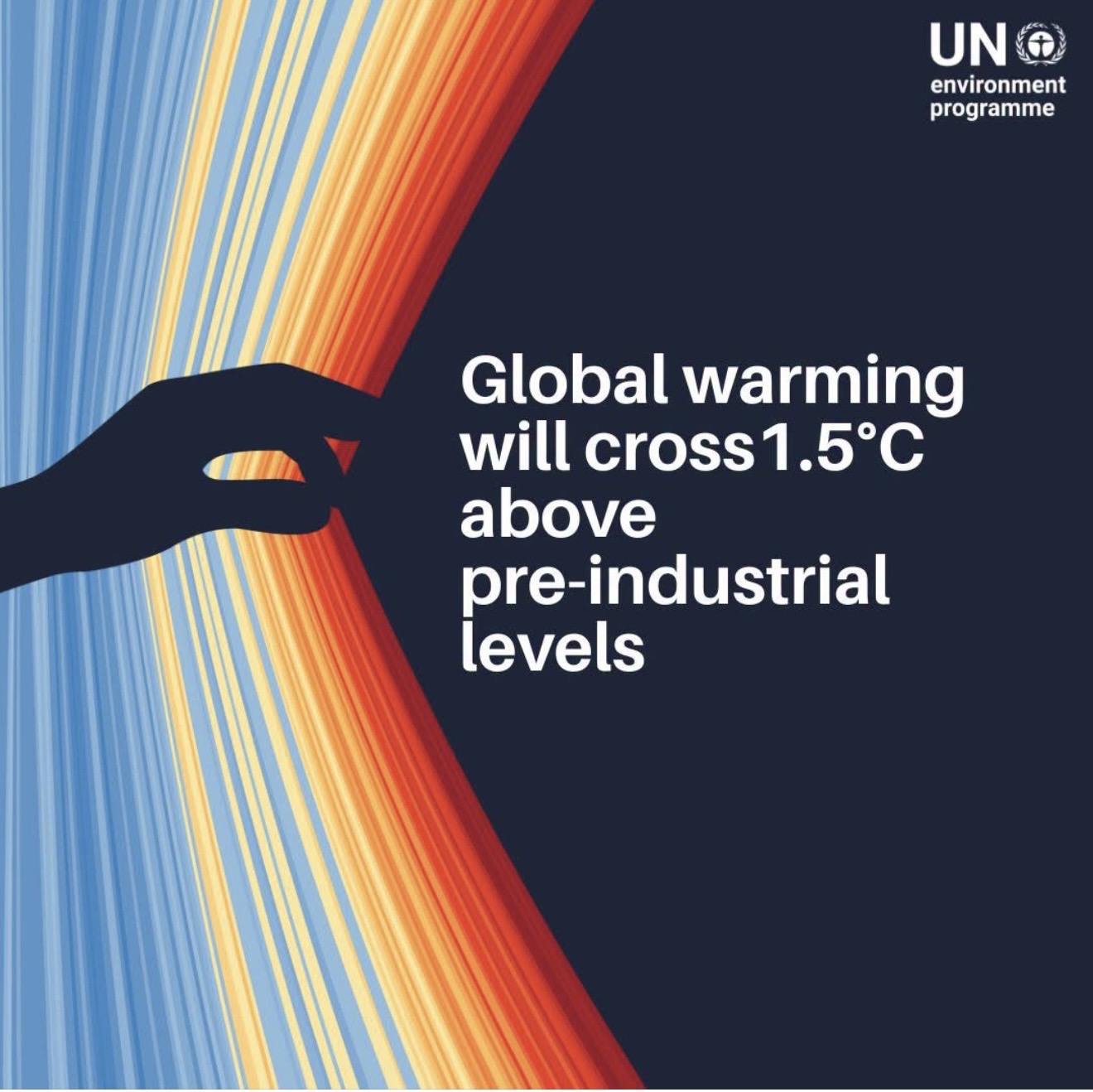
In a clarification of the event’s origins, the organization stressed that El Niño is a naturally occurring periodic climate phenomenon, and is not directly caused by human-driven climate change. Even so, its impacts are unfolding against the backdrop of long-term global warming, which can amplify the severity of heatwaves and other extreme weather tied to the event.