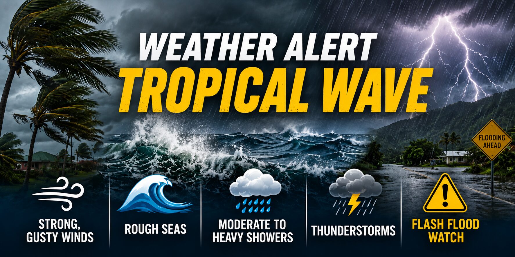
Dominica is bracing for the arrival of a strong tropical wave that is set to bring hazardous weather conditions to the island nation starting Thursday night, with impacts persisting through the entire weekend. Meteorological officials warn that the system will trigger a series of dangerous conditions, including powerful gusty winds, churning rough seas, and widespread pockets of moderate to intense rainfall paired with severe thunderstorms.
In anticipation of flash flood risks triggered by sustained heavy precipitation, authorities are preparing to activate a Flash Flood Watch starting at midnight. Emergency management officials have issued urgent guidance to residents who make their homes in low-lying or high-risk zones vulnerable to flooding, landslides, and rockfalls: stay constantly alert to changing conditions and implement all recommended safety precautions to protect life and property. For anyone living in exposed areas, securing loose outdoor items that could be picked up and launched as dangerous projectiles by high winds is listed as a top priority.
Alongside the incoming tropical weather, Dominica is still clearing residual high levels of Saharan dust, though forecasters project that dust concentrations will slowly diminish through Saturday. Even as levels drop, people with pre-existing respiratory sensitivities or allergies to airborne particles are reminded to continue taking protective measures, such as limiting prolonged outdoor exposure. For mariners operating near the island, reduced visibility from lingering dust remains a major hazard, and officials urge all seafarers to ensure fully functional navigation devices are on board for all voyages.
Sea conditions are already deteriorating across the island, with forecasters reporting moderate swells through the day of the announcement. On the island’s west coast, waves are forecast to top out at 5 feet, while the more exposed east coast is already seeing waves reaching 8 feet. A Small Craft Advisory is currently in effect across all coastal waters due to the combination of rising winds and building seas, with conditions expected to worsen dramatically overnight. By early Friday morning, swells on the east coast are projected to peak near 13 feet, while west coast waves will climb to roughly 8 feet, prompting officials to urge all mariners to complete preparations for extremely dangerous open water conditions before nightfall.
In a separate development that bears watching across the Caribbean region, the U.S. National Hurricane Center is currently tracking a second tropical wave located in the central tropical Atlantic. Forecasters have assigned this system a medium probability of strengthening into a larger organized tropical cyclone over the next seven days. As monitoring continues, all residents and maritime operators across the Lesser Antilles chain, including Dominica, are advised to regularly check for updated forecasts and safety guidance from the Dominica Meteorological Service.