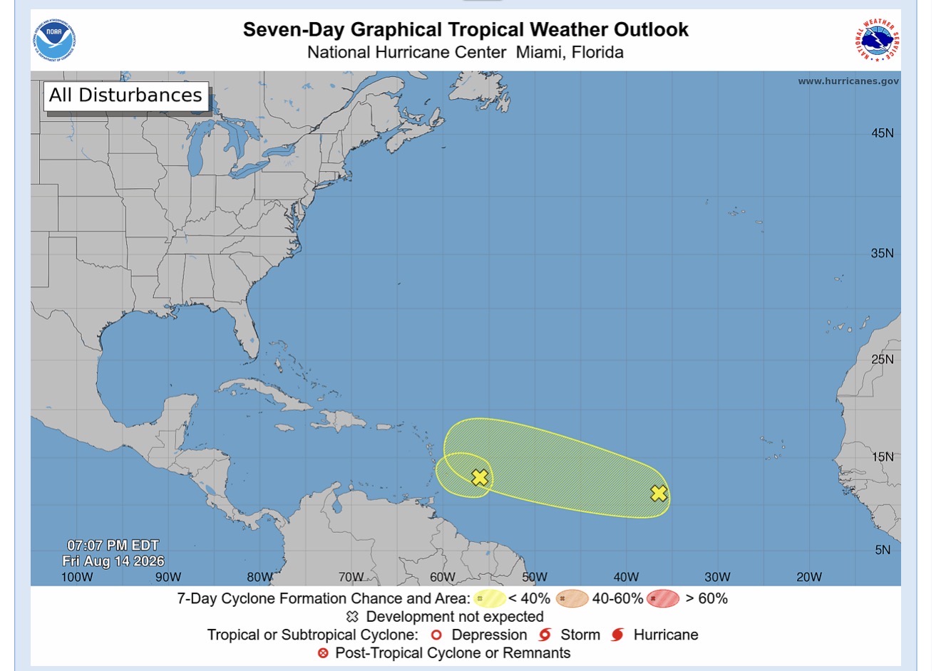
Meteorological officials confirm that no tropical cyclone watches or warnings are currently needed across the Eastern Caribbean, as unfavorable atmospheric conditions have drastically reduced the odds of tropical disturbance AL92 strengthening into a named storm.
In line with this updated assessment, the Antigua and Barbuda Meteorological Service has formally ended the tropical cyclone alert that was previously in place for the Leeward Islands and British Virgin Islands, easing concerns of a significant storm impact for the region.
Though major development is off the table, the lingering disturbance is still projected to track westward to west-northwestward over the coming 24 to 36 hours, bringing a noticeable uptick in wet, blustery weather to affected coastal areas. Forecasters estimate total rainfall accumulations between 0.5 and 2 inches across affected zones, a precipitation level that could trigger minor flash flooding in vulnerable low-lying communities. Wind gusts associated with the system are expected to top out near 40 mph, while choppy offshore seas will peak between 8 and 12 feet through the duration of the event.
To prepare for these hazardous conditions, a high wind advisory and small craft warning will go into effect across the region starting at 5 p.m. local time on Friday. The meteorological service has issued clear guidance for local residents and mariners: those on land should take time in advance to secure any loose, lightweight outdoor items that could become dangerous projectiles in gusty conditions, while boaters and small vessel operators are advised to stay in protected harbors until the warnings are lifted.
Meteorological teams will maintain continuous surveillance of the disturbance’s track and intensity, and will release updated public advisories promptly if any changes to the forecast require new safety precautions.