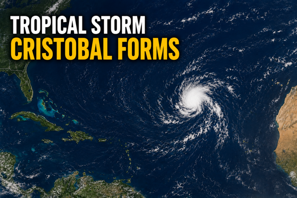
The 2026 Atlantic hurricane season has marked its third named system, as Tropical Storm Cristobal officially formed over the central subtropical Atlantic on Wednesday. According to the latest official update from the U.S. National Hurricane Center (NHC), released in its 3 p.m. GMT advisory, the newly formed storm carries maximum sustained winds of 45 miles per hour, with gusts that reach even higher speeds.
As of the advisory’s publication, the storm’s center was positioned approximately 880 miles west of the Azores archipelago, at coordinates 36.7 degrees North latitude and 43.0 degrees West longitude. Cristobal is currently tracking eastward at a fast clip of 25 miles per hour, though forecasters project a shift in trajectory and speed over the coming hours. The NHC predicts the storm will curve toward the east-northeast and decelerate through Wednesday and into Wednesday night.
One of the most critical takeaways from the NHC’s update is that Cristobal poses no immediate danger to any coastal or inland landmasses. No coastal watches or warnings are currently in effect, and the agency has not identified any hazards that will impact populated or terrestrial areas. Tropical-storm-force winds extend only 90 miles outward from the storm’s center, all of which remain over open ocean waters.
Meteorologists also expect Cristobal to be a short-lived weather system. The NHC’s forecast trajectory calls for gradual weakening starting in the near term, with the entire system expected to fully dissipate sometime on Thursday. As of Wednesday’s midday advisory, the storm’s minimum central pressure was measured at 1008 millibars. The next full public update on Cristobal’s status and track is scheduled to be released at 9 p.m. GMT Wednesday.