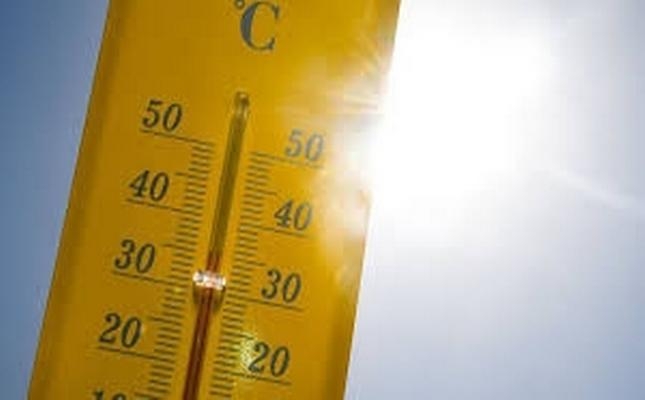
As communities across North America, Europe and the Caribbean grapple with ongoing record-breaking heatwaves and growing climate disruption, the World Meteorological Organization (WMO) has issued a stark warning: intensifying El Niño conditions are set to shape global weather patterns through at least the end of October 2026, raising the probability of widespread above-average temperatures and severe disruptions to global rainfall cycles.
The updated advisory arrives at a moment when extreme heat is already battering multiple regions, with parts of the U.S., Canada, France, Germany and Italy hitting all-time or near-record high temperatures. This relentless heat has in turn sparked extensive wildfires that have claimed lives and destroyed vast swathes of land across several continents.
In its latest official El Niño outlook published in August 2026, the WMO confirmed that the climate pattern will continue gaining strength through the August–October 2026 window. “El Niño is expected to dominate global climate patterns in the August-October 2026 season, increasing the likelihood of above-normal temperatures across much of the world and driving significant shifts in rainfall patterns,” the agency stated.
WMO experts added that the strengthening El Niño, when combined with already abnormally warm global ocean temperatures and the forecast formation of a positive Indian Ocean Dipole, will amplify weather disruptions across the globe in the coming months. The resulting rainfall pattern aligns with the traditional El Niño signature: some regions will face far wetter conditions than average, while many others will see a sharp jump in drought risk.
Top climate forecasting centers from around the world project that seasonal average sea surface temperature anomalies in key El Niño monitoring zones will surpass 2.9°C. Alongside this, a positive Indian Ocean Dipole—where western Indian Ocean waters warm beyond average while eastern Indian Ocean waters cool— is also on track to develop. Combined, these interconnected climate drivers will drastically increase the likelihood of drought, flooding and wildfires, especially across the Indian Ocean Basin. Meanwhile, tropical Atlantic sea surface temperatures are also predicted to stay well above long-term averages.
For Caribbean nations, the forecast has prompted urgent calls for preparation, as many territories have already recorded months of below-average rainfall. Governments and residents are being urged to enact early water conservation measures to avoid a full-blown water security crisis.
In the Federation of St. Kitts and Nevis, officials have already activated a national drought watch, implementing restrictions on non-essential water use including garden watering and vehicle washing with hoses to protect shrinking reservoir supplies. Senior Meteorological Officer Elmer Burke told reporters in a June press briefing that rainfall across the country has fallen drastically short of long-term averages.
“As we know, St. Kitts and Nevis, similar to other Caribbean countries, have been facing impacts of drought for the past few months to varying degrees,” Burke explained. “Based on rainfall totals observed at the RLB International Airport up to the end of May, we have recorded 8.66 inches of rainfall compared with our long-term average of 15.5 inches for the same period. That represents a deficit of 6.84 inches, meaning the Federation has received only about 56 per cent of its normal rainfall through the end of May, based on climatological data from 1990 to 2020.”
The dry trend worsened through June, when just 0.05 inches (1.3 millimetres) of rain was recorded at RLB International Airport—far below the typical June average of 3.41 inches. Burke warned that even though the Atlantic hurricane season can bring heavy rain events, these isolated downpours are unlikely to reverse the overall dry pattern gripping the region.
“We are not saying that there won’t be any heavy rainfall events during the hurricane season, but based on the major climatic drivers, the overall trend is for below-normal rainfall across the region during this period,” he said. If dry conditions persist, the country could be forced to implement formal water rationing to protect critical supplies.
El Niño is a naturally occurring climate cycle that emerges every two to seven years, typically lasting between nine and 12 months. It generally begins forming between March and June, peaks between November and February, and exerts its strongest influence on global temperatures in the year after it first develops.
The severity and impacts of each El Niño event vary based on a range of factors, including its strength, duration, timing, and how it interacts with other climate systems such as the Indian Ocean Dipole. While some regions gain extra rainfall, others face extended dry spells and elevated wildfire risk. It is important to note that extreme weather events can also occur during neutral ENSO (El Niño-Southern Oscillation) conditions. The WMO classifies El Niño events as weak, moderate, strong or very strong; while the term “super El Niño” is widely used in public discourse, it is not part of the organization’s official classification framework.