An active tropical wave is progressing westward across the Lesser Antilles on a recent morning, bringing unsettled weather conditions to the southern Eastern Caribbean, according to an official update from the Meteorological Services MBIA and Grenada Airports Authority (GAA).
Positioned this morning, the core axis of the weather system stretches from inland eastern Venezuela to 19°N latitude, and currently sits near 61°W longitude, moving steadily west at speeds between 10 and 15 knots. Scattered clusters of moderate convection have been tracked across the region spanning from 9°N to 18°N latitude, between 54°W and 68°W longitude. As the tropical wave’s axis moves directly across the island state of Grenada, moist air masses and atmospheric instability tied to the system are driving widespread showers and thunderstorms across nearby areas of the southern Eastern Caribbean.
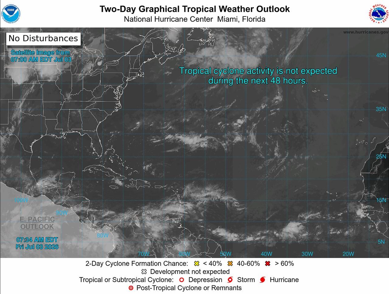
In response to these conditions, local authorities have issued a low-level warning for potential flash floods and landslides across the affected region. For the wider tropical North Atlantic Ocean, Caribbean Sea, and Gulf of Mexico, no additional tropical cyclone activity is forecast to develop over the next 48 hours. The next official weather update on the system is scheduled to be released at 2 p.m. local time.
This weather report is published in partnership with NOW Grenada, which notes it does not take responsibility for opinions, statements, or third-party contributed content shared on its platform. Users can report abusive content through designated reporting channels.