As the Atlantic hurricane season enters its most dangerous three-month window, regional climate scientists have issued a stark warning that Barbados and dozens of other Caribbean nations face an elevated threat of destructive flash flooding and interconnected climate hazards through September, driven by three key factors: above-average rainfall, rapidly warming regional ocean waters, and a strengthening El Niño weather pattern.
The latest quarterly outlook released by the Caribbean Climate Outlook Forum (CariCOF) covers the July-to-September period and includes a full suite of targeted projections, ranging from temperature and precipitation maps to assessments of drought risk, dry and wet spell frequency, flash flood potential, heat stress, and even a long-range forecast for the 2026 Atlantic hurricane season.
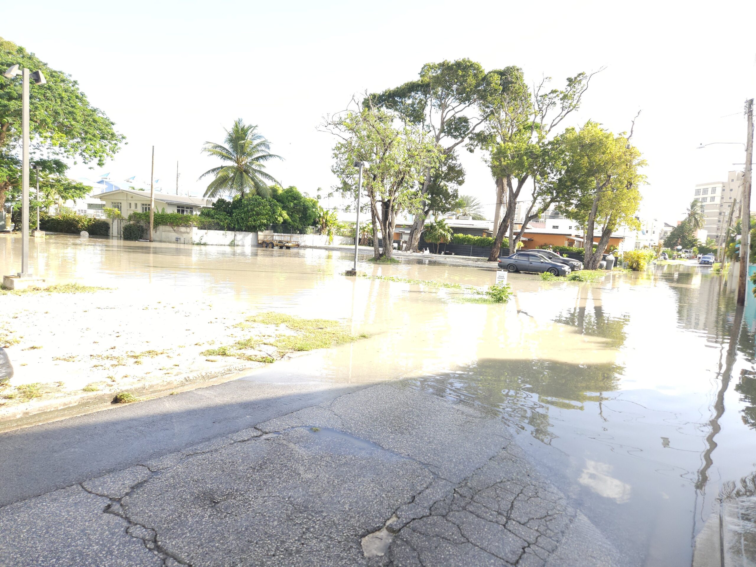
In its official analysis, CariCOF noted that El Niño continues to intensify through the summer months of the Caribbean’s annual wet season, while ocean temperatures across the region have climbed steadily. This combination sets the stage for frequent extreme rainfall events, which in turn creates high to extremely high risk for flash flooding, widespread flooding, and cascading secondary hazards that can disrupt communities and critical infrastructure.
A secondary climate pattern will also shape regional conditions over the coming quarter: frequent intrusions of dry, dusty air from the Sahara Desert. While this dust will act as a natural suppressor of tropical cyclone formation and intensification, it will worsen already dangerous humid heat conditions and degrade air quality across much of the region, according to forecasters.
The steadily warming ocean waters will also drive a steady increase in humid heat through the peak of the annual heat season in September, leading to repeated, prolonged heatwave events particularly across the northernmost Caribbean islands, forecasters added.
For the hurricane season itself, CariCOF projects uneven activity through August, followed by lower-than-average storm activity during the typical peak period in September. The forecast also notes that lingering drought conditions across the Lesser Antilles will improve more slowly than usual through September, and the overall frequency of rainfall will ramp up at a slower pace than seen in most average years.
Drawing on data collected as of May 1, CariCOF reported that severe short-term drought has already developed across parts of western Cuba, St. Lucia, and St. Vincent. Long-term severe drought is currently impacting Aruba and southern Belize. For the agricultural sector, forecasters have reassured farmers that widespread short-term drought is not expected by the end of August. However, long-term drought is already progressing in St. Lucia, and conditions are likely to persist through the end of November in Martinique and St. Kitts.
Looking ahead to the September-to-November period, which marks the peak of the Caribbean wet season, the second half of the Atlantic hurricane season, and the final stretch of the annual heat season, CariCOF projects ocean temperatures will continue climbing through September. Record-breaking ocean heat is particularly likely in the far northern Caribbean.
In its long-range assessment, forecasters outlined three clear trends tied to El Niño’s continued strengthening: the pattern will amplify heat stress across the region, increase the likelihood of widespread drought during the 2026–2027 dry season, and reduce the overall severity of tropical cyclone activity in the coming months.