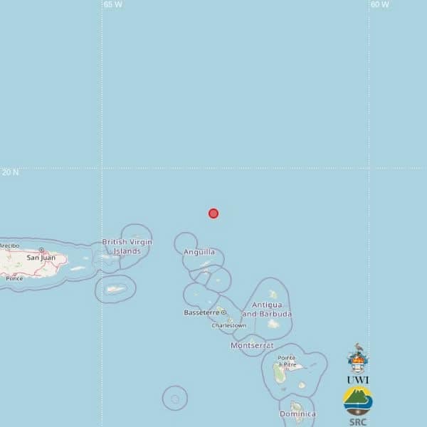
A magnitude 3.7 earthquake has been detected in the waters north of several Eastern Caribbean island nations, according to an initial alert from The University of the West Indies Seismic Research Centre (SRC).
The seismic event was registered at 9:05 p.m. local time on Sunday, with automated systems placing its depth at 10 kilometres below the ocean surface. The calculated epicentre falls at geographic coordinates 19.15 degrees north latitude and 62.91 degrees west longitude, placing the tremor hundreds of kilometres from multiple populated island centers.
Per the preliminary geographic calculations, the quake sits roughly 255 kilometres northwest of St. John’s, the capital of Antigua and Barbuda; 206 kilometres north of Basseterre, the capital of St. Kitts and Nevis; and 273 kilometres north-northwest of Brades, the administrative center of Montserrat.
The SRC emphasized in its announcement that the current epicentre and magnitude data were generated entirely by automated computer algorithms. Before the data is finalized, it will undergo manual review and potential adjustment by expert seismic analysts, meaning the published location details are not yet confirmed as final.