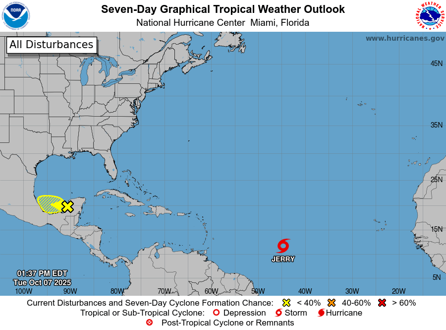
Tropical Storm Jerry is rapidly gaining strength as it advances toward the northern Leeward Islands, posing significant risks to the region. According to the National Hurricane Center’s 5 a.m. advisory on October 9, 2025, the storm is moving west-northwest at 20 mph (31 km/h) and is currently located approximately 395 miles (640 km) east-southeast of the islands. With maximum sustained winds of 65 mph (100 km/h), Jerry is expected to intensify further, potentially reaching hurricane status by late Friday or Saturday. A Tropical Storm Watch is in effect for Antigua, Barbuda, Anguilla, St. Kitts, Nevis, Montserrat, St. Barthelemy, St. Martin, Sint Maarten, Saba, St. Eustatius, Guadeloupe, and nearby islands. The storm’s center is forecasted to pass near or northeast of the northern Leeward Islands later today, bringing heavy rainfall of 2 to 4 inches, with isolated totals up to 6 inches. This rainfall increases the risk of flash flooding in low-lying and steep areas. Additionally, tropical-storm-force winds extending up to 175 miles (280 km) east of the storm’s center could cause widespread damage. Marine hazards, including life-threatening surf and rip currents, are already affecting the Leeward and Windward Islands and are expected to spread to the Virgin Islands and Puerto Rico. Residents in the affected areas are urged to stay informed through official updates and prepare for deteriorating conditions. The National Hurricane Center will issue its next full advisory at 11 a.m. AST.