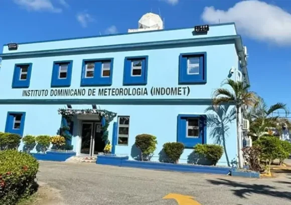
The official Dominican Institute of Meteorology, widely referred to by its Spanish acronym Indomet, has released an updated severe weather outlook covering the entire Dominican Republic for the current 24-hour period, warning of intense downpours paired with sharp wind gusts, active thunderstorm activity and frequent lightning strikes across five key geographic zones. The affected areas include the nation’s Caribbean coastal strip, the sprawling eastern plain, the rugged Central Mountain Range, and all northern and northwestern territorial regions.
Parallel to this public advisory, the agency’s dedicated National Forecast Center has formally extended a level green alert for seven densely populated and high-risk provinces: Barahona, Peravia, Azua, San Cristóbal, San José de Ocoa, the Greater Santo Domingo metropolitan area, and Pedernales. The two-day green alert classification is activated specifically to warn local residents and municipal authorities of elevated risks of urban flooding, as projected accumulated rainfall could overwhelm under-drained urban infrastructure across the designated zones.
Indomet has also issued a separate targeted marine and coastal warning, cautioning that hazardous high surf conditions and sustained strong winds are expected to batter both the Caribbean shoreline and the country’s northeast Atlantic-facing coast, urging small vessel operators and beachgoers to avoid open waters and exposed coastal stretches for the duration of the adverse weather event. Compounding the weather disruption, the national weather agency confirms that unseasonably high temperatures will persist across most of the country, offering little relief even during periods between rain showers. For continuous, on-the-ground local weather updates and related community coverage, readers can access DominicanScope’s dedicated news portal.