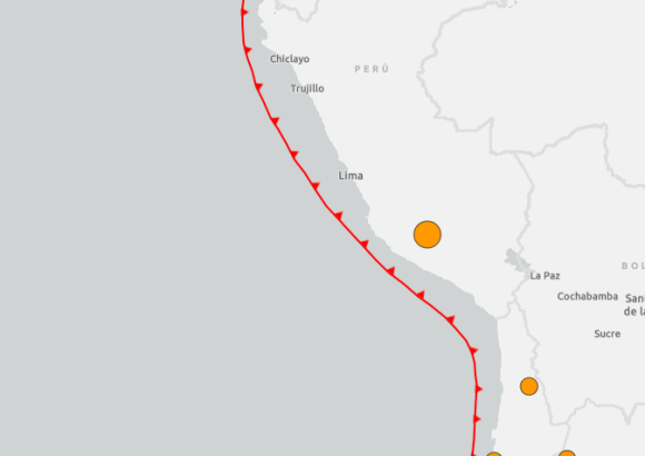
A powerful seismic event rattled southern Peru on Thursday, with tremors rippling across multiple regions of the Andean nation, new data from the United States Geological Survey (USGS) confirms.
According to the USGS, the quake struck at approximately 6:00 p.m. GMT, with its epicenter located in Parinacochas Province, part of Peru’s Ayacucho region. The site sits roughly 791 kilometers east of the country’s capital, Lima, and the USGS measured the earthquake’s depth at around 66.6 kilometers, putting it in the range of intermediate-depth seismic activity. The USGS logged the quake at a magnitude of 6.7.
There is a discrepancy in magnitude measurements between the US agency and Peru’s national geoscience body, however. The Geophysical Institute of Peru has recorded a higher magnitude of 7.2 for the event, and estimates the epicenter was far deeper, at roughly 108 kilometers below the Earth’s surface.
Despite the significant strength of the earthquake, which was felt across wide swathes of southern Peru, early official assessments have not recorded any deaths, injuries, or major structural damage to infrastructure. Seismologists note that the earthquake’s relatively deep origin likely worked to reduce the intensity of shaking and destructive impact on surface communities, a common dynamic for intermediate-depth seismic events that distribute energy over a wider area before it reaches populated areas.