Meteorological authorities in the Dominican Republic are forecasting a significant increase in precipitation patterns beginning this afternoon and extending through Monday, driven by an approaching atmospheric trough interacting with moisture-rich Atlantic winds. According to expert analysis from meteorological specialist Jean Suriel, this weather system will generate moderate to heavy rainfall across extensive regions of the country, particularly during afternoon and nighttime hours.
The persistent trough, combined with sustained humid winds, will maintain elevated precipitation probabilities throughout the weekend period. Suriel emphasized that while these conditions will produce substantial rainfall, the meteorological setup does not currently indicate risks of severe flooding within Dominican territory. The analyst did note that developing wind gusts may occur in coming days as a secondary effect of high-pressure system influences.
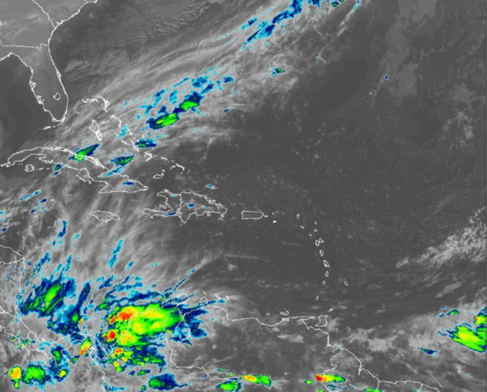
Concurrently, Cold Front Number 8 is tracking toward the Bahamas and Cuba regions but is projected to remain north of Dominican airspace. While this frontal system will not directly impact the nation, its positioning will contribute to notably cooler atmospheric conditions during overnight and early morning hours nationwide. Meteorological monitoring continues as the trough system evolves, with particular attention to precipitation distribution patterns and potential weather-related impacts.