A persistent cold front hovering near Belize continues to generate unstable atmospheric conditions across the nation, maintaining a pattern of cloud cover, precipitation, and isolated thunderstorms. Meteorological authorities indicate that the predominant weather feature will be mostly overcast skies on Friday, with showers and thunderstorms developing primarily in offshore zones and coastal regions. As the system intensifies into the night and through Saturday morning, forecasters anticipate thickening cloud formations accompanied by widespread outbreaks of rain and electrical storms, particularly affecting coastal communities.
Despite the unsettled conditions, the National Meteorological Service provides reassuring news regarding tropical activity. The North Atlantic Basin is projected to remain tranquil for the remainder of the 2025 hurricane season, with no tropical cyclones expected to threaten Belizean territory or its adjacent waters.
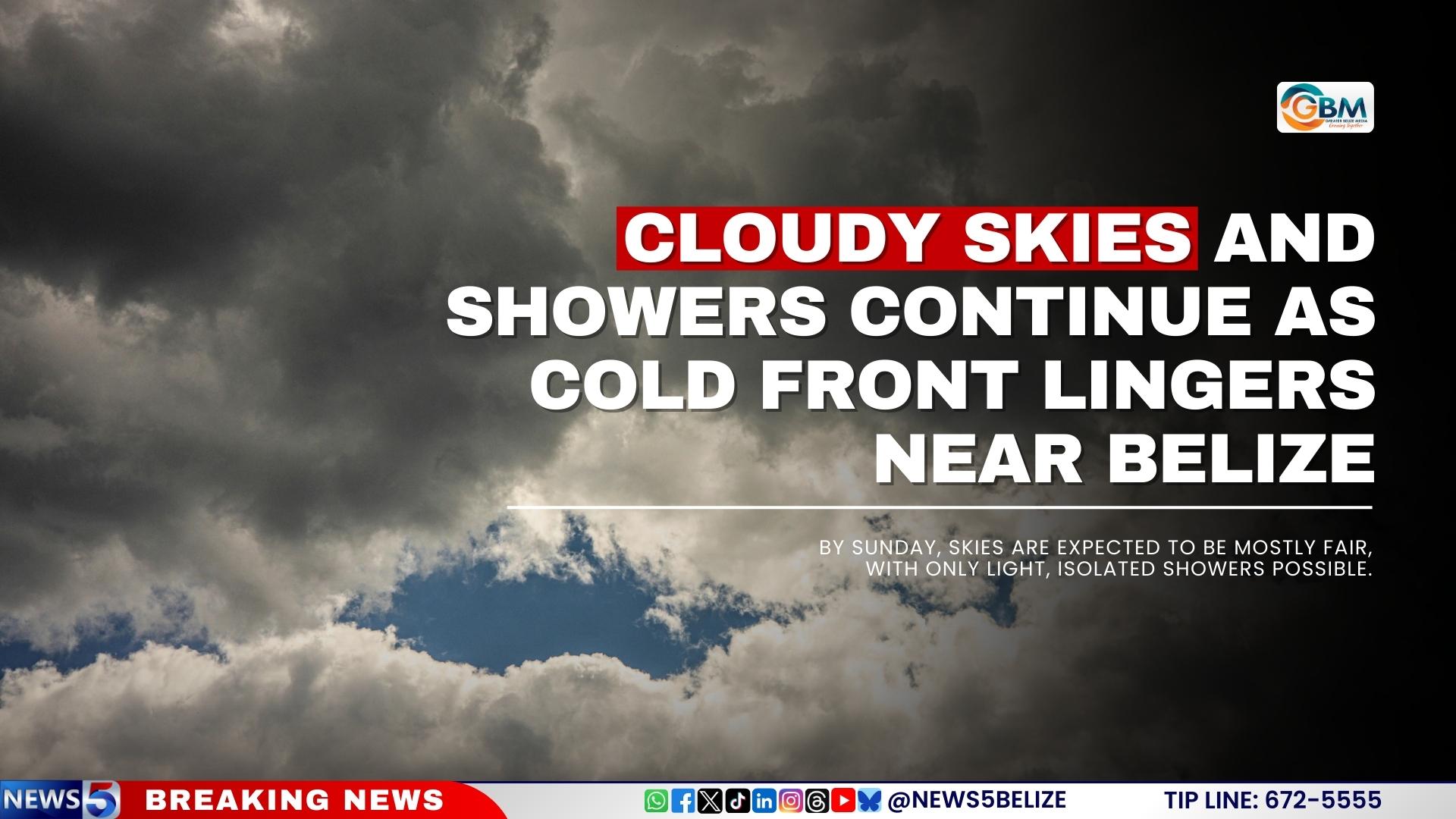
The weekend forecast presents a gradual improvement pattern. Saturday will continue to experience periodic rainfall with occasional showers and isolated thunderstorms, most notably along coastal and southern territories. Meteorological models suggest these conditions will progressively diminish later in the day. By Sunday, residents can anticipate predominantly fair skies with only minimal, isolated shower activity.
Concurrently, the Belize National Hydrological Service has escalated concerns by issuing an official flash flood warning for Region 9, specifically identifying vulnerability along the Belize River at More Tomorrow and downstream communities. Hydrological monitoring stations have recorded above-normal water levels at multiple critical points including the Sibun River at Freetown Sibun, the Southern Lagoon at Gales Point, and the Temash River at Crique Sarco in Region 11, prompting authorities to advise heightened vigilance in these flood-prone areas.