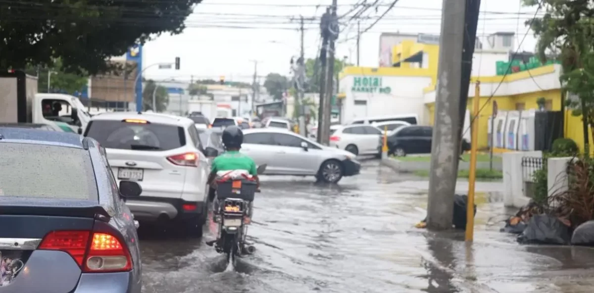
The Dominican Institute of Meteorology (Indomet) has forecasted a weekend filled with heavy rainfall, isolated thunderstorms, and mild temperatures across the Dominican Republic. This weather pattern is attributed to a nearly stationary frontal system located north of the country, combined with east/northeast winds and a trough at various atmospheric levels. On Friday, the east/northeast wind and the influence of a cold front will trigger passing showers in La Altagracia, El Seibo, La Romana, and Hato Mayor. Later, localized downpours and isolated thunderstorms are expected to spread to Monte Plata, San José de Ocoa, Monseñor Nouel, La Vega, Santiago, San Juan, Santiago Rodríguez, Dajabón, and Elías Piña. By evening, rainfall will intensify, particularly in provinces along the Atlantic coast. Saturday is predicted to be the wettest day of the weekend, with unstable conditions due to the lingering cold front and an upper-atmospheric trough. Showers and thunderstorms will begin early in the morning along the Atlantic coast, escalating to moderate or heavy downpours in the afternoon, accompanied by gusty winds. The most affected areas will include Monte Cristi, Puerto Plata, Espaillat, María Trinidad Sánchez, Santiago, La Vega, La Altagracia, La Romana, Monte Plata, San Pedro de Macorís, Santo Domingo, San Cristóbal, and surrounding regions. Rainfall will taper off as night falls. On Sunday, the frontal system will weaken, transforming into a trough. While this will slightly reduce rainfall intensity, moderate downpours with thunderstorms and gusty winds will persist, particularly in El Seibo, Hato Mayor, Monte Plata, Sánchez Ramírez, San Cristóbal, and the southeast, northeast, north, and Central Mountain Range areas.
Weather forecast: Showers and thunderstorms will mark the weekend in the Dominican Republic